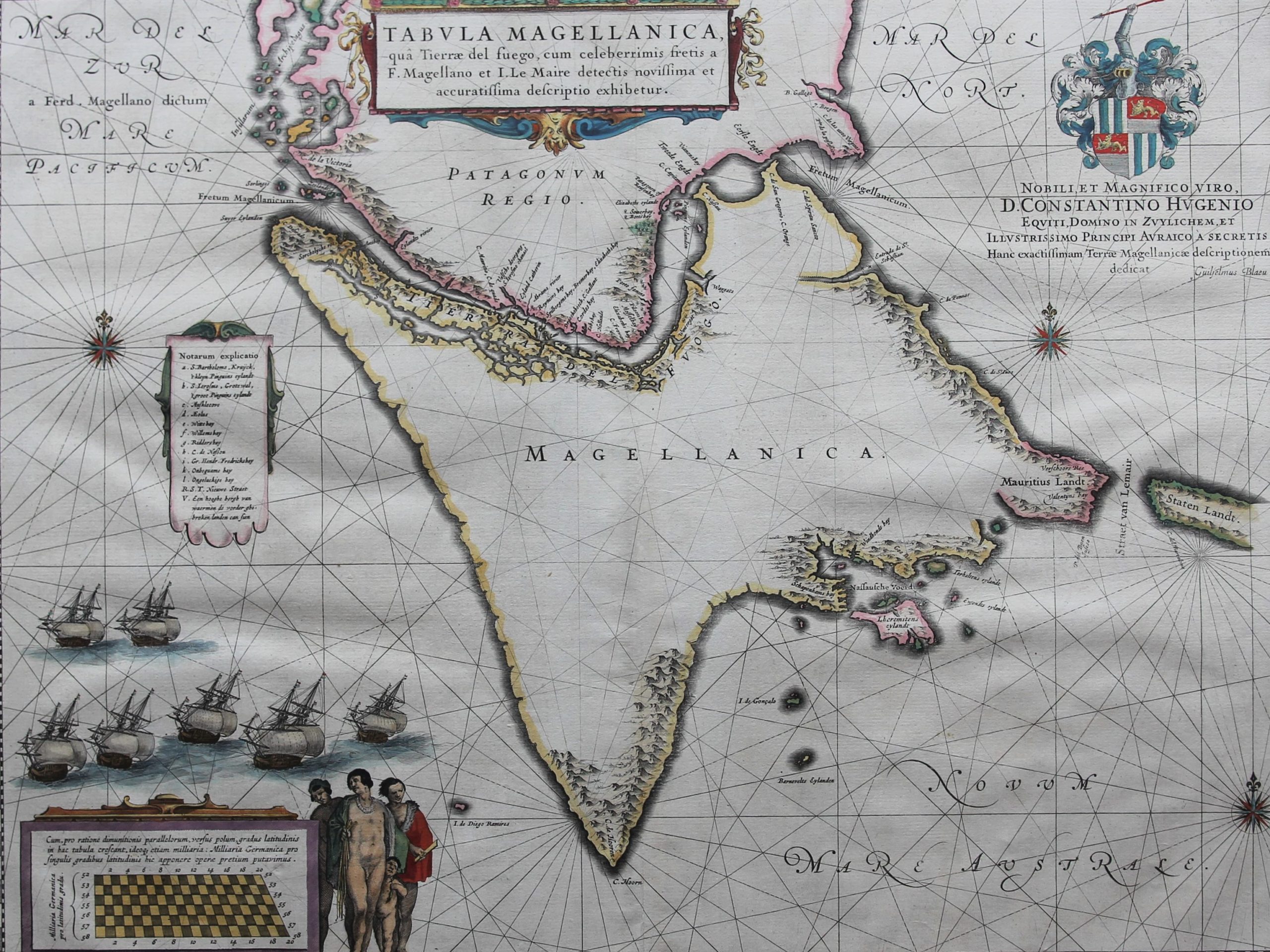
Strait of Magellan – Magellanica A
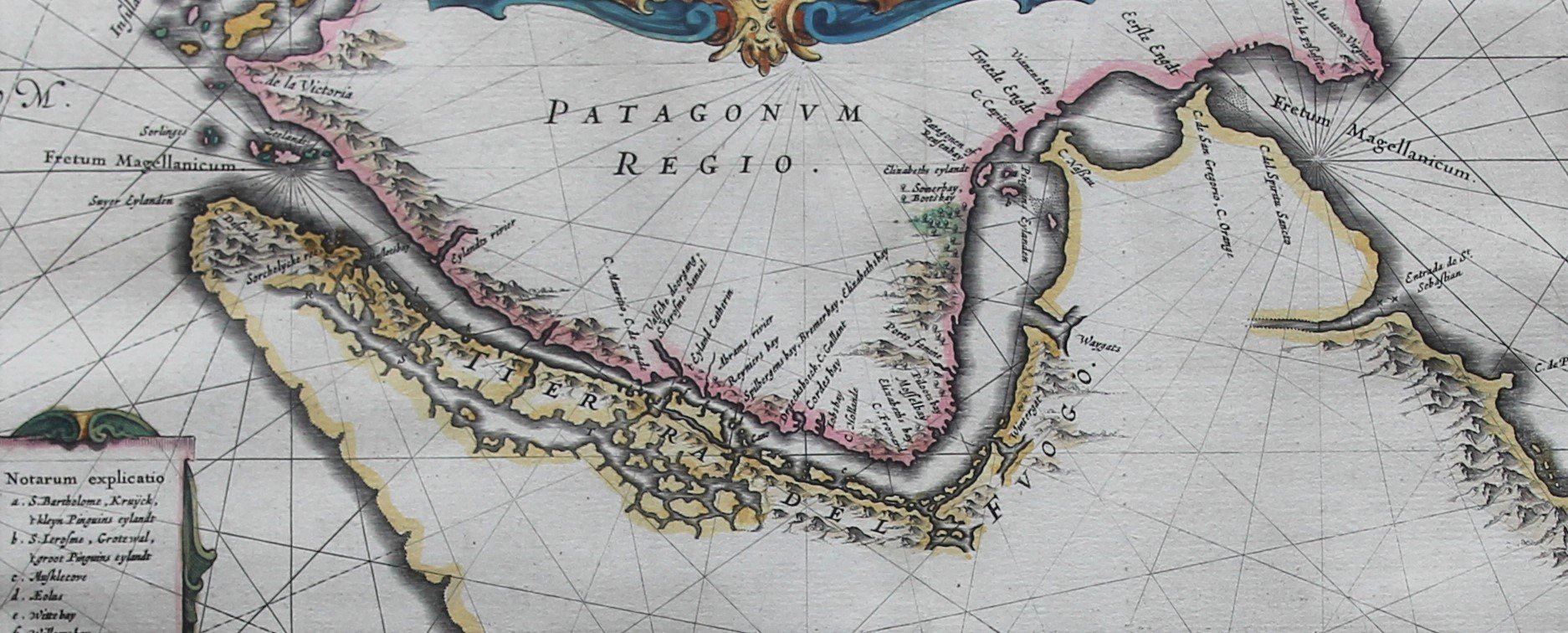
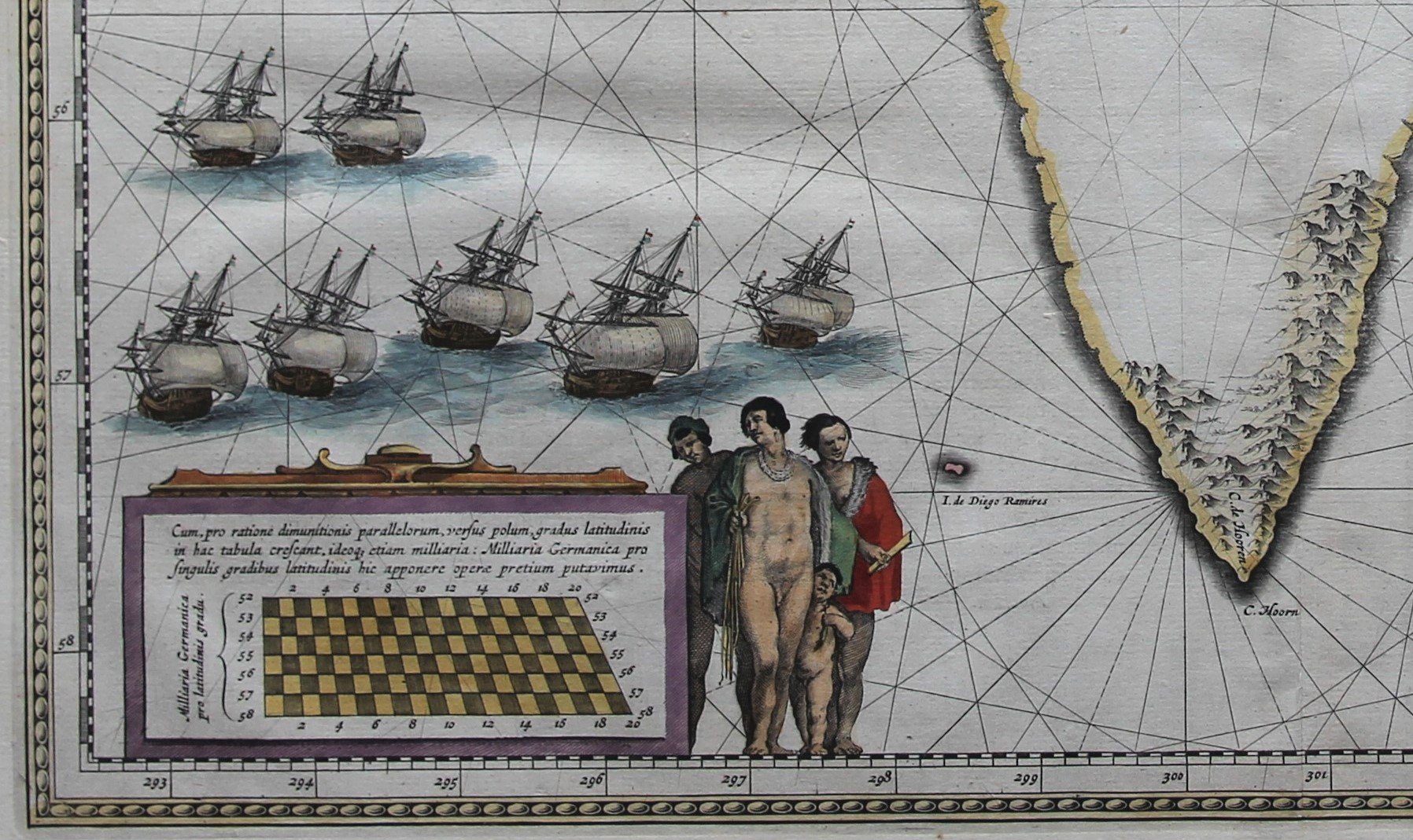
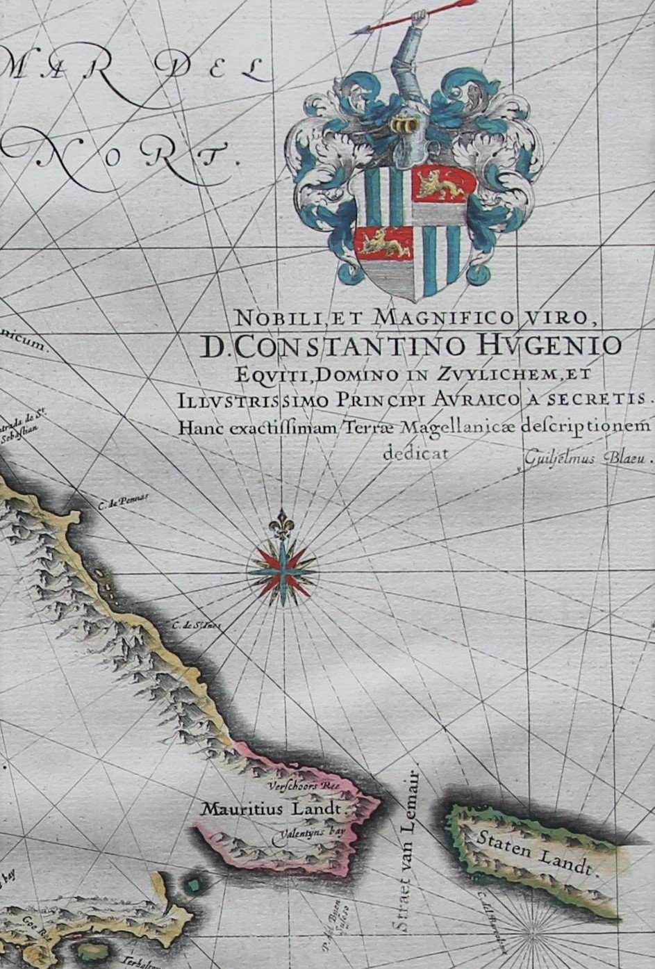
Detail
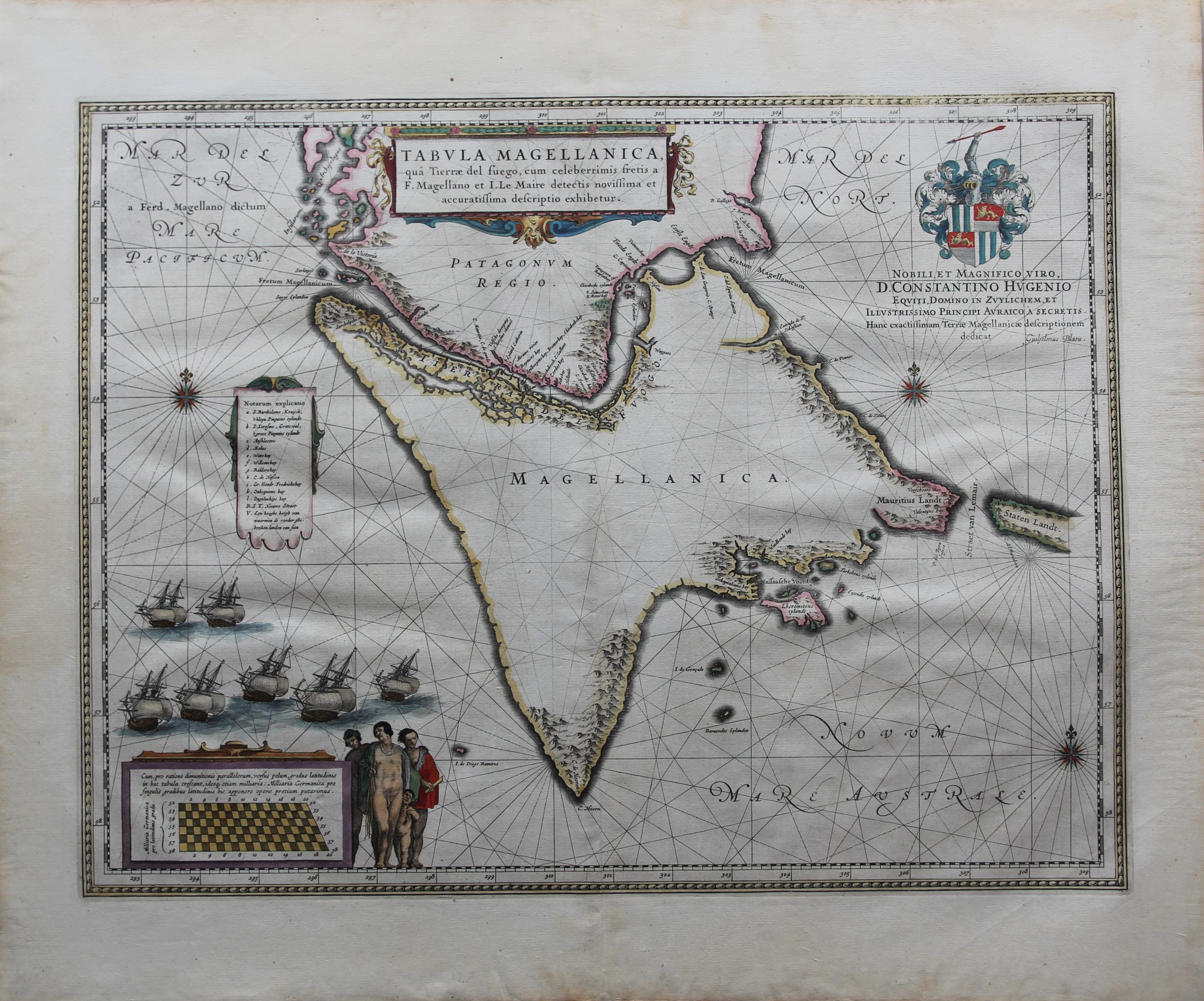
Date of first edition: 1635 (W. Blaeu)
Date of this edition: 1644-1655 (J. Blaeu)
Dimensions (not including margins): 41,5 x 53, 3 cm
Dimensions (including margins): 52,3 x 62,2 cm
Condition: Very good. Sharp printing. Nice colouring. Wide margins. Centre fold as published. Verso shows signs of previous framing.
Condition rating: A
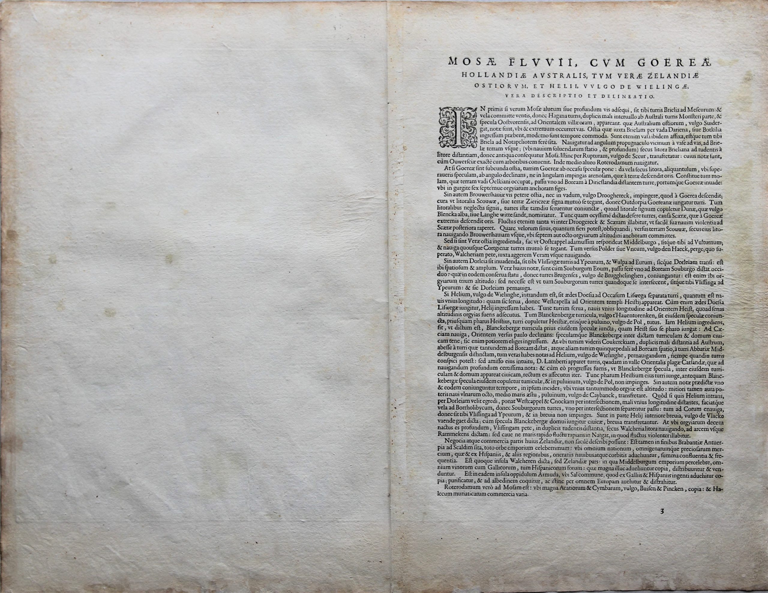
Verso: text in Latin
Map reference: Van der Krogt II, 9950:2B
From: Theatrum Orbis Terrarum by J. Blaeu, page 21
In stock
Magellanica
Willem Blaeu published a first version of this map in the Atlas Novus from 1635 onwards. This copy dates from 1644-1655 and comes from the atlas updated by son Joan. The general design of Tierra del Fuego and its adjacent islands actually comes into its own better in Hondius’s map. The position of the archipelago depicted as Lheremitens eylandt (now Isla Hermite) just north of Cape Horn (also an island) is equally suitable for Hondius. Blaeu also erroneously makes Cape Horn the southernmost point of Tierra del Fuego. However, the later mapmakers rather followed this map and not Hondius’s. Both Hondius and Blaeu rightly leave a passage in the west open in Tierra del Fuego. This is the so-called Beagle Canal, a street that was only discovered in 1830 during Charles Darwin’s cruise.
The cartouche at the top right mentions a dedication to Constantijn Huygens (The Hague, September 4, 1596 – The Hague, March 28, 1687), one of the greatest Dutch poets, and also a diplomat and composer. His coat of arms as lord of Zuilichem (a village east of Gorinchem in Gelderland) is displayed at the top. The English lions show that he received the knighthood from King James I in 1622 (where he was serving as a diplomat that year).
The naked man in the middle gave rise to Puritan protest. Blaeu then decided in later editions to provide the man with a skirt – without changing the copper plate itself. Blaeu continued to publish this map unaltered until 1670.


Collective purchase: an eccentric proposal
Have a look at our blog page. (just click here).
We have placed a lengthy and detailed historical and geographical study on the three main (Dutch) maps of the Strait of Magellan and Cape Horn. Here we mingle history and geography, continuing to the present! You find them under the name Strait of Magellan – Magellanica A, B and C.
A unique offer: We now sell this special set of four maps (A to D) at the discount price of 4.500 euro (transport costs and possible VAT excluded).