California and New Mexico
Fascinating, detailed and rare
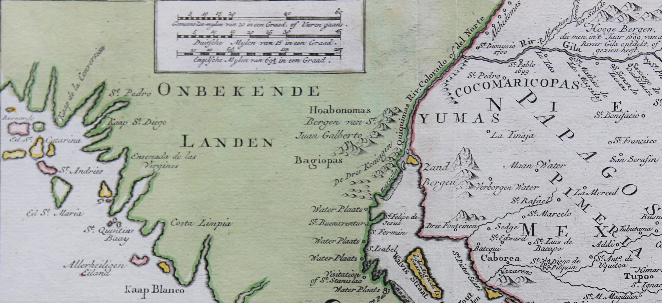
Detail
Date of first edition: ca. 1765
Date of this map: 1765
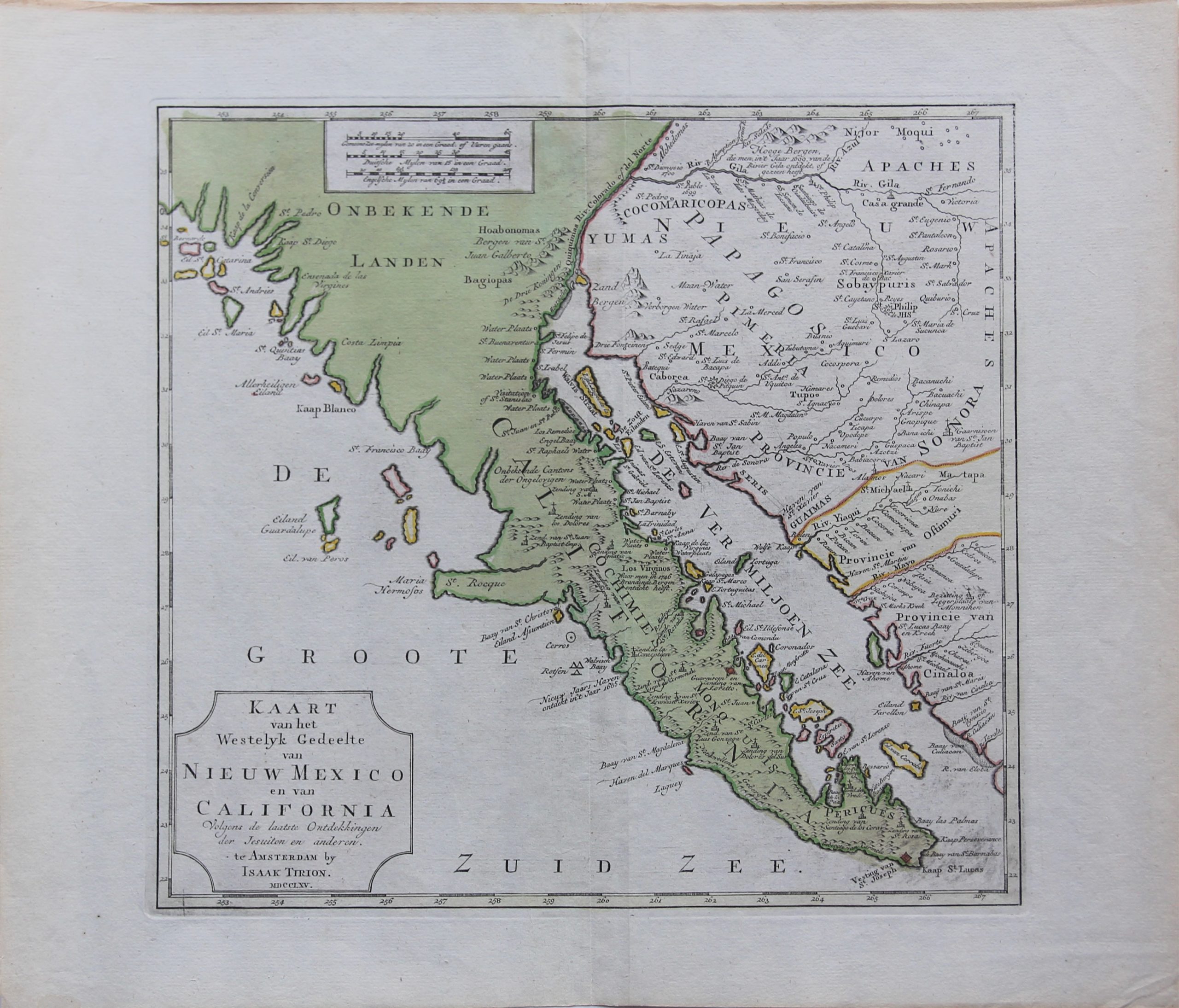
Dimensions (not including margins): 32,5 x 35 cm
Dimensions including margins: 41,2 x 48 cm
Condition: Very good. Sharp engraving on strong paper. Wide margins. Centre fold as published with second vertical fold to the right.
Condition rating: A+
Verso: blank
In stock
California and New Mexico
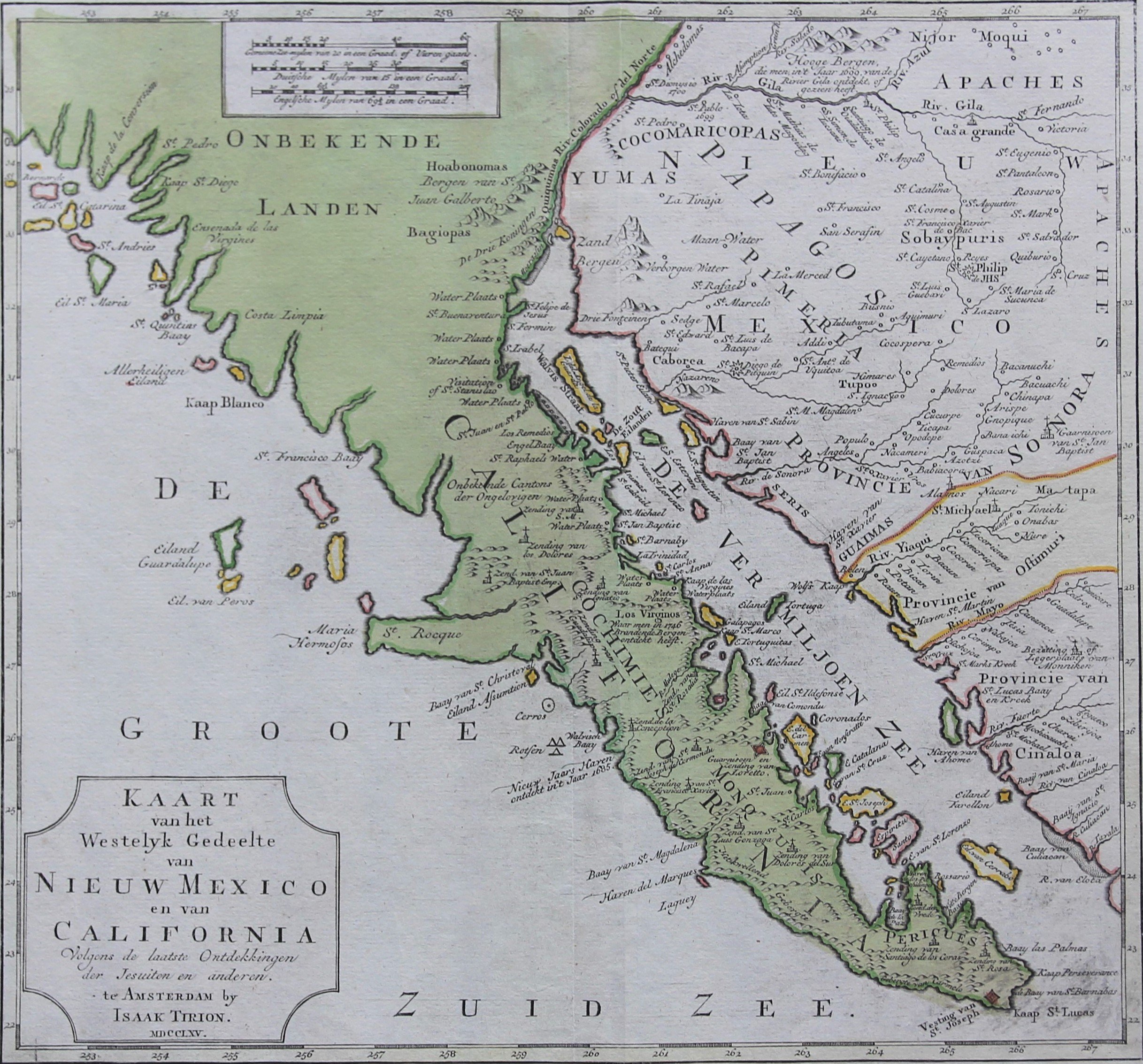
A detailed map of the Baja California and Sonora, bounded on the north by the Colorado and Gila Rivers and approximately Mozatlan in the south, thus including parts of modern Arizona and New Mexico, an area including the modern towns of Yuma, Phoenix, Casa Grande and Tucson, while Cape St. Diego is marked at the site of the modern city.
The Baja Peninsula and Sonora are shown to be dotted with Spanish garrisons and Jesuit missions established in the wake of Father Eusebio Kino who explored the area in the late 1600s.
The shores of the Peninsula and the Sea of Cortés are charted in finely assured detail as are the courses of the lower Colorado and Gila Rivers, the latter running near the present-day site of Phoenix, Arizona.
The map runs up to the archipelago of the Channel islands of California (before Los Angeles).
Toponyms are in Dutch or Spanish.
Original title: Kaart van het Westelyk Gedeelte van Nieuw Mexico en van California. . . MDCCLXV ..
