The Lesser Antilles
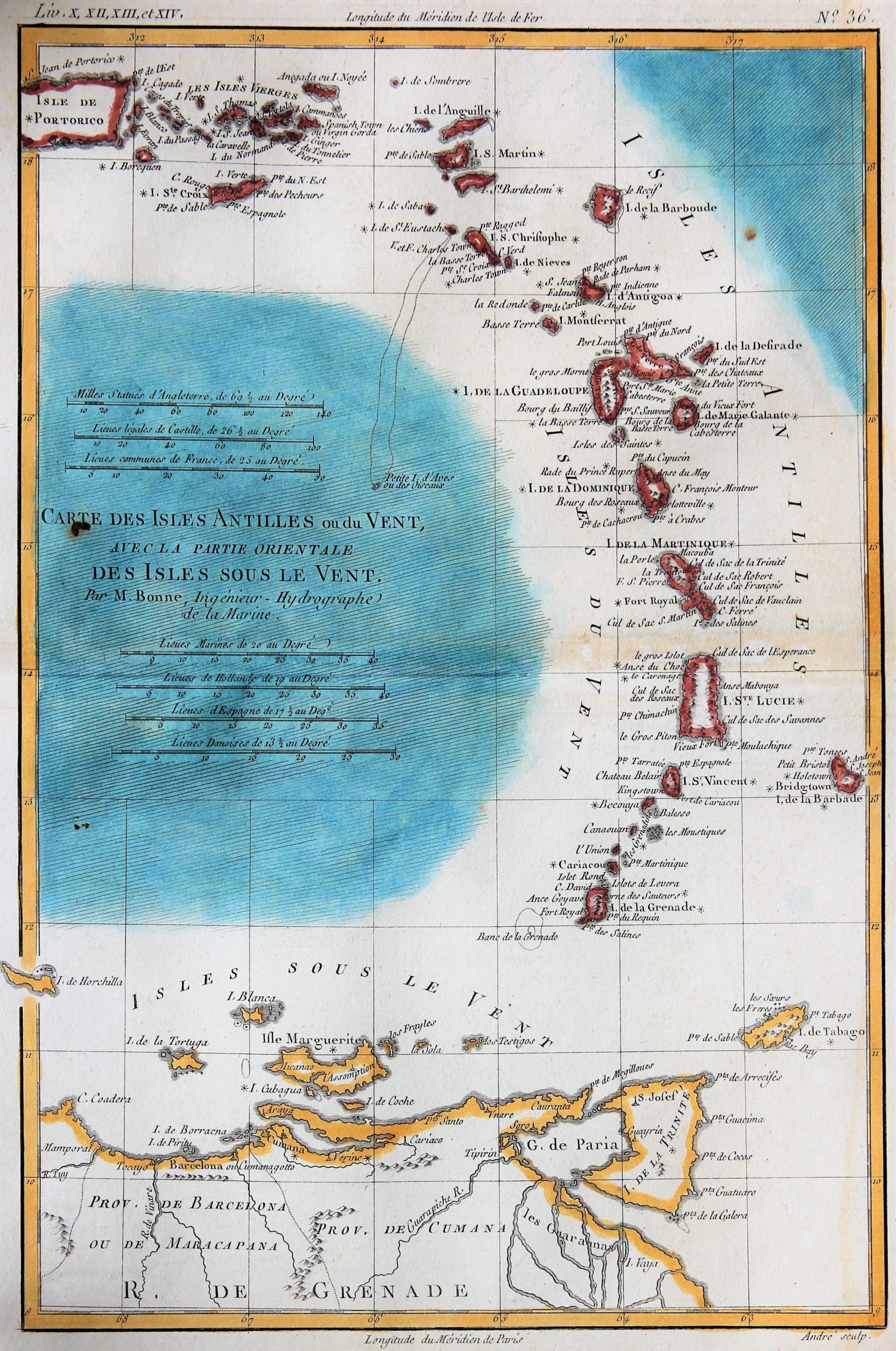
European overseas history in one map
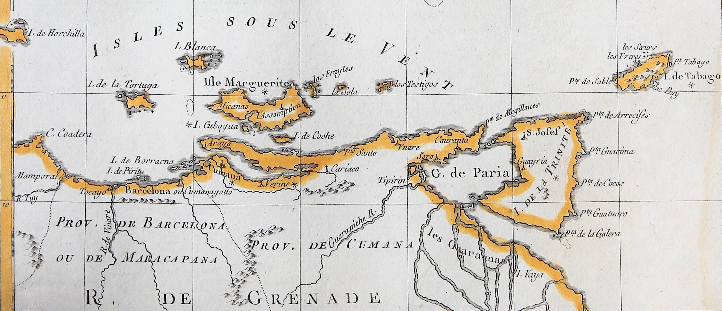
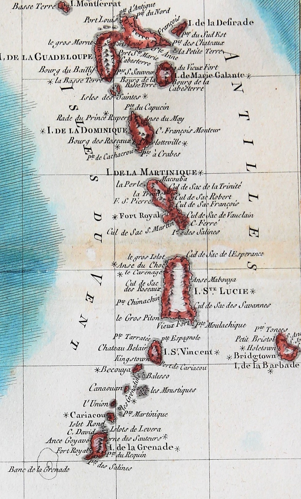
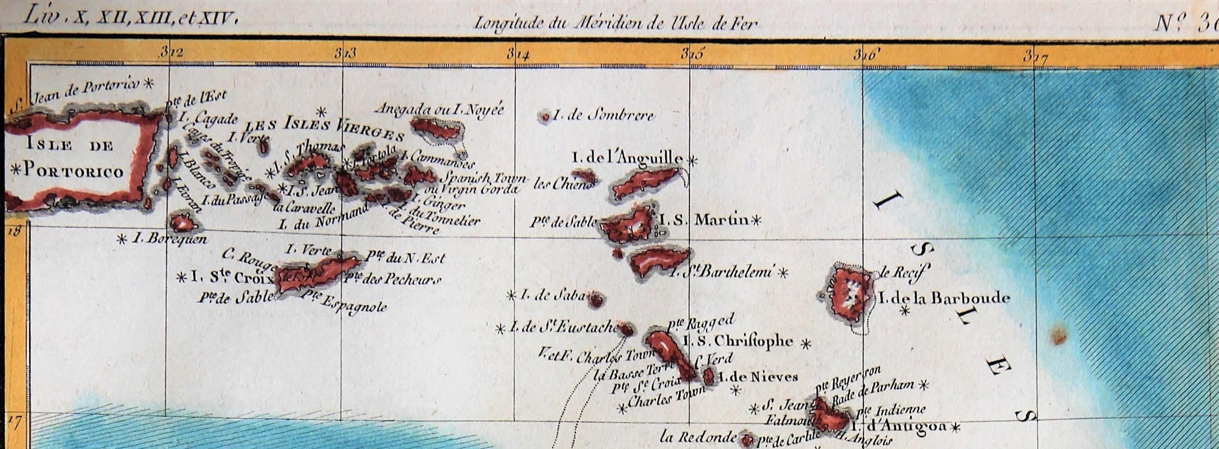
Detail
Date of first map: 1780
Date of this map: 1780
Dimensions (without margins): 25 x 35 cm
Dimensions (including margins): 21,3 x 32 cm
Condition: Very good copper engraving. Nice coloring Horizontal centre fold as published. Small hole under the word “CARTES” (left)
Condition rating: A
Verso: blank
From: Atlas de toutes les parties connues du globe terrestre
In stock
The Lesser Antilles: a constitutional patchwork
“Cartes Des Isles Antilles ou du vent”
The Lesser Antilles is a group of very diverse islands in the Caribbean Sea. Most form a long, partly volcanic arc between the Greater Antilles to the north-west and the continent of South America. The islands form the eastern boundary of the Caribbean Sea with the Atlantic Ocean. Together, the Lesser Antilles and the Greater Antilles (including the Cayman Islands, Cuba Hispaniola, Jamaica and Puerto Rico) compose the Antilles. This map focuses on the Lesser Antilles.
The LEEWARD ISLANDS are a group of islands starting with the Virgin Islands east of Puerto Rico. They extend southeast to Guadeloupe and its dependencies. In English, the term Leeward Islands refers to the northern islands of the Lesser Antilles chain. The more southerly part of this chain, starting with Dominica, is called the Windward Islands. Dominica was originally considered part of the Leeward Islands, but was transferred from the British Leeward Islands to the British Windward Islands in 1940.
From the northwest to the southeast, the islands are, with indication of their constitutional position:
- “Spanish” Virgin Islands: Culebra and Vieques, now part of the Commonwealth of Puerto Rico.
- US Virgin Islands: St Thomas, St. John, St Croix, Water Islands: devolved presidential constitutional dependency; until 1917 the Danish West Indies
- British Virgin Islands: Jost Van Dyke, Tortola, Virgin Gorda, Anegada (a British Overseas Territory: a constitutional link with – but not forming part of – the United Kingdom: devolved administrations under a constitutional monarchy)
- Anguilla (also a British Overseas Territory)
- Saint Martin / Sint Maarten (French overseas collectivity / a constituent country of the Kingdom of the Netherlands)
- Saint-Barthélemy (French overseas collectivity)
- Saba (a special municipality of The Netherlands)
- Sint Eustasius (a special municipality of The Netherlands)
- Saint Kitts (forms a state – a Commonwealth realm – with Nevis, known as the Federation of Saint Christopher and Nevis)
- Nevis (Commonwealth realm with Saint Kitts)
- Barbuda (forms a state – a Commonwealth realm – with Antigua)
- Antigua (forms a state – a Commonwealth realm – with Barbuda
- Redonda (uninhabited part of Antigua & Barbuda)
- Monserrat (British Overseas Territory)
- Guadeloupe [rench overseas department; France has several Régions de l’Outre-mer, such as Martinique, Guyane, La Réunion, Mayotte. It consists of six inhabited islands, Basse-Terre and Grande-Terre (near Guadeloupe), Marie-Galante, La Désiderade and the Îles des Saintes, as well as many uninhabited islands and outcroppings]
- La Désiderade (dependency of (and near) Guadeloupe, Fr.)
- Îles des Saintes (dependency of and near Guadeloupe, Fr.)
- Marie-Galante (dependency of and near Guadeloupe, Fr.)
The WINDWARD ISLANDS, also known as the Islands of Barlovento, are the southern, generally larger islands of the Lesser Antilles, situated south of the Leeward Islands The name was also used to refer to a British colony in these islands, existing between 1833 and 1960 and consisting of the islands of Saint Lucia, Saint Vincent, the Grenadines, and Grenada. The island of Dominica was traditionally a part of the Leeward Islands until 1940, when it was transferred from the Leeward Islands colony to the Windward Islands.
The French Martinique is the main island of the Windward Islands. Cristophe Colomb was the first European to set foot on Martinique on 15 June 1502, during his fourth Voyage.
The smaller Turks and the larger Caicos Islands are also a BOT, but they are not part of the Antilles. They are situated Northeast of Cuba.

Rigobert Bonne
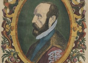
Rigobert Bonne (1737-1795) was one of the leading cartographers in the late 18th century. As “hydrographer” at the French “Depôt de la Marine”, R. Bonne was able to visit various locations around the world and draw the respective maps. Bonne completed the most modern and detailed maps of his time, and to him we owe the transition from ancient French cartography, focused on decorative embellishment, to modern cartography, inclined to greater detail precision.
Atlas de toutes les parties connues du globe terrestre
The Raynal/Bonne atlas was one of the most popular and successful French atlases of its period, and the most confusing. It was intended to accompany Raynal’s Historique Philosophique et Politique des Etablissemens et du Commerce dans les deux Indes , 1778, but the atlas volumes appeared without a publisher’s imprint. This version, one of a number of presumed French/Swiss printings, has the maps signed by Bonne, while many of the maps are signed by the engraver, Gaspard André.