Nova Hispania et Nova Galicia – Mexico
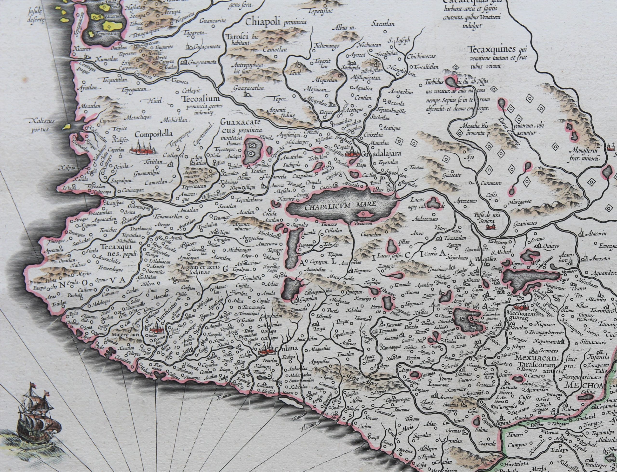
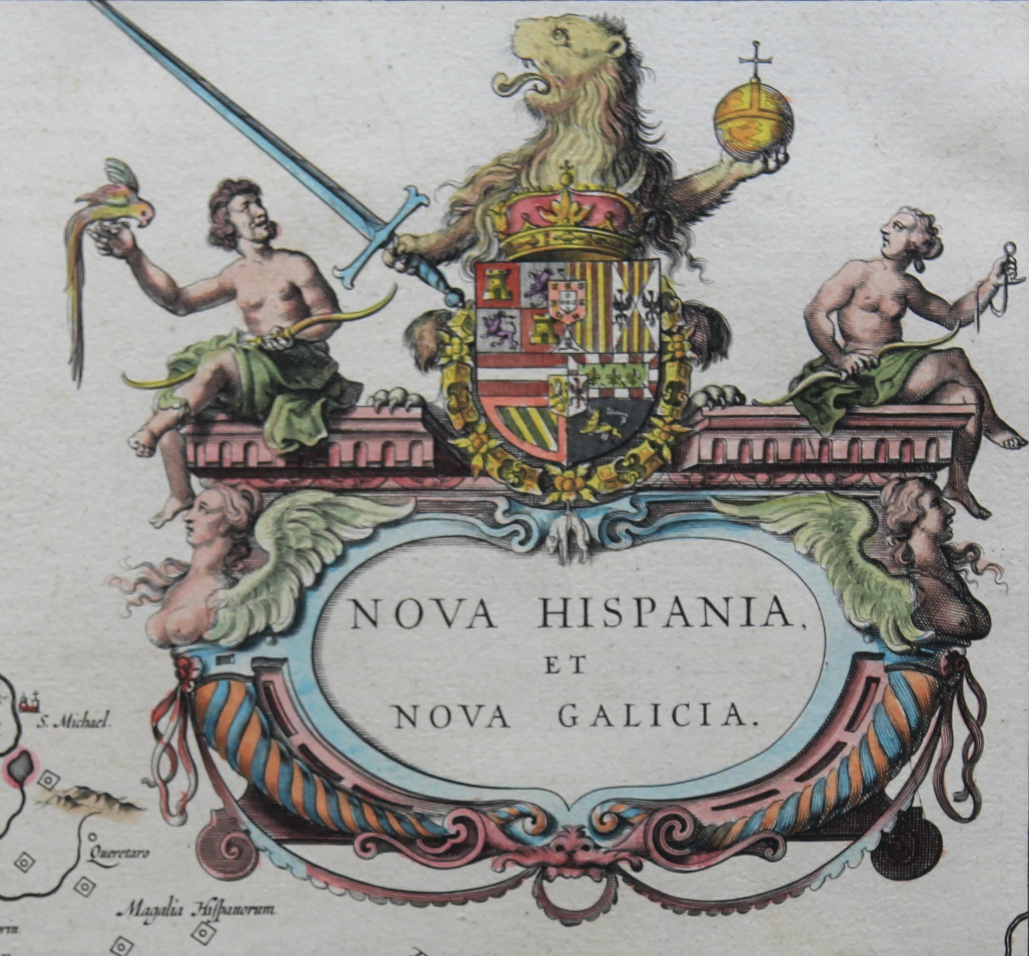
Detail
Date of first edition: 1634 (Novus Atlas by Willem Blaeu)
Date of this map: 1638 or 1640 or 1643
Dimensions (not including margins): 38,8 x 49,8 cm
Dimensions (including margins): 49 x 57,8 cm
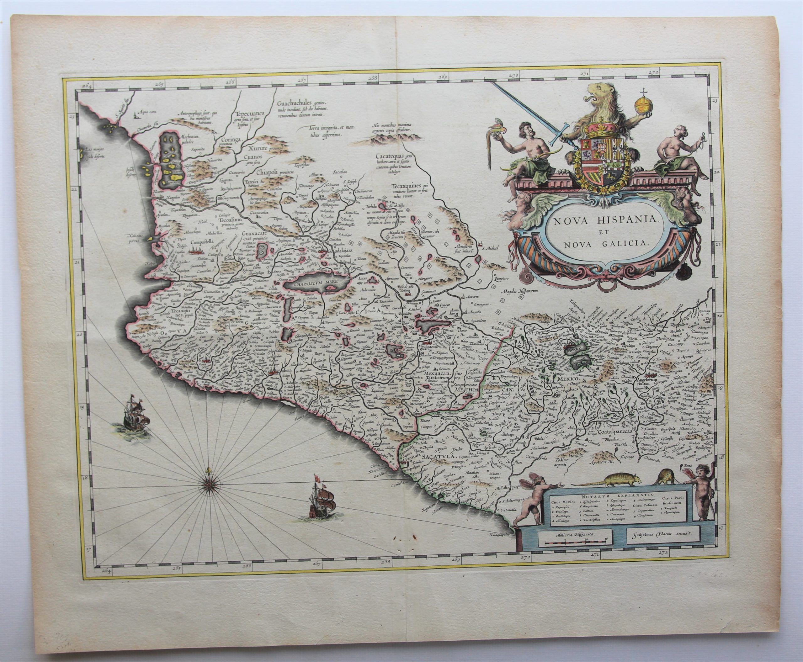
Condition: Very good. Sharp engraving on strong paper. Centre fold as published. Attractive discrete original coloring. Wide margins. Small signs at bottom centre fold.
Condition rating: A
Verso: text in French
Map reference: Van der Krogt IV, 9510:2
From: Théatre du Monde; Van der Krogt IV, 2:113 (1638; Willem and Joan Blaeu); 2:211 (1640-1643; Joan and Cornelis Blaeu); 2:212-3 (1643-1650; Joan Blaeu)
In stock
Mexico
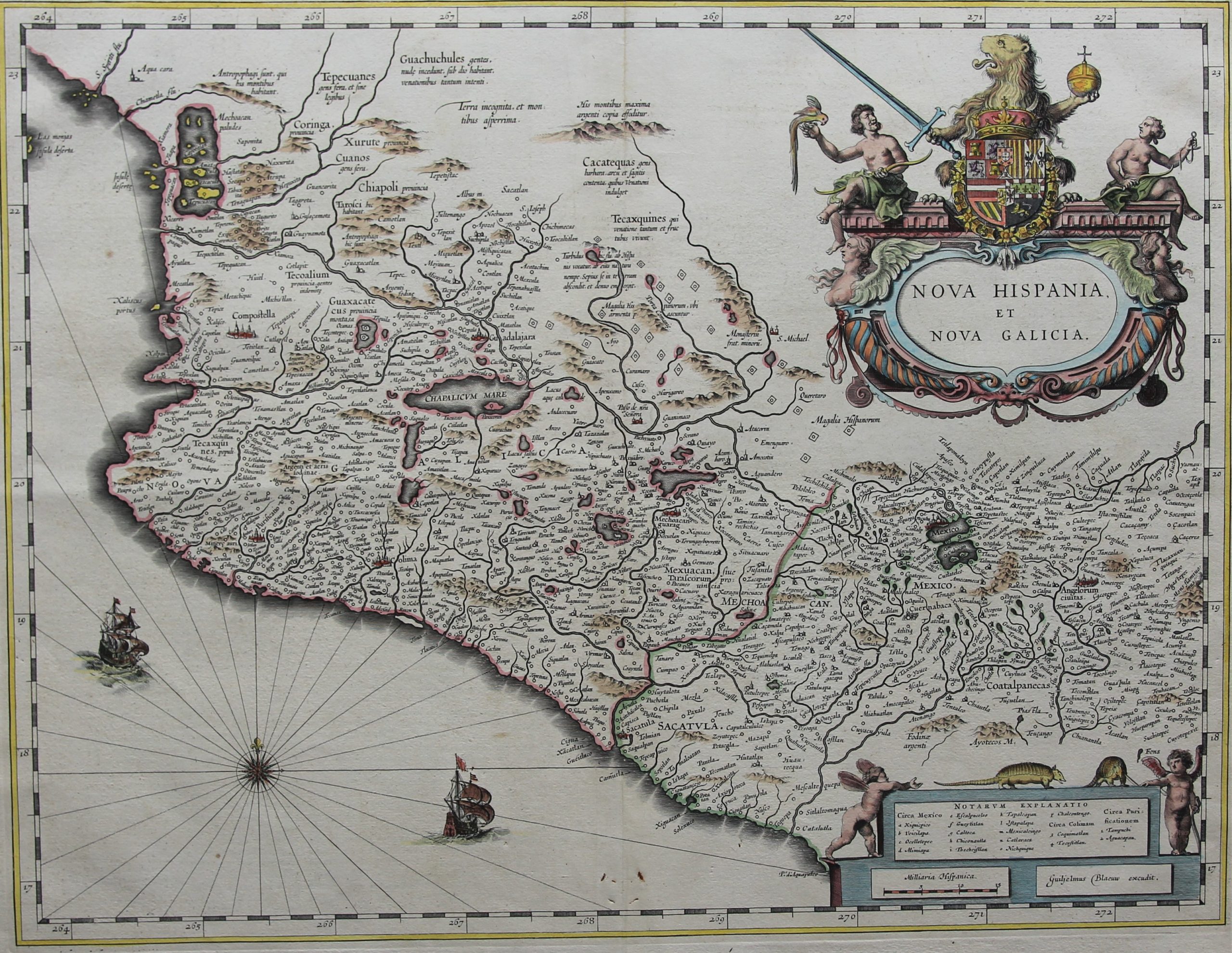
Willem Blaeu’s beautiful map of Mexico is based on Hondius’ map of 1606, which itself derives from Ortelius’ 1579 map. Mexico City is situated on a large lake. The area extends from just north of Mazatlan to Acapulco and from Tehuacan to the Sierra Madres, showing Mexico City, Puebla (Angelorum Civitas), Colima, Campostella, Purificatio and Mechoacan as the major cities of the time. Several gold and silver mines are located in the central region with a diamond shaped icon. A central mountain range has a Latin note that there are large amounts of silver to be found there.
The arms of King Philip IV of Spain appear on the very large title cartouche. Also on the lower cartouche are two armadillos, animals that often appear in allegorical representations as typical American animals. Further, there are two ships and a compass-rose in the sea part.
Gorgeous map of Mexico A highly ornate decorative map, with fabulous armorial title cartouche, sailing ships, compass rose and smaller cartouche. An essential map for any collection of maps of Mexico.
