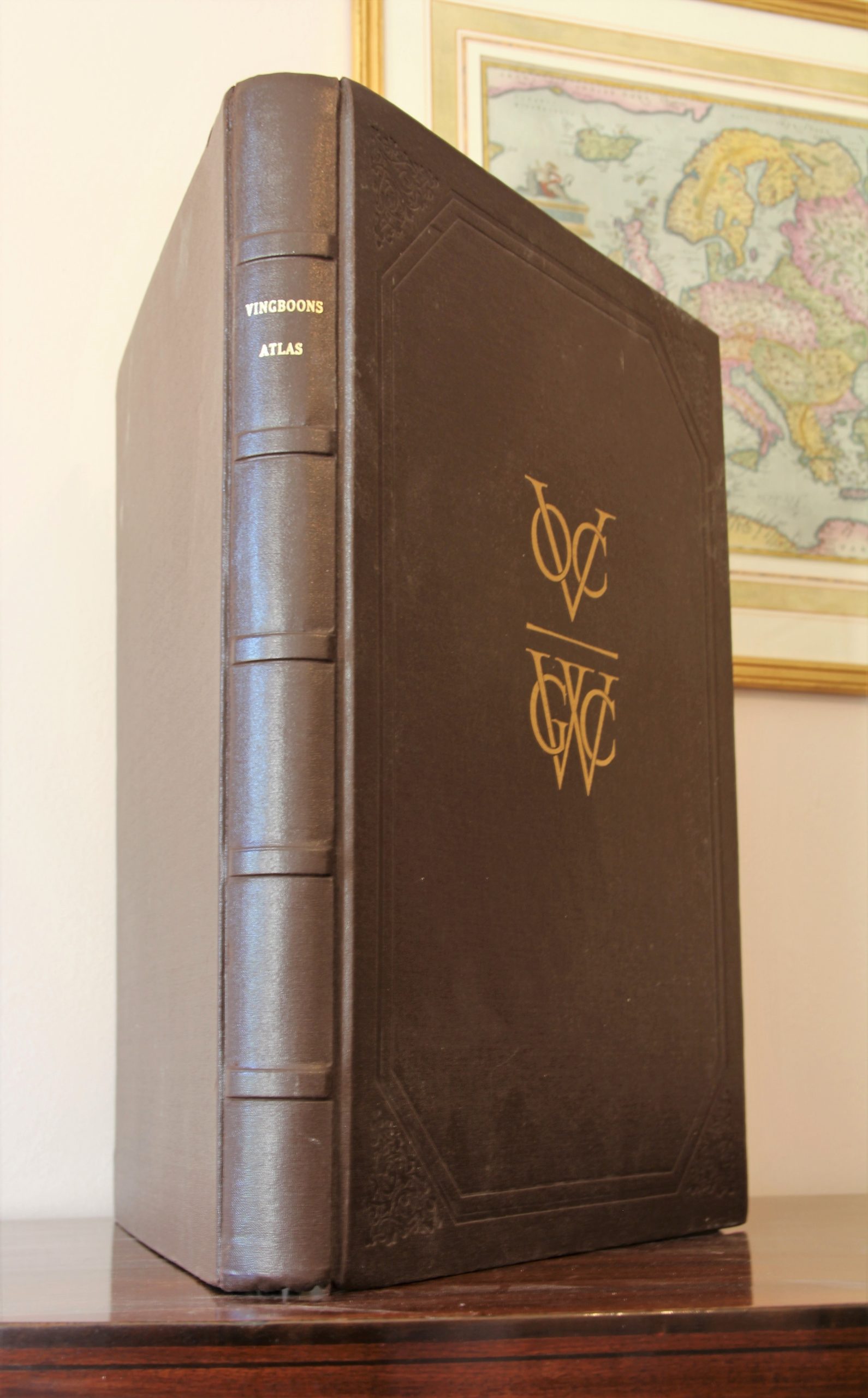
Vingboons’s Atlas on Dutch East and West Indies (V.O.C. & W.I.C.), 1621-1650, facsimile
A unique collector’s item
Detail
Vingboons’s Atlas on Dutch East and West Indies (V.O.C. & W.I.C.), 1621-1650, facsimile
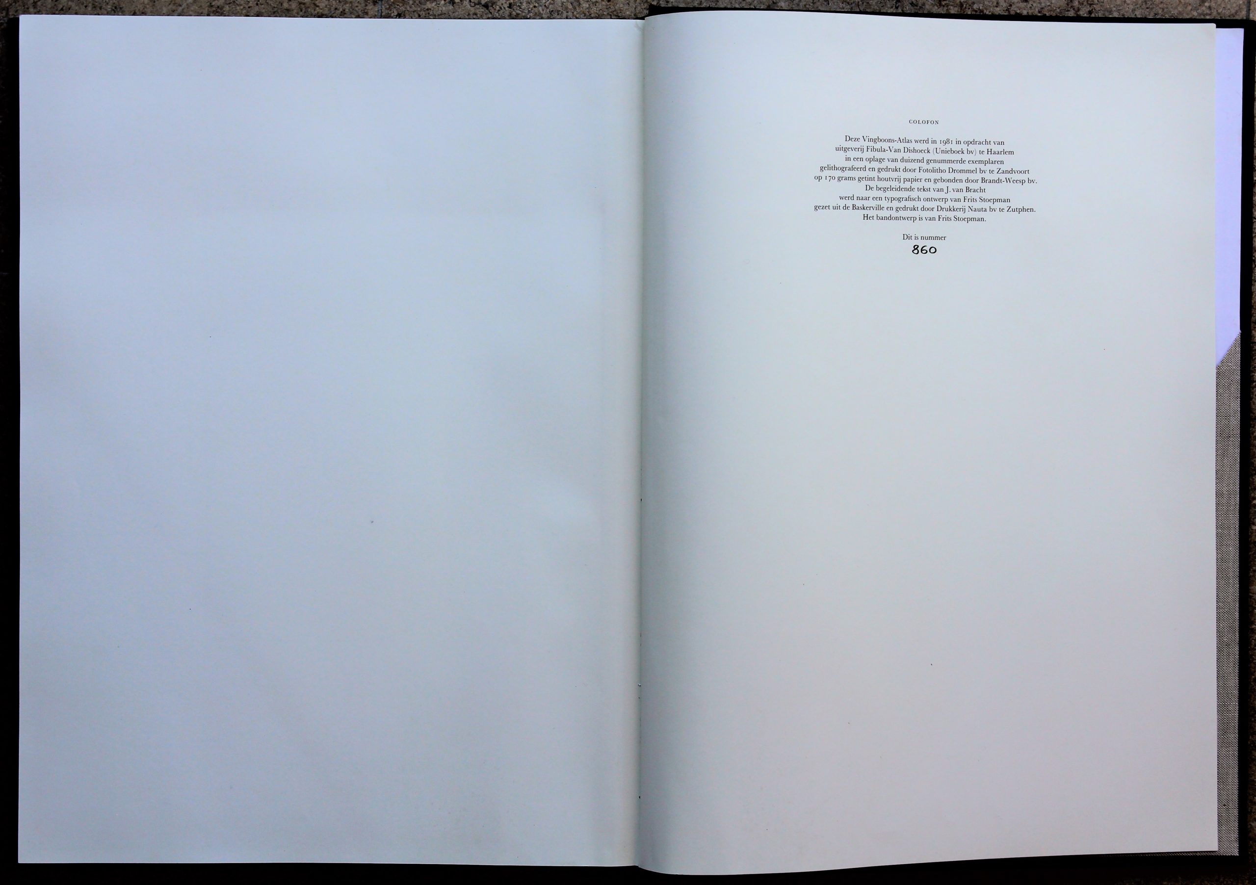
This sought-after and complete facsimile edition was printed in 1981 in an edition of only 1,000 numbered copies; this is ex. No. 860.
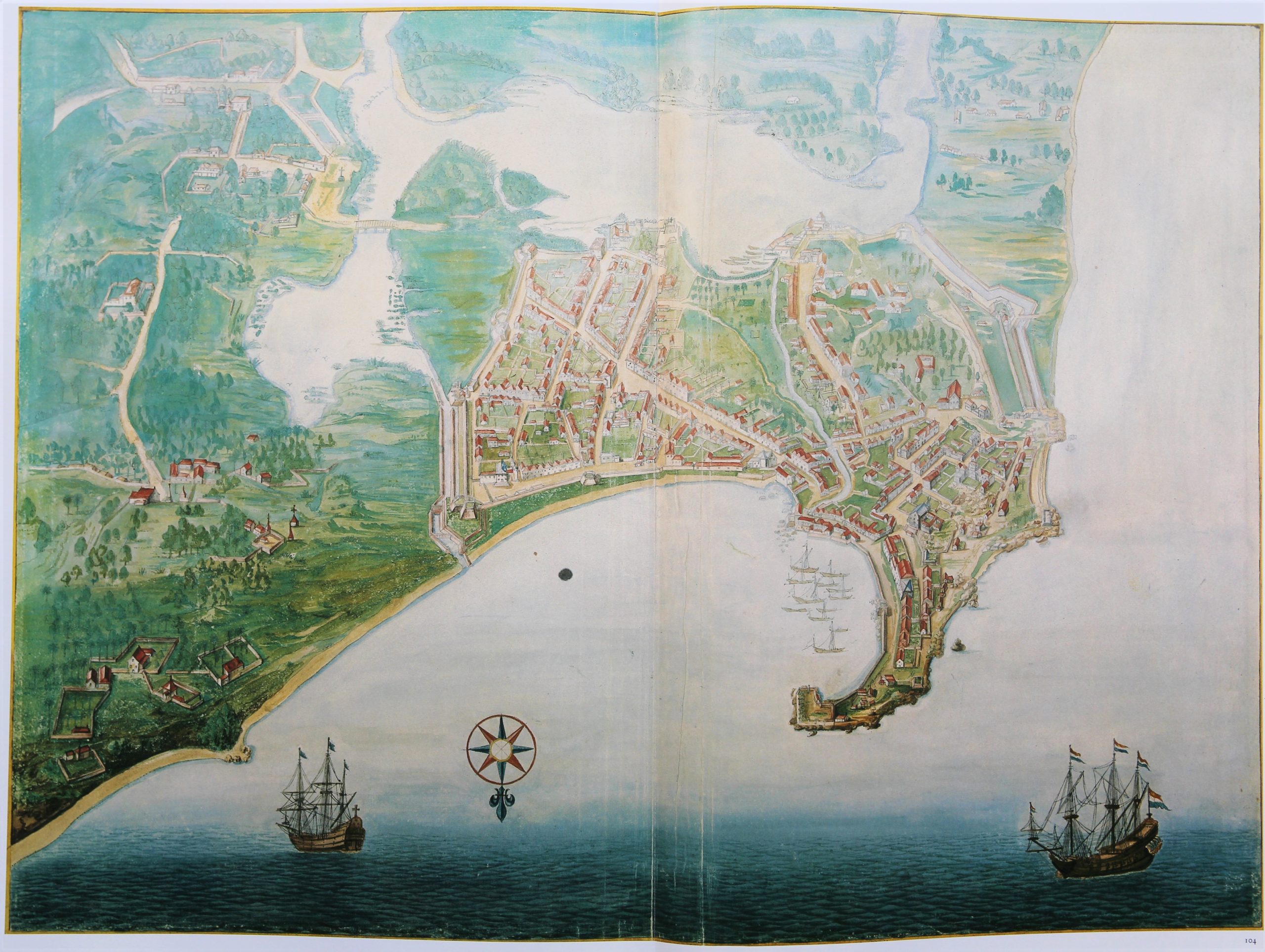
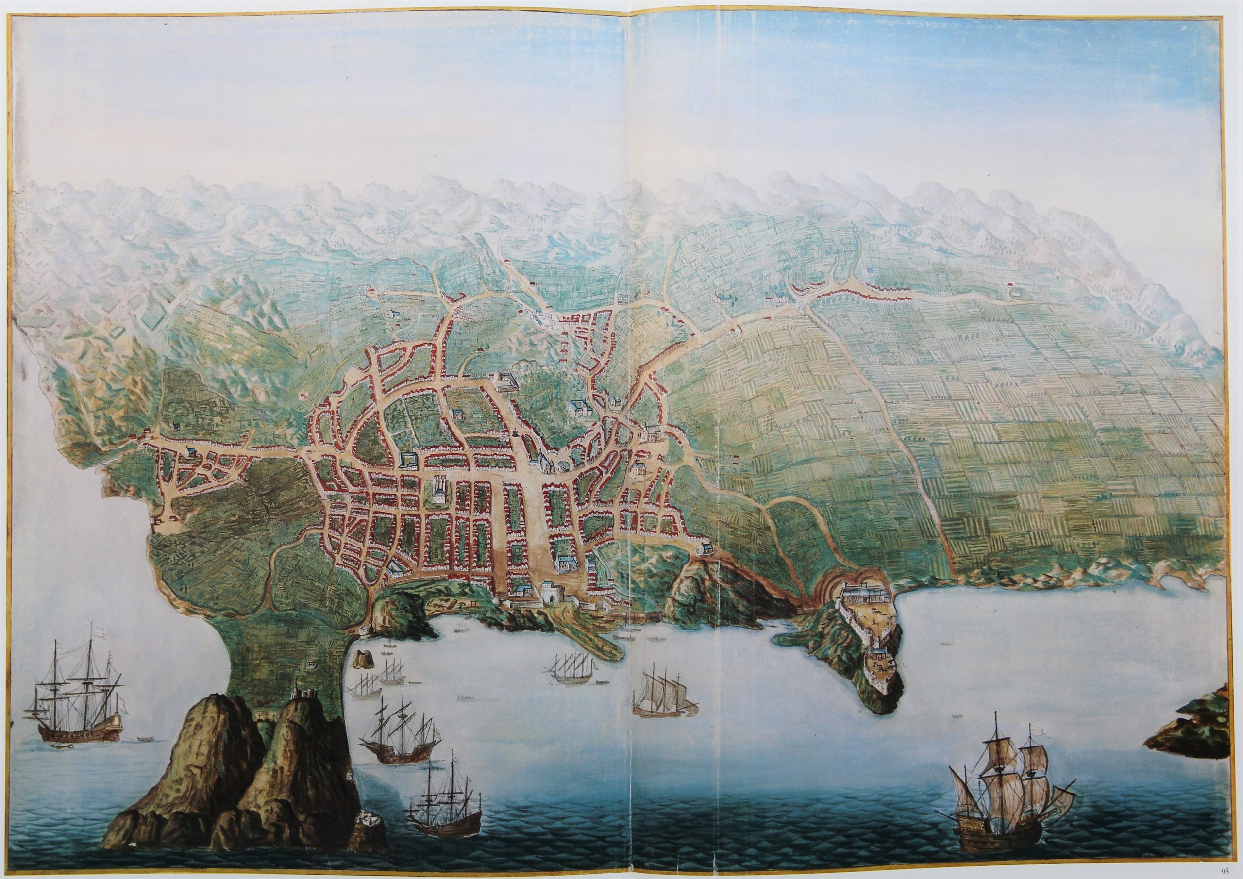
The artificial leather binding contains 107 reproduced maps and views, printed on a double or triple page sheet, and bound by an adhesive strip (as in the original edition), making the cards seamless.
Ca. 400 p
Dimensions: 49,5 x 36 x 4 cm
Weight: 6 kg. Because of the weight special transport conditions have to be agreed. The general pricing on costs (mentioned below) is not applicable.
In pristine condition
Condition rating: A+
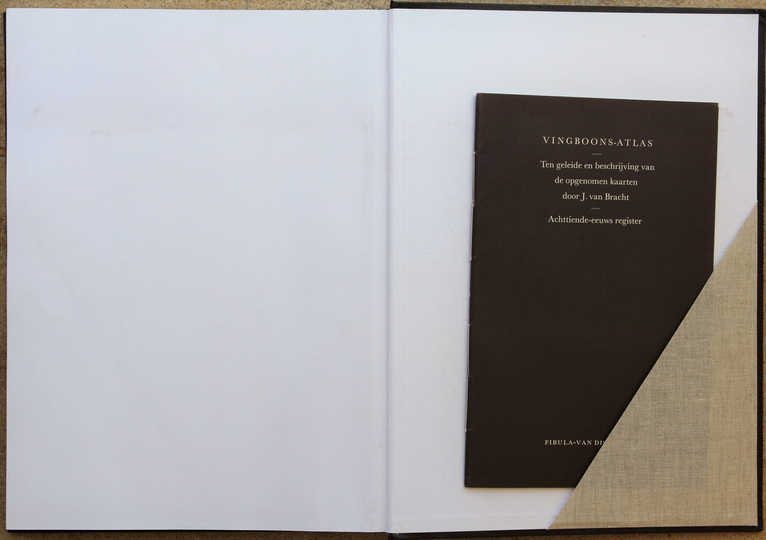
The slip pocket on the back contains a hardcover “Introduction and description of the recorded maps” by J. van Bracht (32 pp), written in Dutch.
Publisher: Fibula – Van Dishoeck (Unieboek) 1981
This item is sold
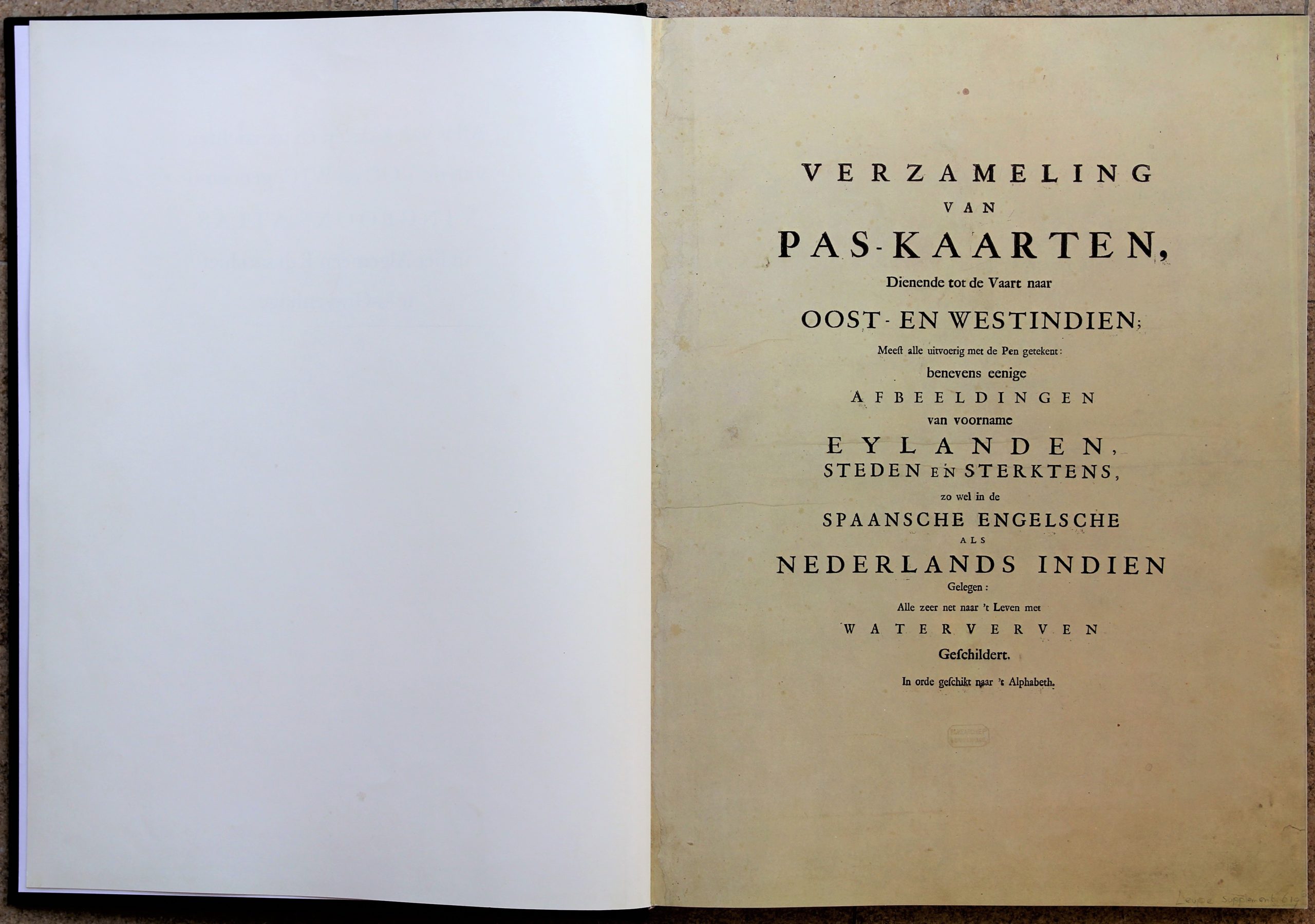
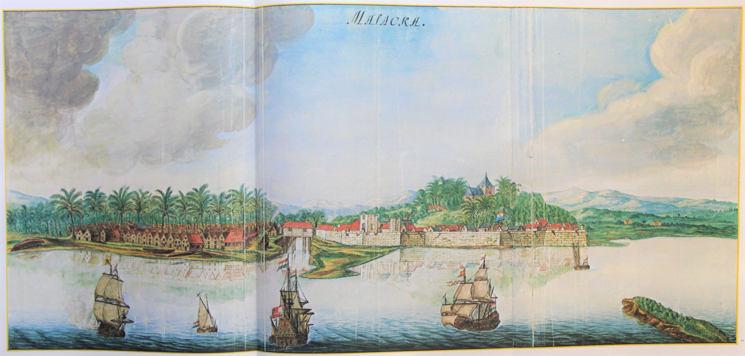
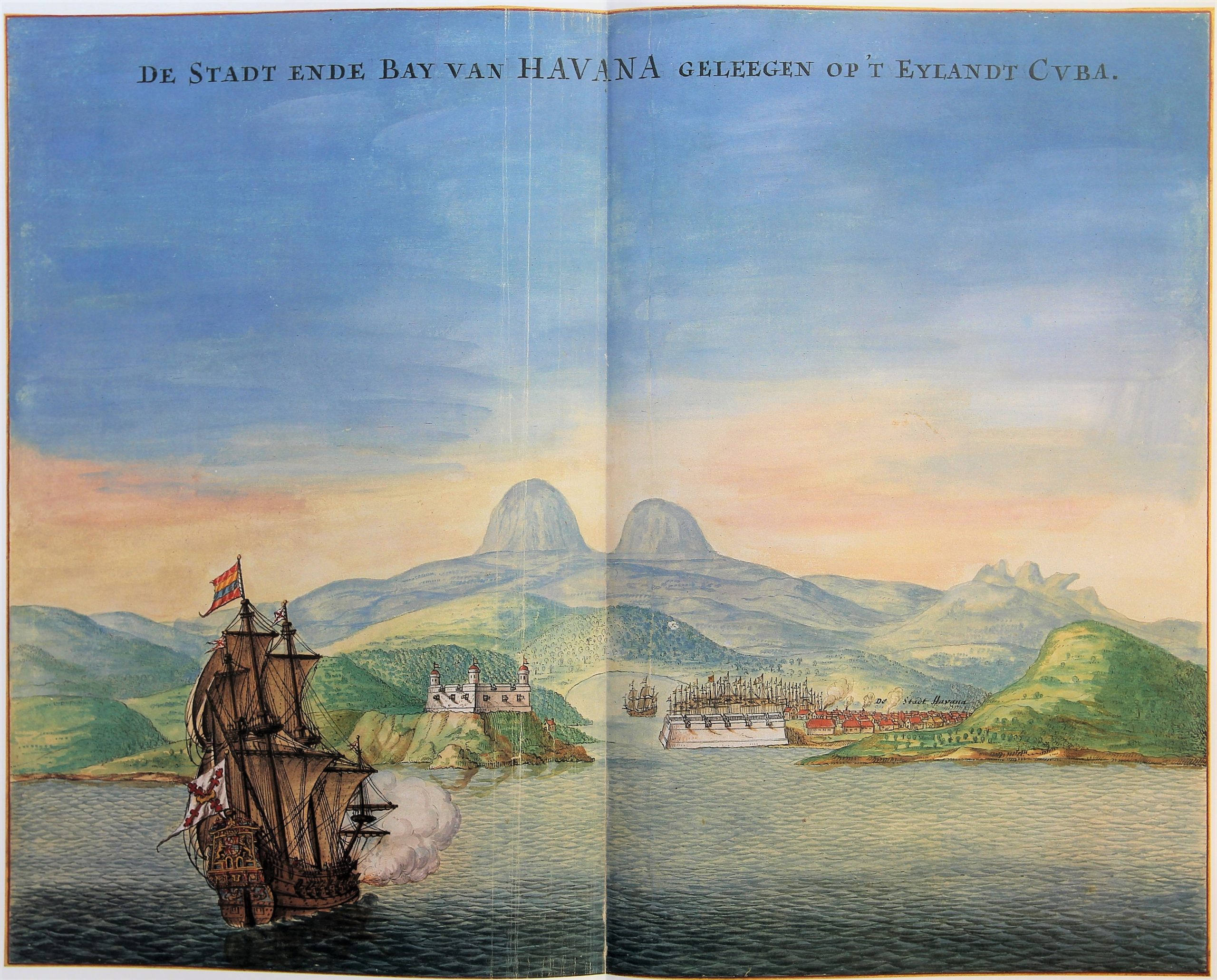
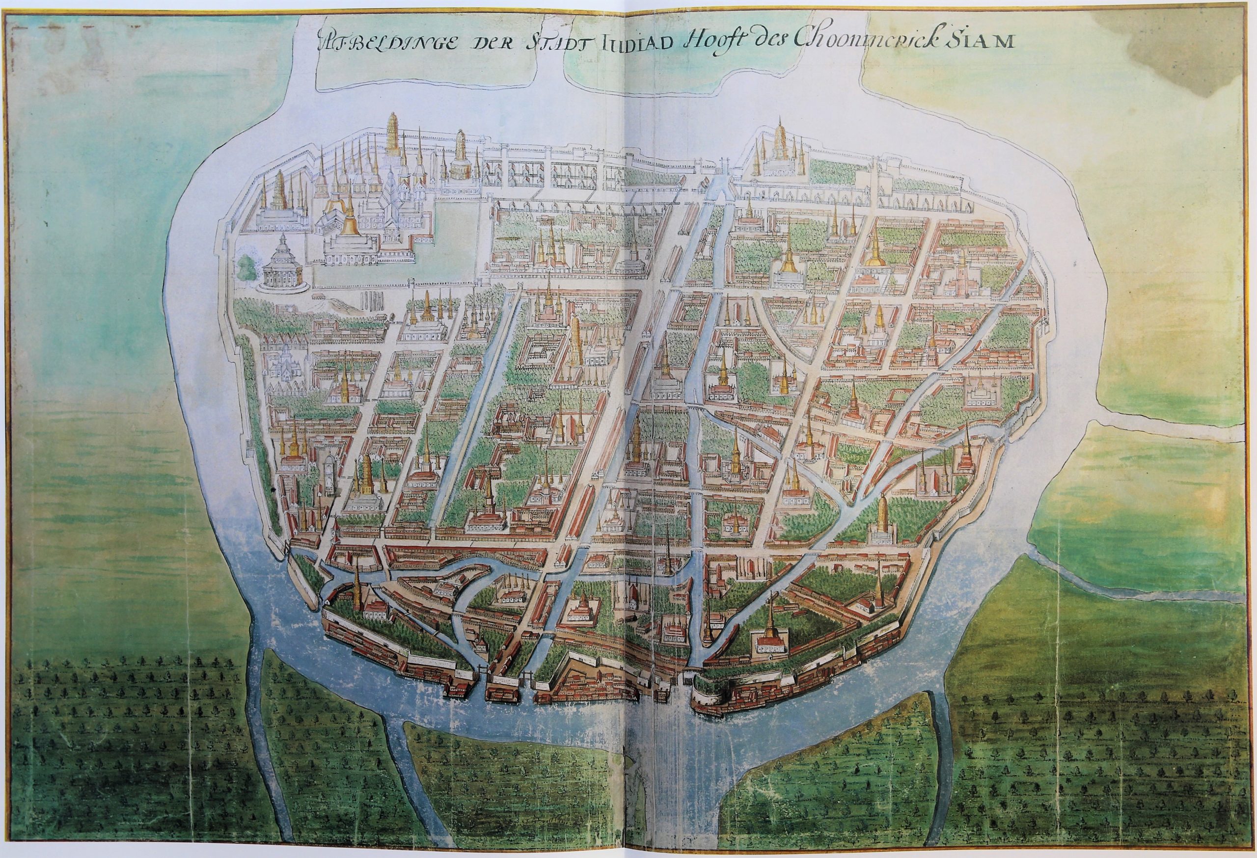
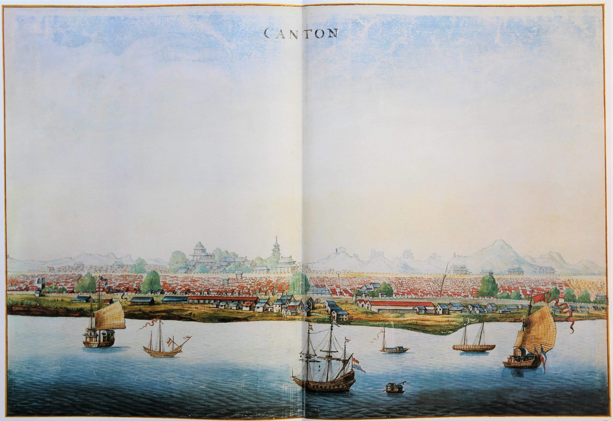
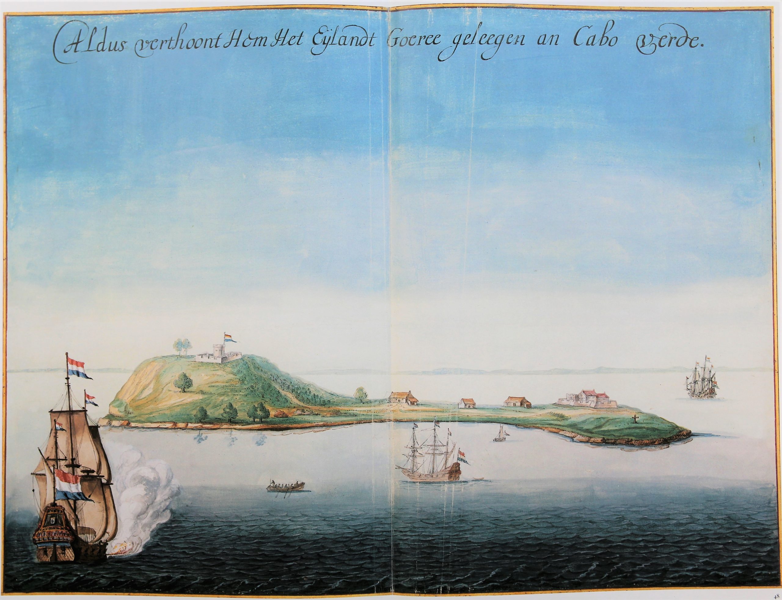
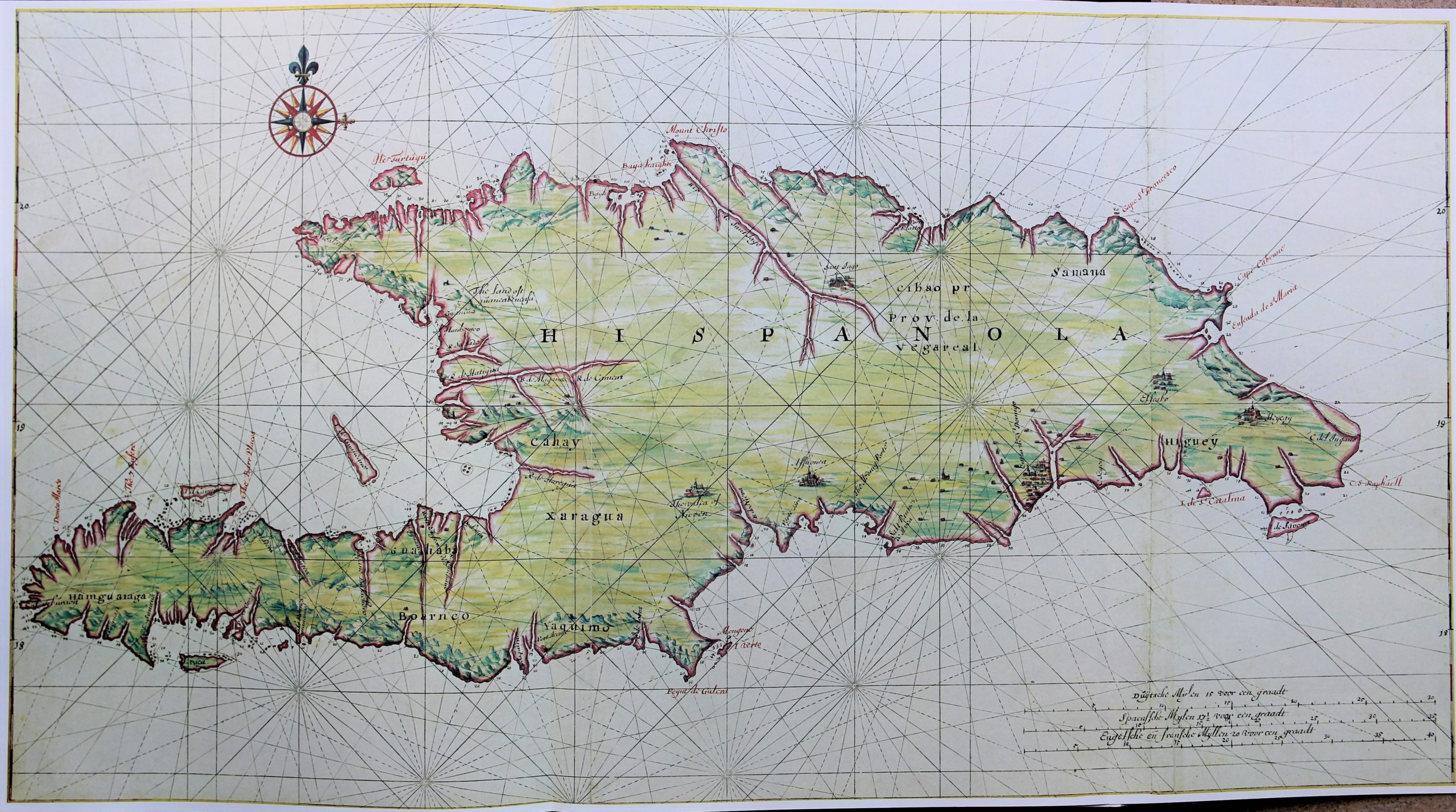
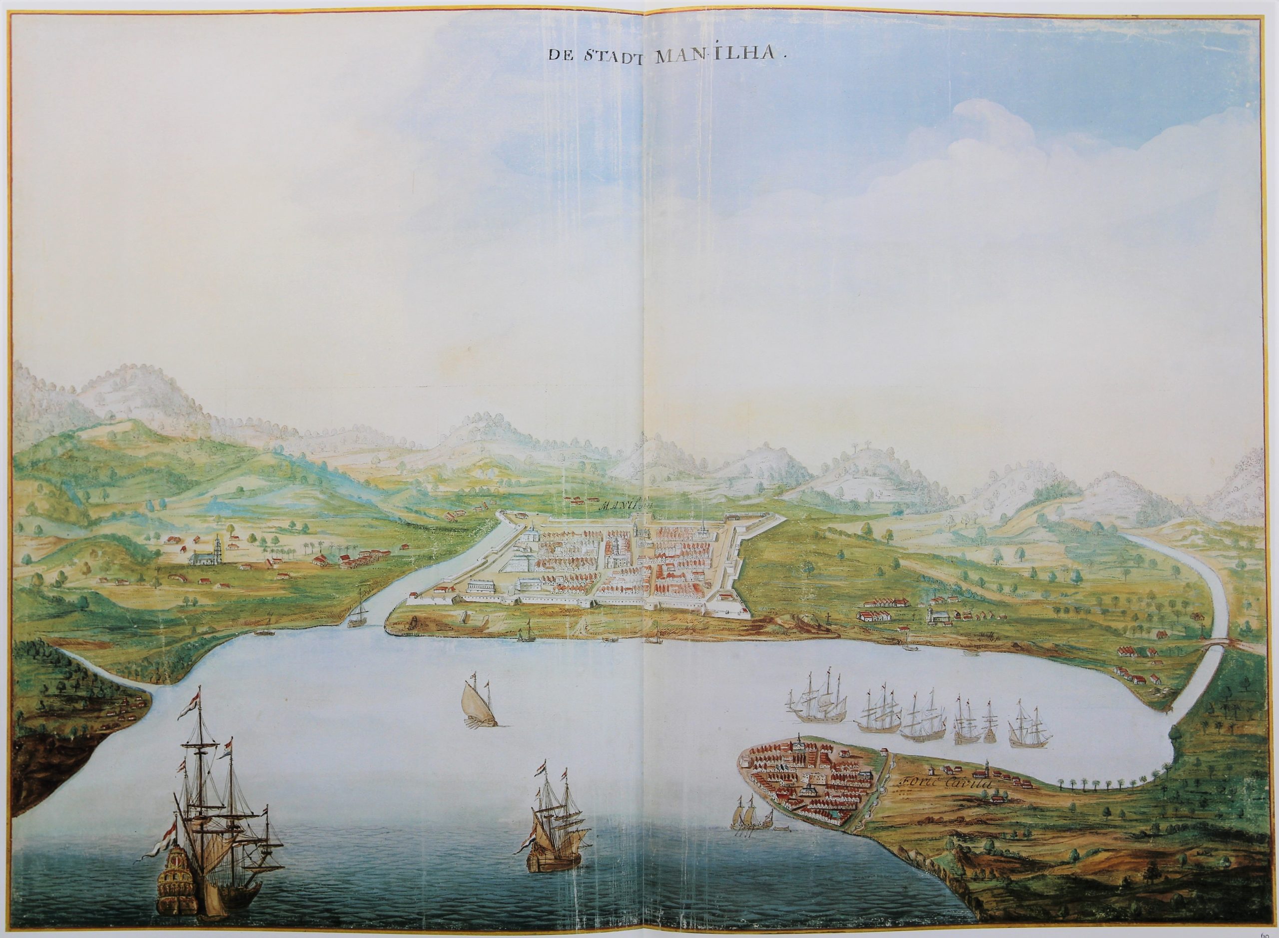
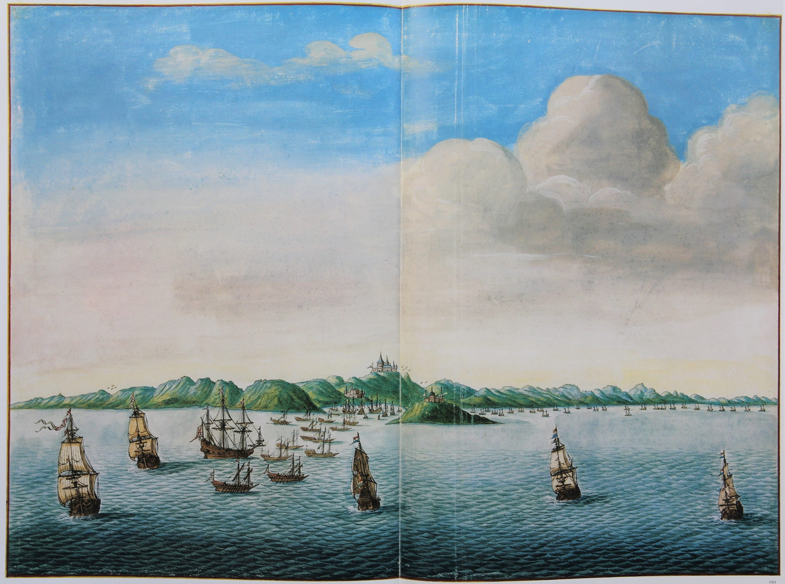
The genesis and whereabouts of the Vingboons’s Atlas
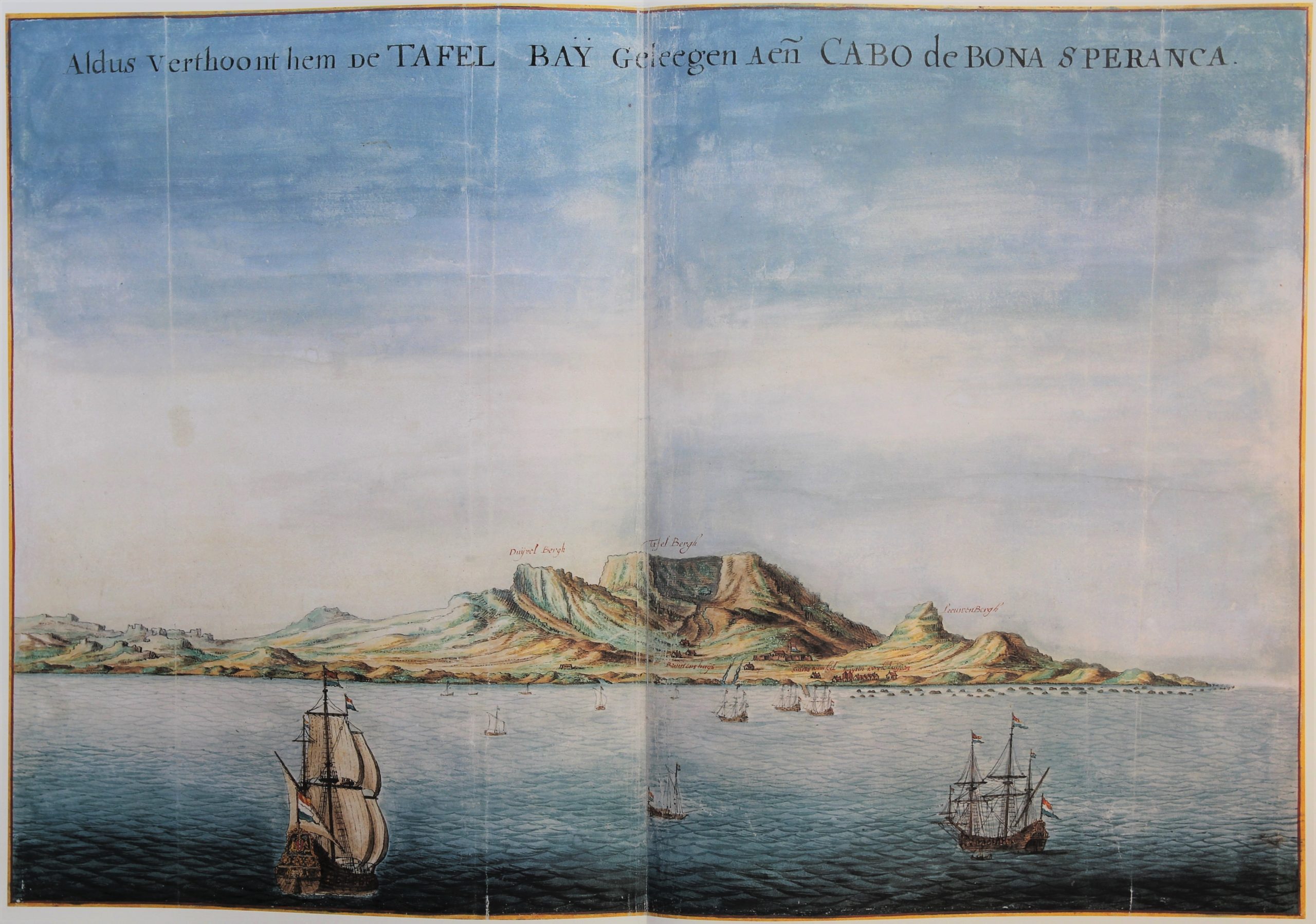
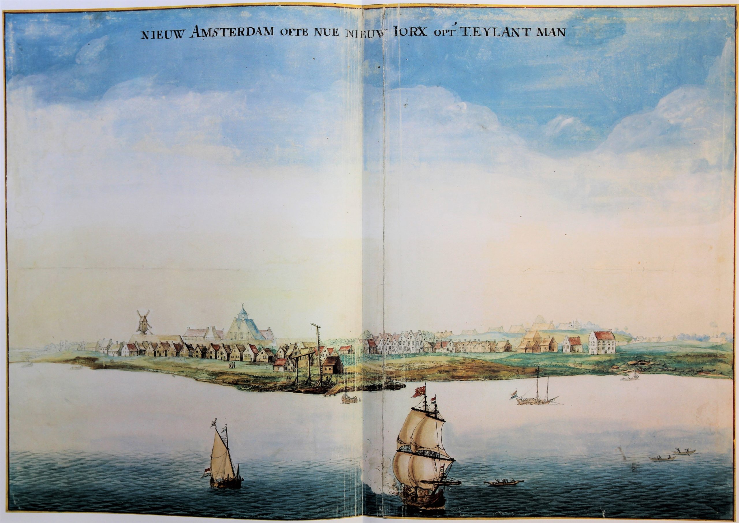
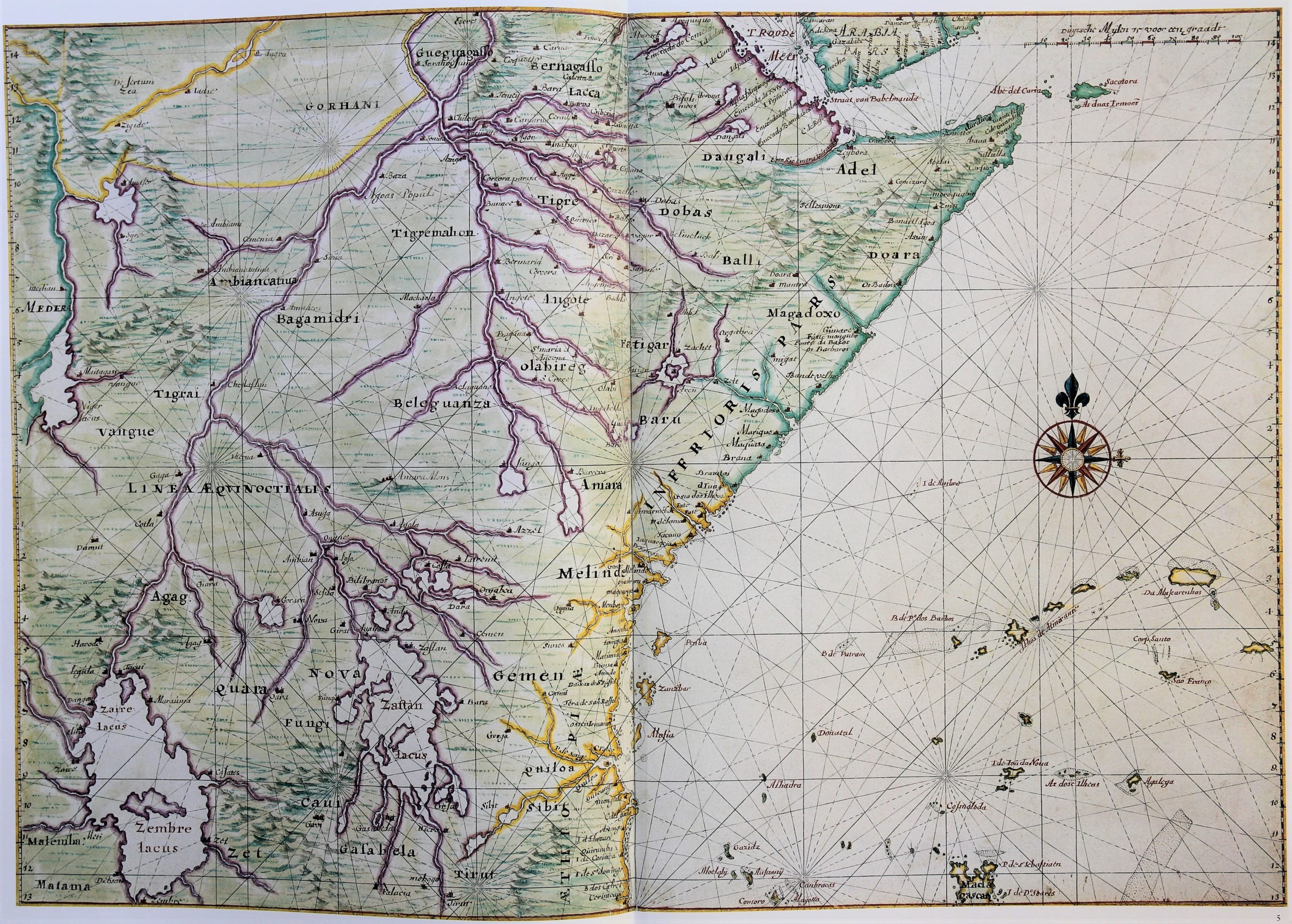
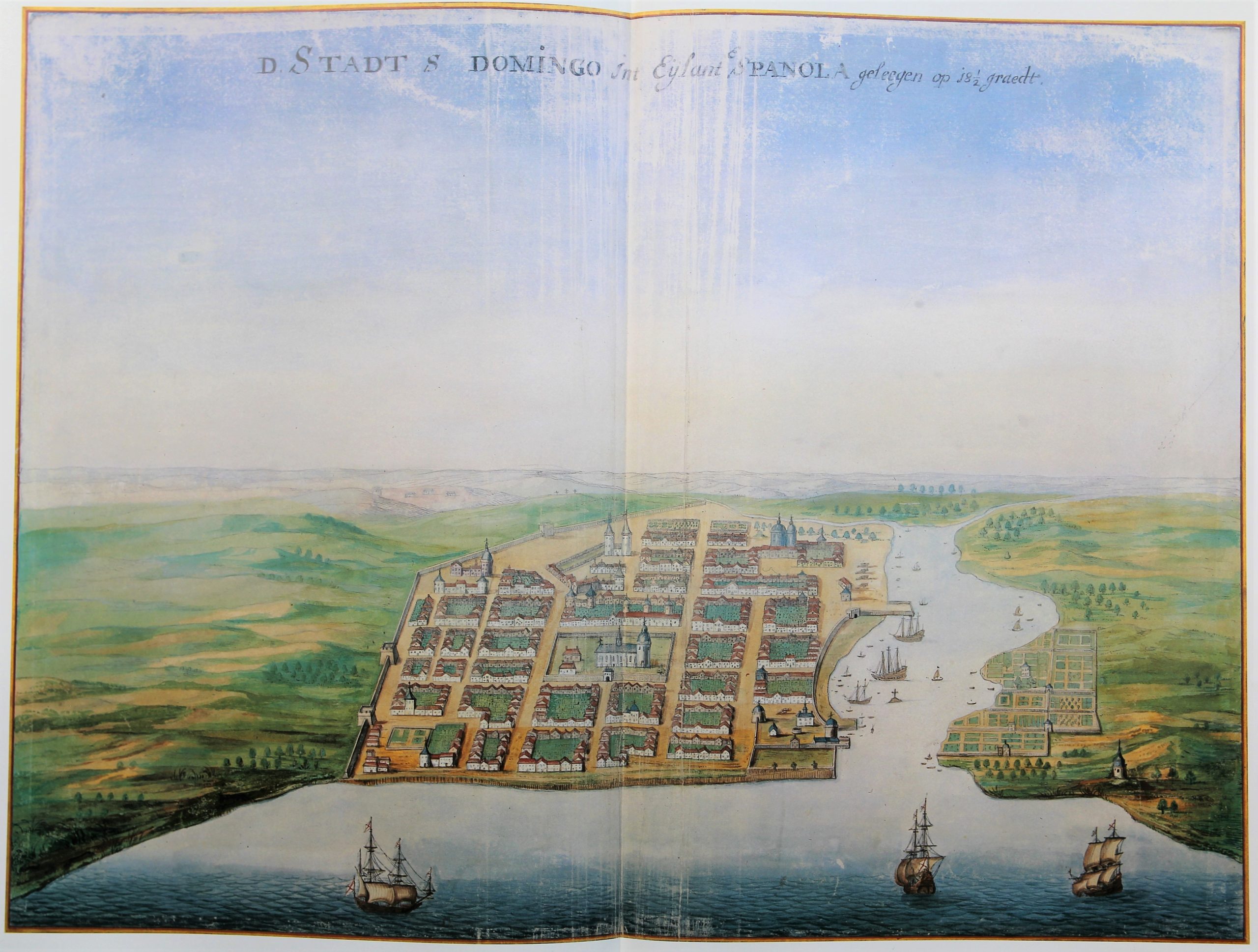
By combining his traditional expertise as a cartographer with his artistic qualities as a watercolourist, he produced water colors of exotic lands based on scrupulous research. These he based on reports and sketches that masters, helmsmen and merchants on their travels under the orders of the VOC and WIC. He made city elevations, plans, coastal profiles and sea charts, combining them until he had produced a unique series of images that gave an accurate image of a large part of the world then known to Dutch trade. For many of these areas, his are the earliest images, for example on Nieuw Amsterdam.
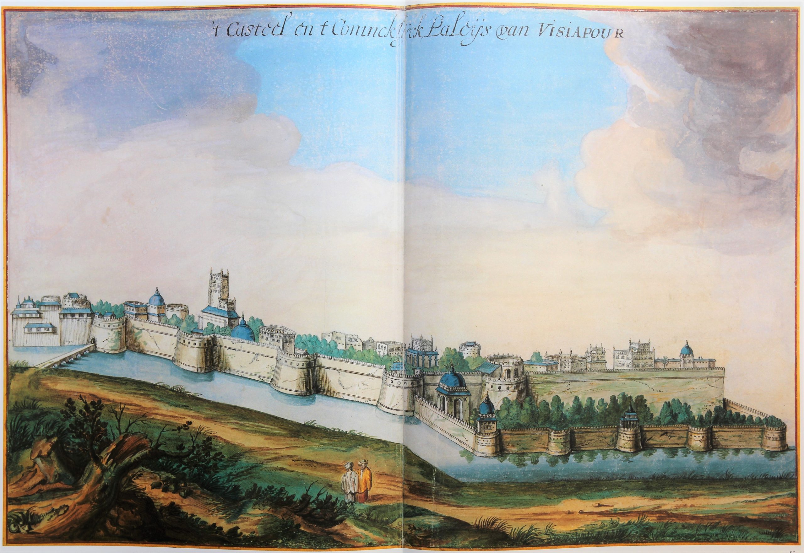
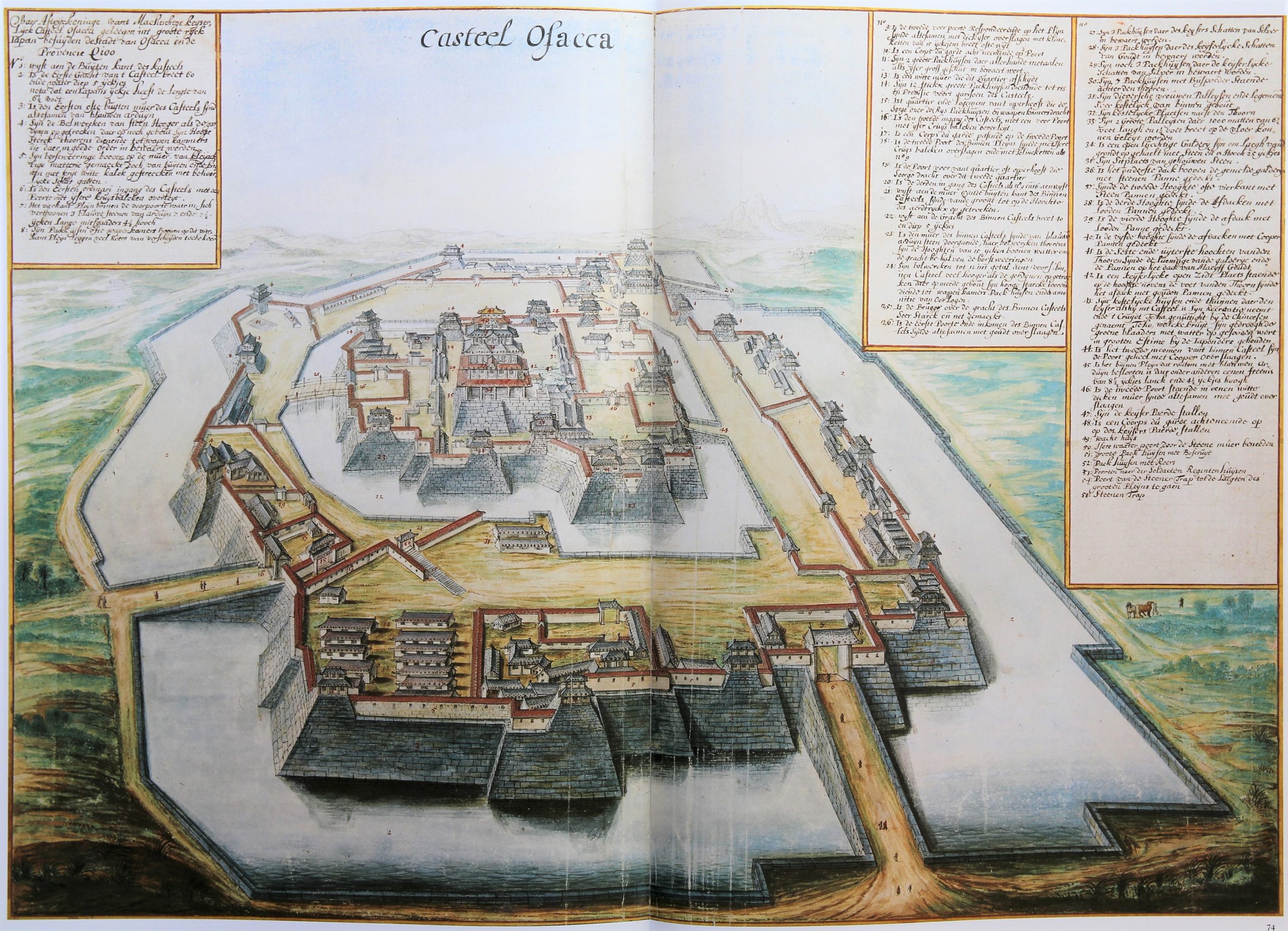
The selected views include (at random):
1 Visiapour
2 Osaka
3 Malacca
4 Havanna
5 Ayutthaya (capital of Siam)
6 Canton
7 Cape of Good Hope
8 New York (Nieuw Amsterdam)
9 West coast of Africa
10 Santo Domingo
11 Cabo Verde
12 Hispaniola
13 Manilla
14 Goa Bay
15 Colombo
16 Angra on Teceira (Azores)