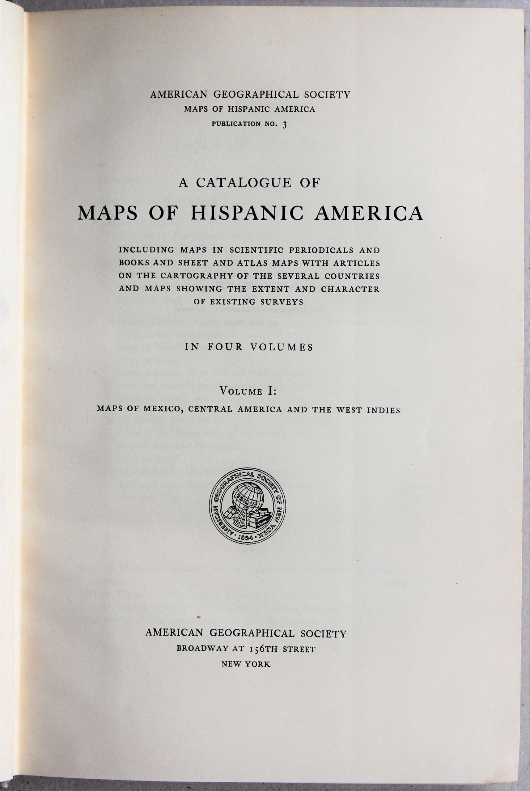
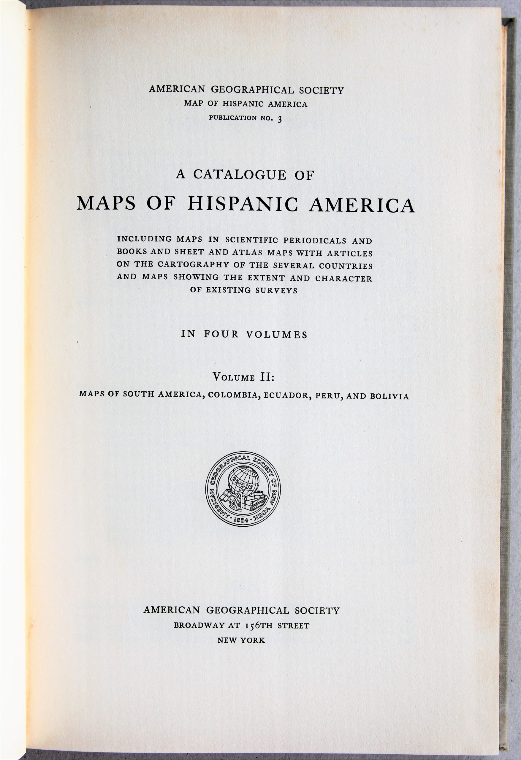
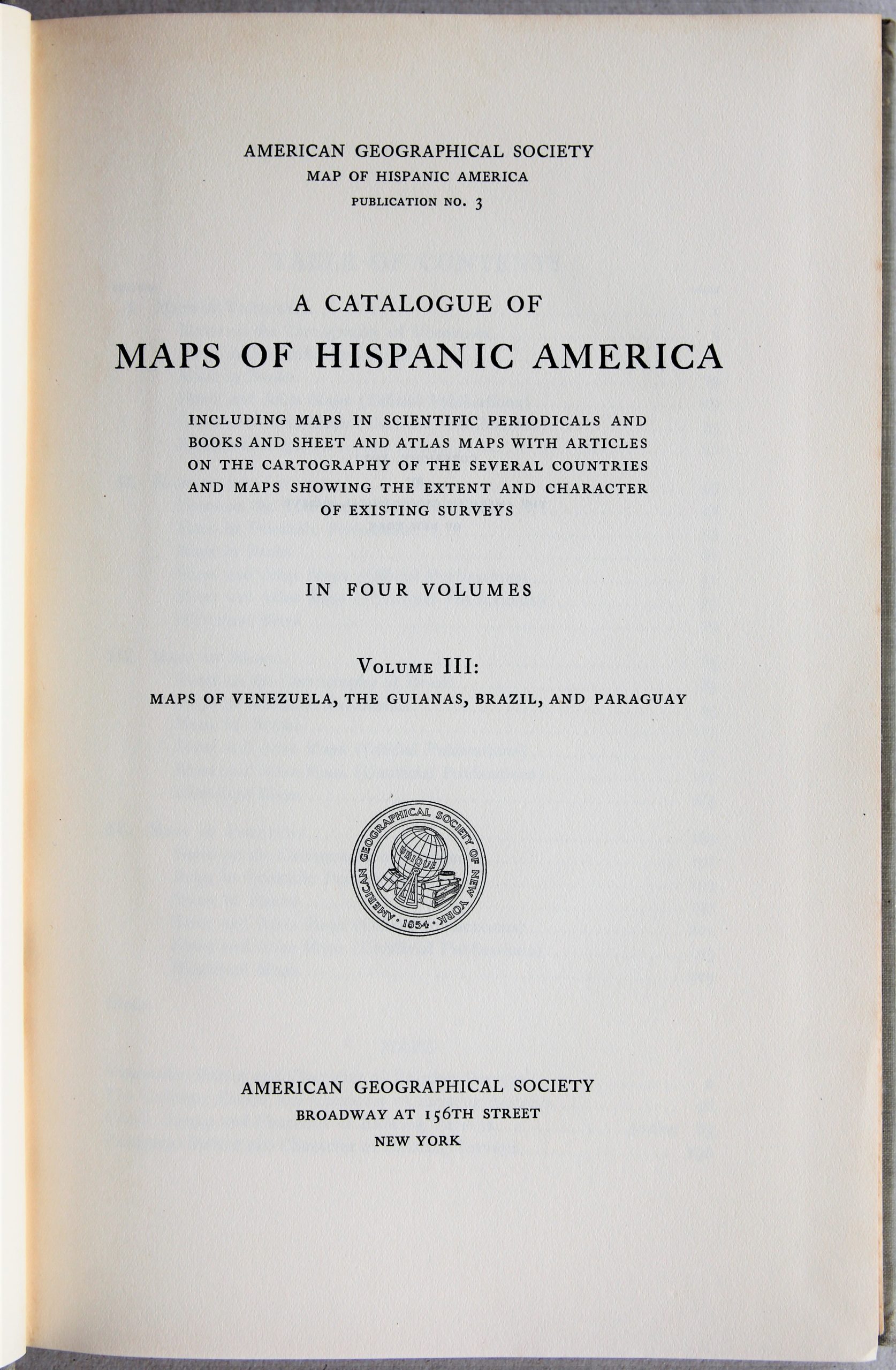
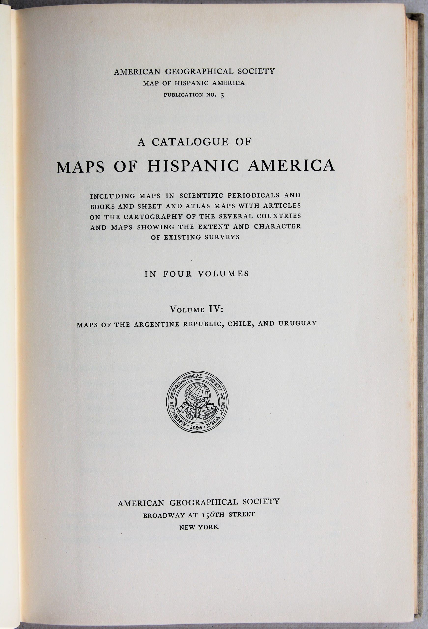
Catalogue of Maps of Hispanic America
A basic reference work an collector’s item
Detail
Publisher: American Geographical Society, New York
Publication dates:
Part 1: 1930
Part 2: 1932
Part 3: 1933
Part 4: 1932
Dimensions: per part: 26 x 17 cm
Condition A
Text in English
Price (without VAT, possibly to be added): €300,00 (FYI +/- $333,00 / £267,00)
Unless otherwise specifically stated on this map page, we charge the following expedition costs in euro (unfortunatelly, gone up with Covid, but still too low in reality!):
– Benelux: 40 euro
– Rest of Europe: 60 euro
– Rest of the World: 100 euro
In stock
Catalogue of Maps of Hispanic America
This complete catalogue or analysis/listing of existing maps as produced by the American Geographical Society in 1930-1933.
Part 1: Mexico, Central America, West Indies
Part 2: South America, Colombia, Ecuador, Peru, Bolivia
Part 3: Venezuela, Guianas, Brazil, Paraguay
Part 4: Argentine Republic, Chile, Uruguay
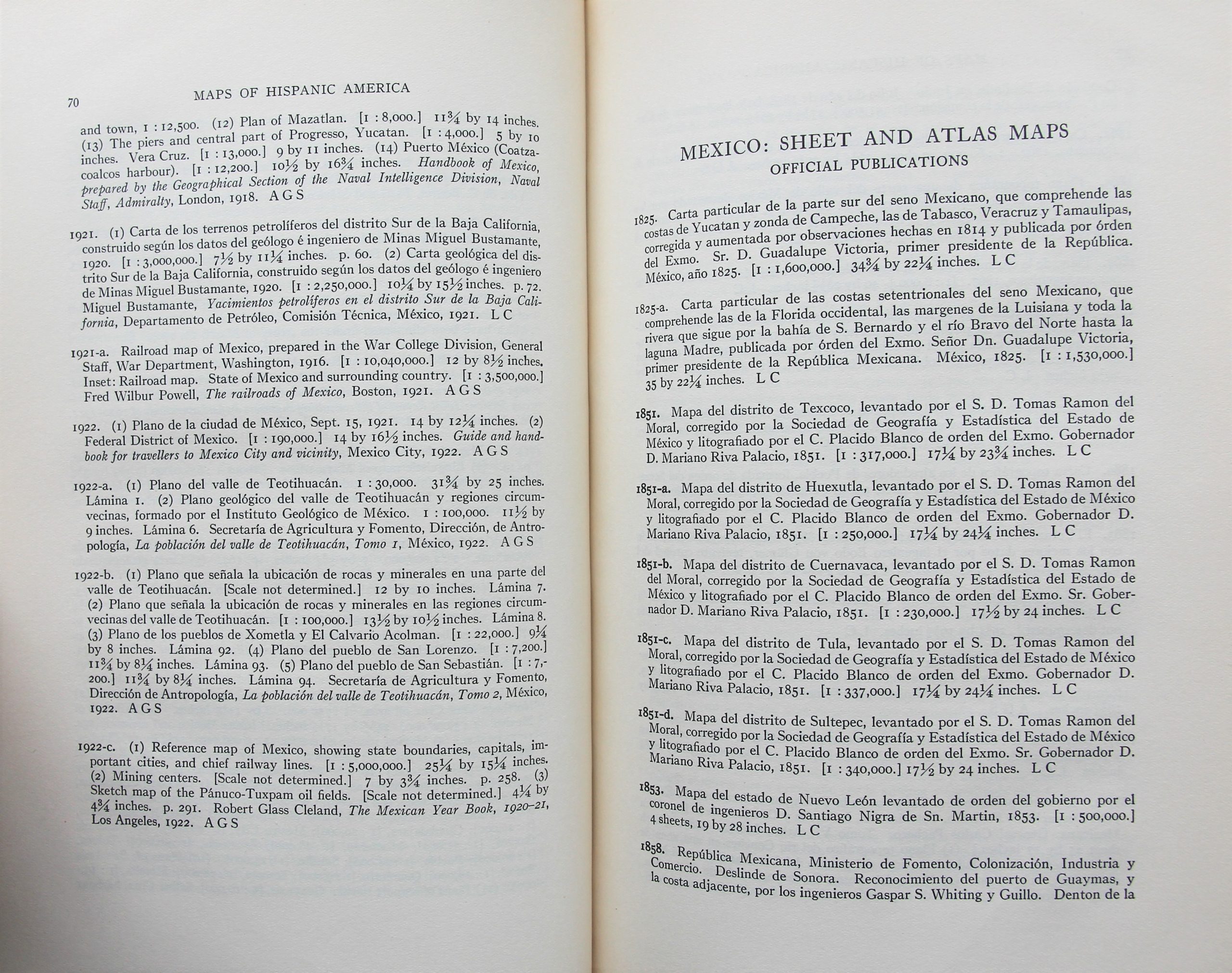
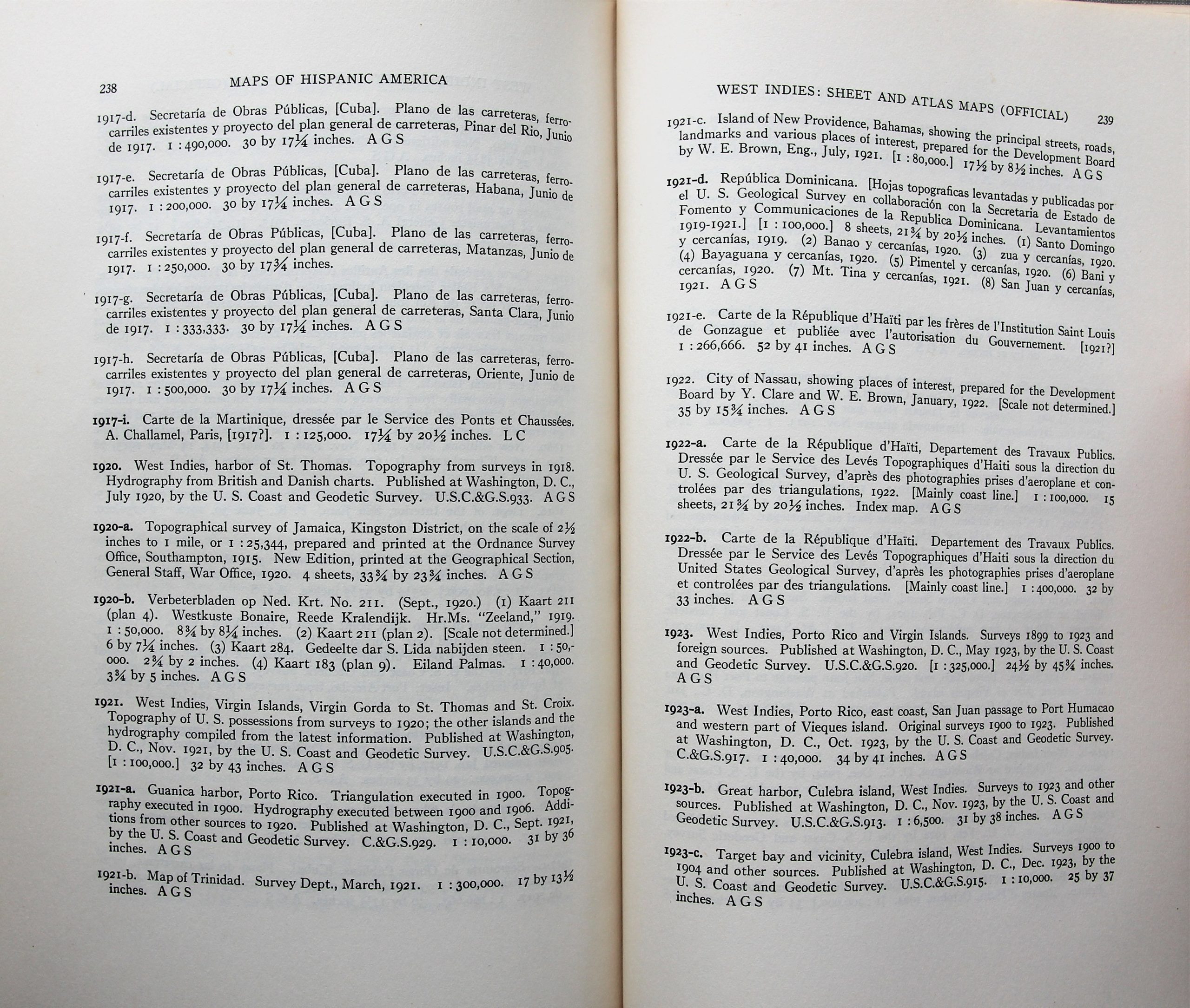
Per country the following information is provided:
- Notes on the cartography of the country
- Maps in scientific periodicals
- Maps in books
- Sheets and atlas maps (official publications)
- Sheets and atlas maps (unofficial publications)
- Historical maps
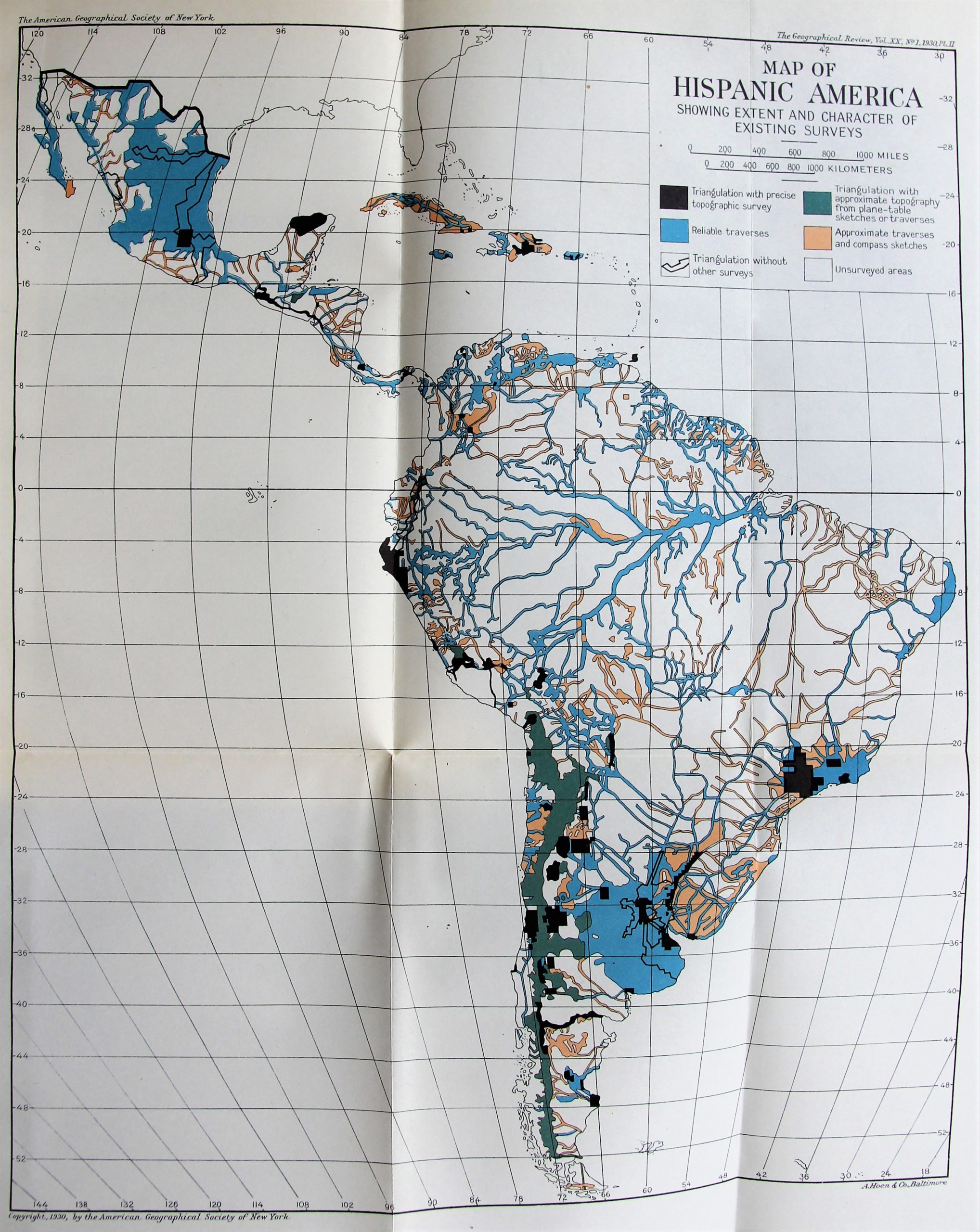
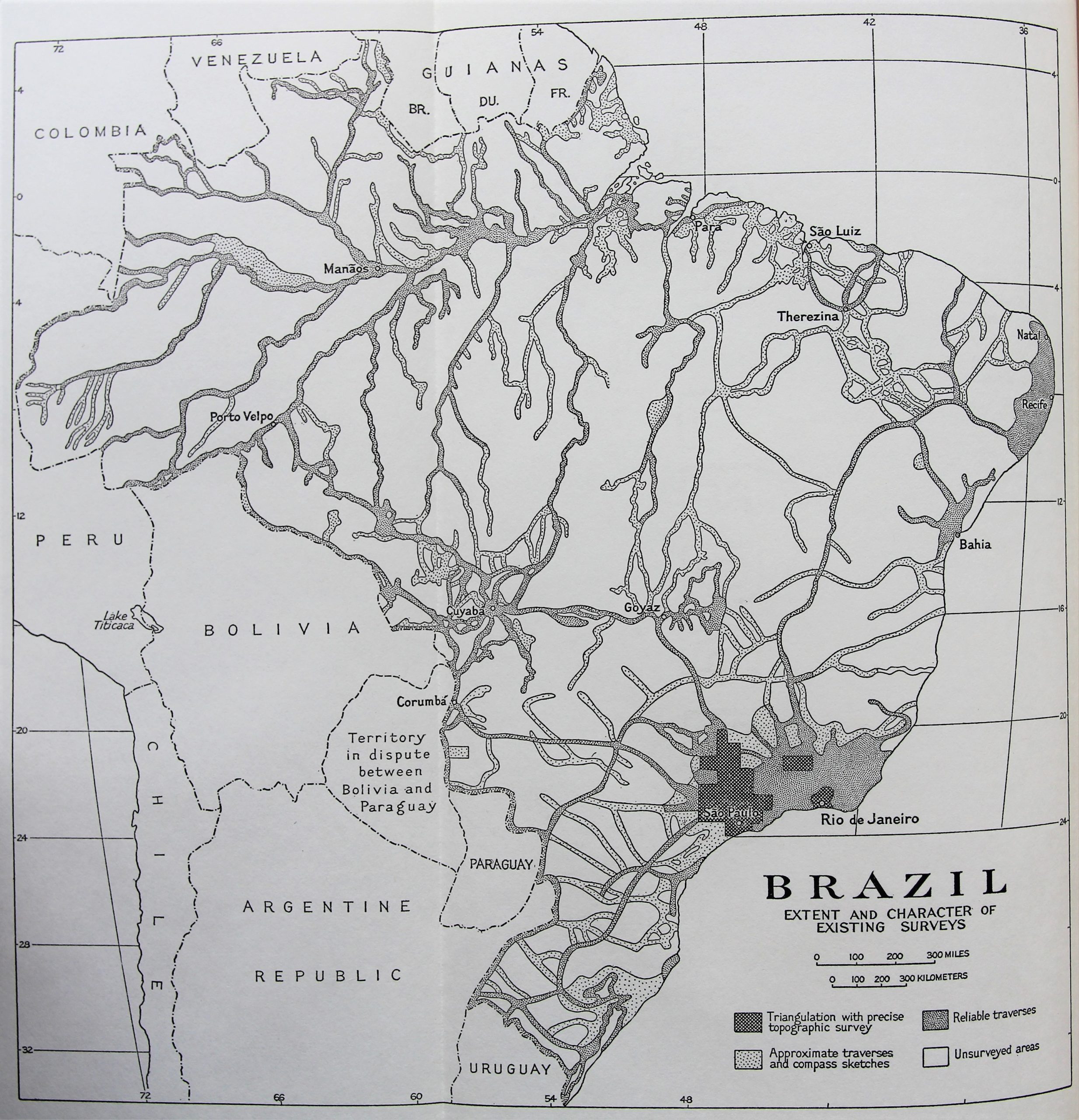
Each part contains a detailed index and a few maps.
Please note that this is not an atlas!

