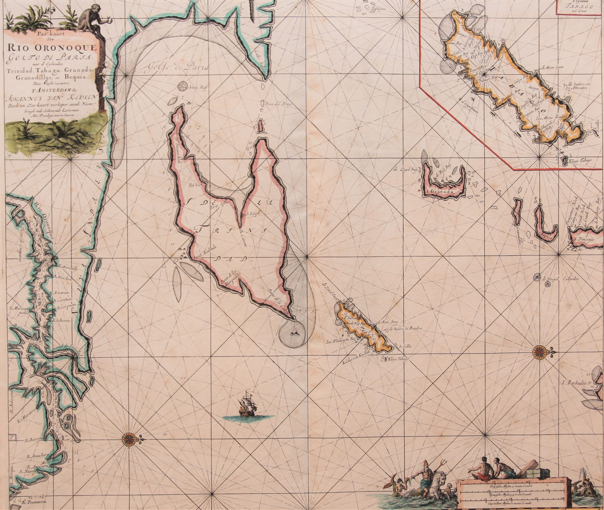
Orinico, Trinidad and Tobago
Rare and superb charting
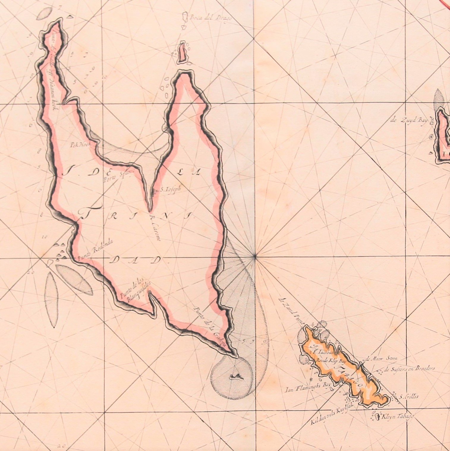
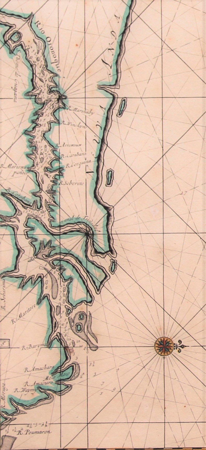
Detail
Date of first edition: 1687
Date of this map: 1687?
Dimensions (not including margins): 51,2 x 58 cm
Dimensions (with margins): 53 x 61,5 cm
Condition: Very Good. Sharp copper impression on strong paper. Wide margins, except top Centrefold as published. Slightly age-toned.
Condition rating: A
Reference: Koe, Keu 120
Verso: blank
From: De Nieuwe Groote Lichtende Zee-Fakkel, … Amsterdam, J. van Keulen
This item is sold
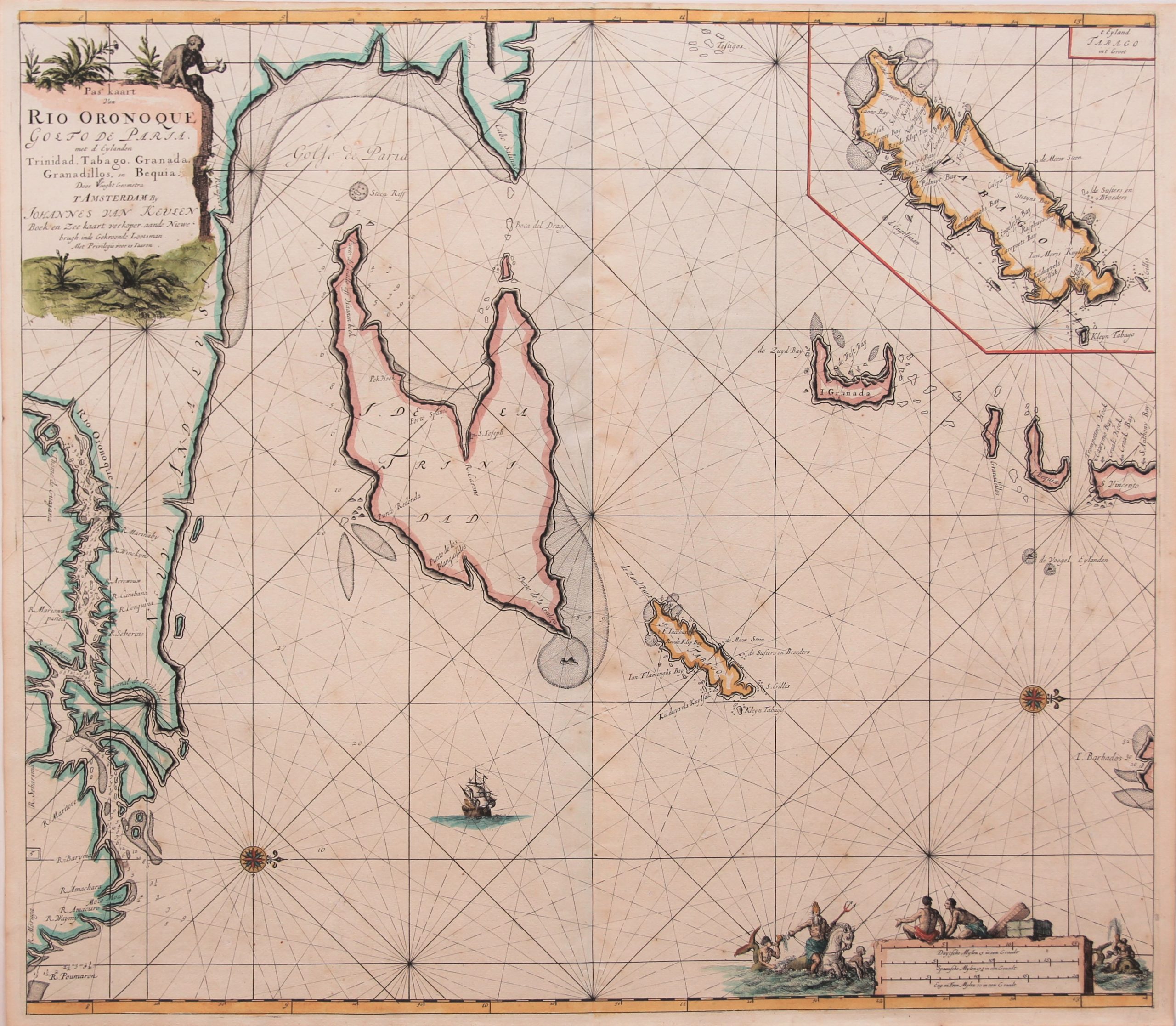
Orinoco, Trinidad and Tobago and the Windward Islands
This handsome chart of the Gulf of Paria delineates the entrance to the Orinoco River and highlights the islands of Trinidad and Tobago. The chart is oriented with north to the right by two compass roses and extends to include St. Vincent and the southern tip of Barbados. An inset at top right shows Tobago on a larger scale. The delightful scale cartouche features Neptune with his entourage and natives with trade goods. The map is further adorned with a monkey atop the title cartouche and a sailing ship.
A superb charting of the mouth of the Orinoco.
And also: where do you find such a detailed map of… Granada?
Original title: Pas Kaart van Rio Oronoque Golfo de Paria, met d’Eylanden Trinidad, Tabago, Granada, Granadillos, en Bequia
