Barcelona
by
M. Le Marquis de Quincy
Detail
Date of this view: ca. 1726
Dimensions (not including margins): 20,5 x 27 cm
Dimensions (including margins): 27,5 x 36,5 cm
Condition: excellent. Copper engraving on strong paper. Old colouring. Wide margins.
Condition rating: A+
Verso: blank
From: Histoire Militaire du regne de Louis Le Grand, Roy de France, où l’on trouve un détail de toutes les batailles, sieges, combats particuliers & generalement de toutes les actions de guerre
Unless otherwise specifically stated on this map page, we charge the following expedition costs in euro (unfortunatelly, gone up with Covid, but still too low in reality!):
– Benelux: 40 euro
– Rest of Europe: 60 euro
– Rest of the World: 100 euro
This item is sold
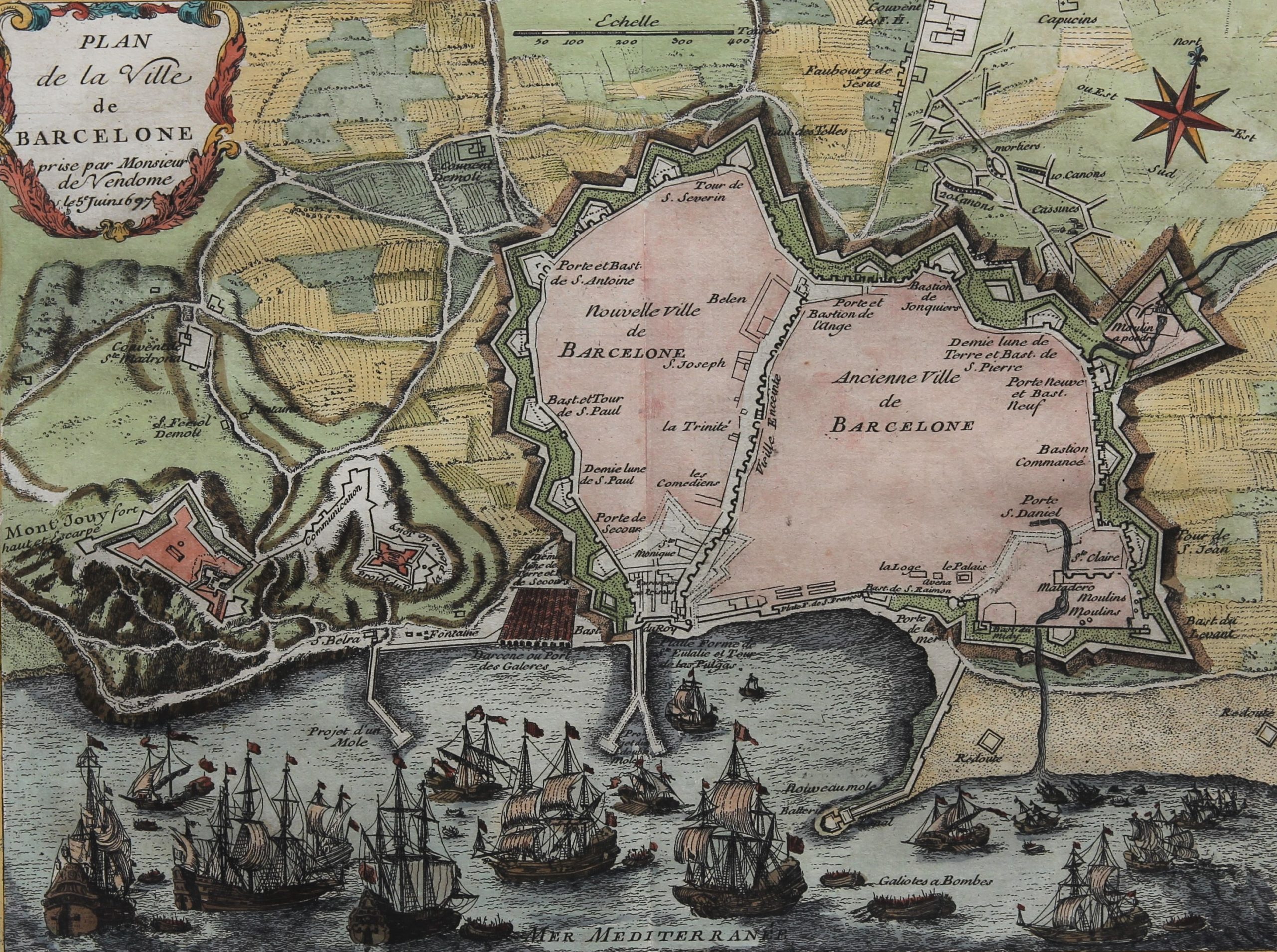
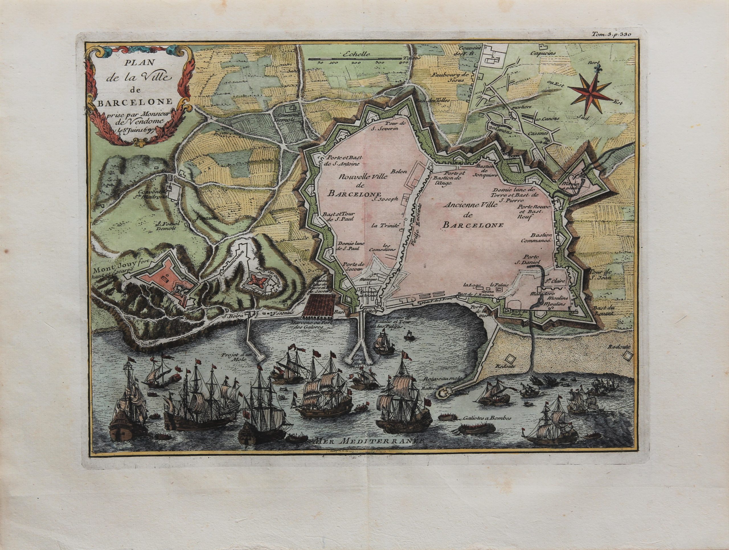

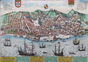
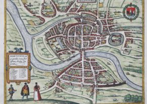
Barcelona, military map
During the last quarter of the 17th century the cartographic production center gradually moved to France; which nor surprisingly, witnessed at that moment a political climax under Louis XIV (1638-1715). Following advice from Colbert in 1666 he founded the Académie des Sciences on a general scientific center (including geography) to serve the national interests. The French rulers attached a national interest in updating their geographical knowledge. The geography department directed its interest in all areas and cities that from a military standpoint were important to the kingdom. A vast collection of maps was produced under royal order. These maps are quite different from the cityscapes of Braun and Hogenberg and Blaeu, since they exclusively focused on the military strengths and weaknesses of French and foreign regions and cities. The map of Barcelona is no exception to this.
At the same time Vauban made huge plans-reliefs made: map tables (from easy 5×5 meters) in relief focused on the key border towns from a military perspective again. Moreover,
Title: Plan de la ville de Barcelone