Cadiz – Gades ab occiduis insulae partibas
Detail
Date of first edition: 1596
Date of this map: 1598
Dimensions (not including margins): 37 x 49 cm
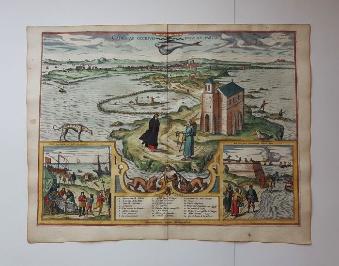
Condition: Excellent. Strong image and strong paper with lovely old original colours and wide margins. Centre fold as published, with very small tear. Two small folds.
Condition rating: A+
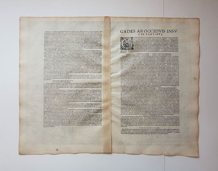
Verso: text in Latin
Map reference: Taschen, Br. Hog., p. 348; Van der Krogt 4, 711; Fauser 2183
From: Civitates Orbis Terrarum, Urbium praecipuarum mundi theatrum quintum, first edition 1596
This item is sold
Description
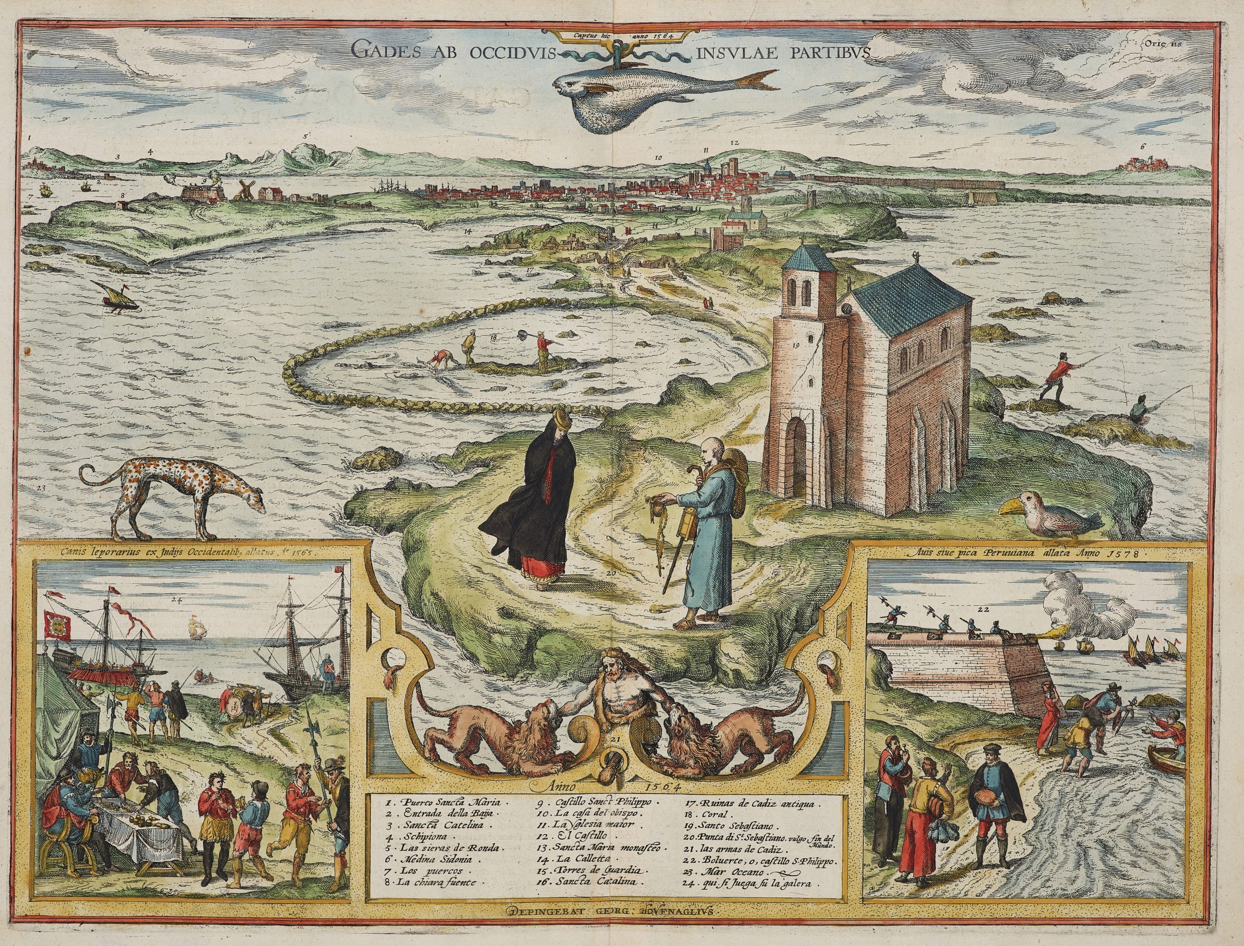
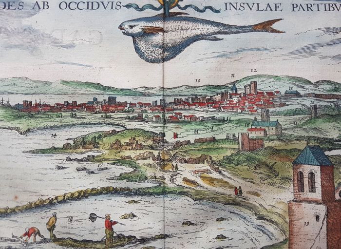
TRANSLATION OF CAPTION: Cadiz, seen from the western parts of the island.
COMMENTARY BY BRAUN (on verso): “Here can be seen in particular the skill of the inhabitants of Cadiz at catching fish. They wall off part of the sea with stones and rocks piled on top of each other, so that when the tide goes out they cannot escape and they can be caught very easily, even without a net, with the hands.”
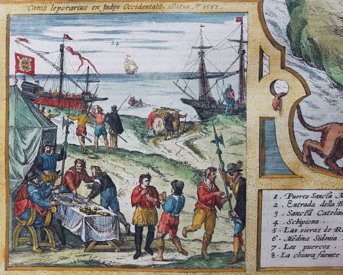
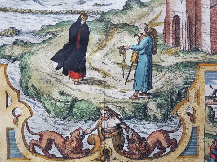
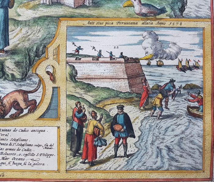
The plate shows Cadiz seen across the narrow peninsula from the Atlantic. In the foreground stands the chapel of St Sebastian. A group of fishermen has been included in order to illustrate the fishing method described in the text. Also visible at the lower edge is the figure of Hercules, the legendary founder of the city, suduing the Nemean Lion – in this instance even two. On the left, as a picture within a picture, Hoefnagel shows crews being enrolled for service on the galleys by the method of casting lots, and subsequently being taken on board. A bastion is included on the right as a symbol of Cadiz’s military importance. (Taschen)
Above the left cartouche a “leopard dog” is shown, brought back from the West Indies in 1565, and above the right cartouche a Peruvian pica brought back in 1578.
At the top of the view a fish caught in Cadiz in 1564.
