Algarve – Andalusia
Rare and superb charting
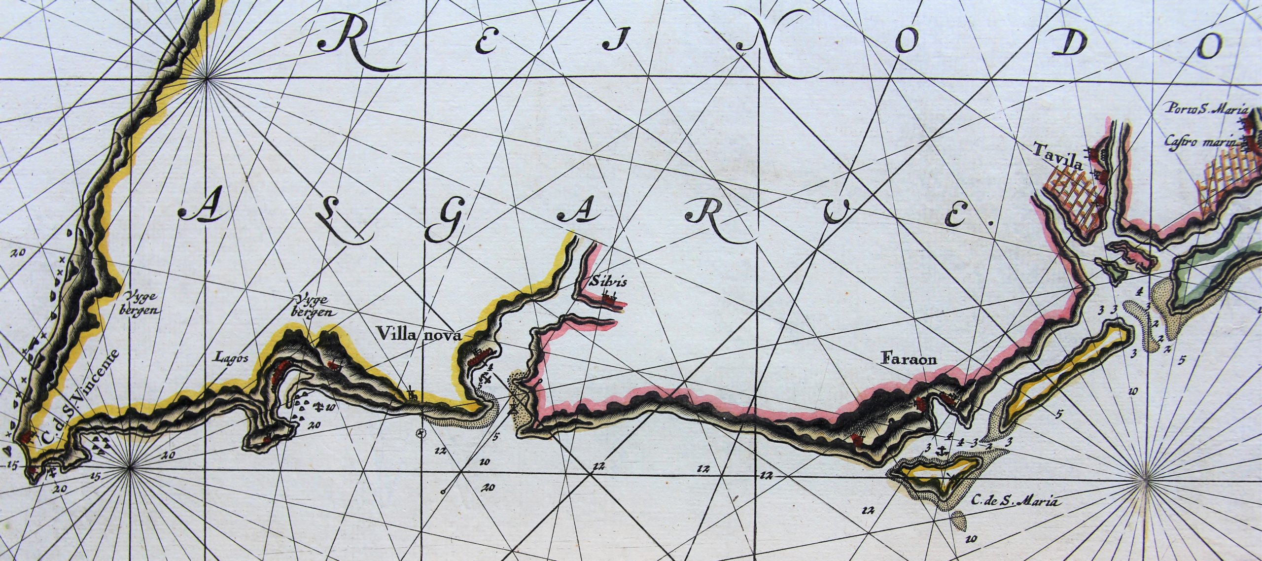
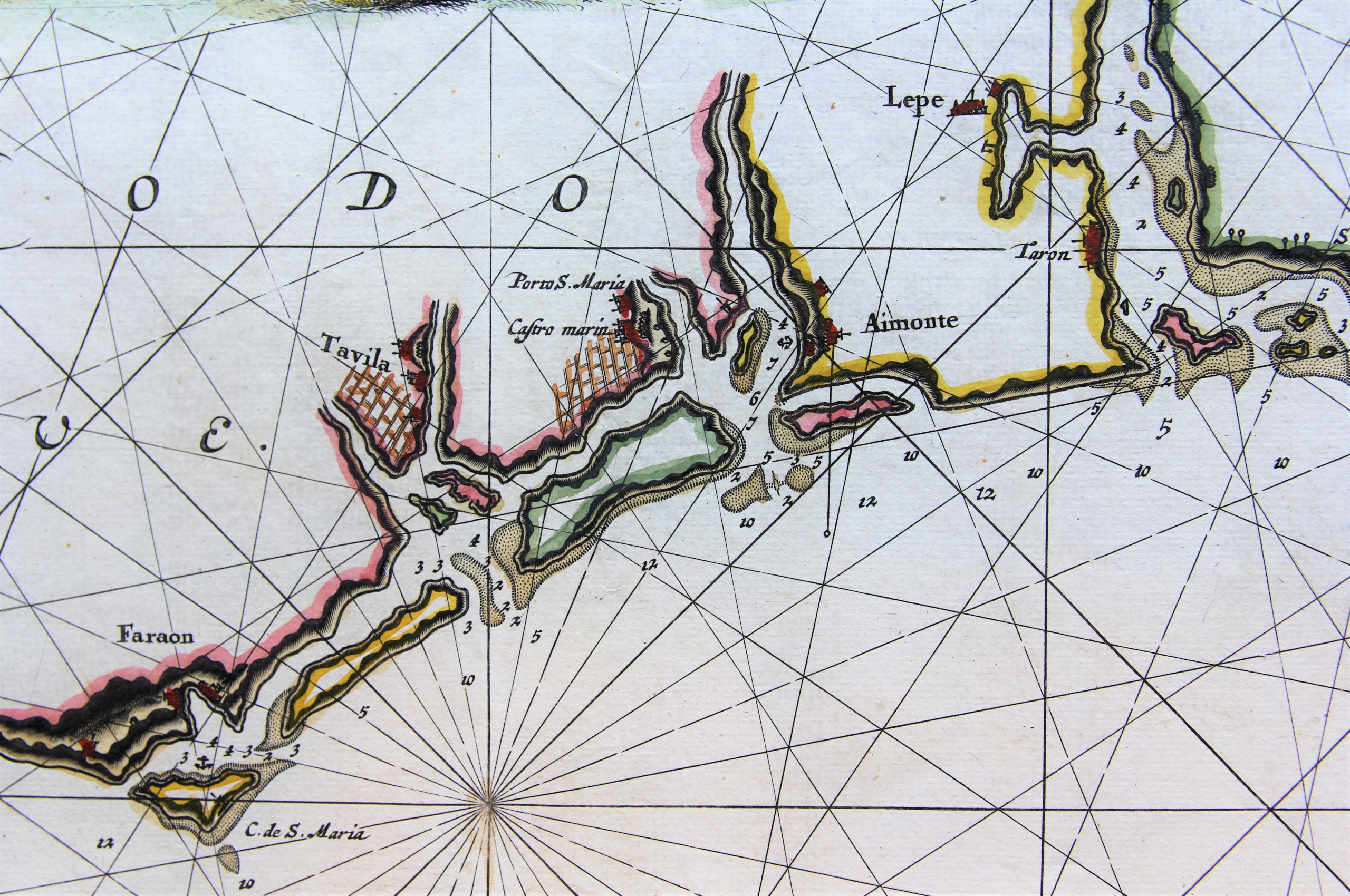
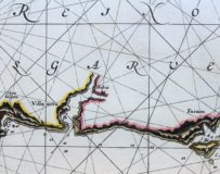
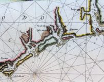
Detail
Date of first edition: 1697 – 1709
Date of this map: 1697 – 1709
Dimensions (not including margins): 50 x 57,5 cm
Dimensions (with margins): 52 x 60,3 cm
Condition: Very Good. Strong copper impression on laid paper with wide.Some small nicks in upper margin. Bottom margin professionally strengthened. Centrefold as published but flattened. Watermark left “AA”. Later colouring.
Condition rating: A+
Verso: blank
From: De Nieuwe Groote Lichtende Zee-Fakkel, … Amsterdam, J. van Keulen, 1681. Numbered: ’29’ bottom right.
In stock
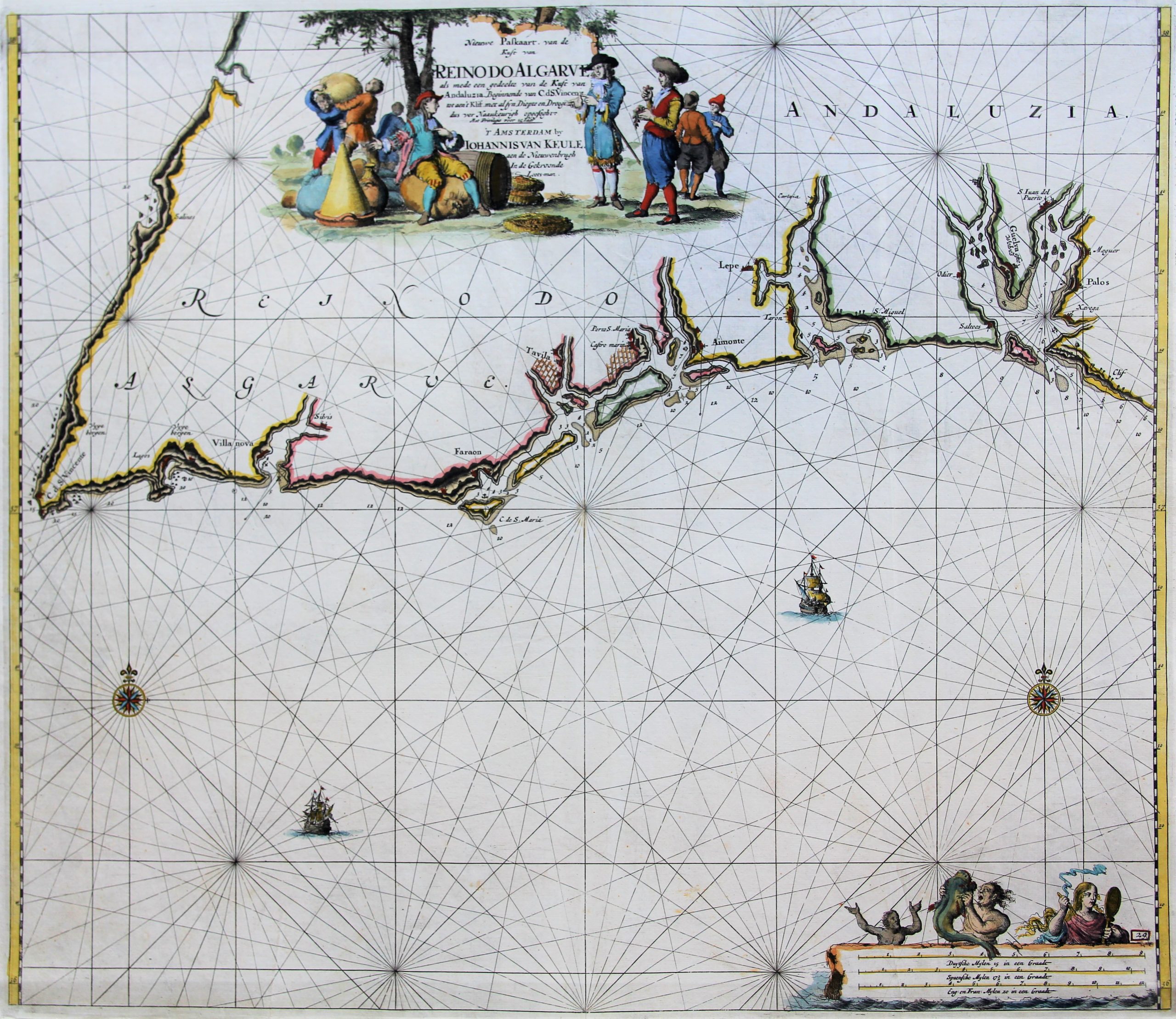
van Keulen shows Algarve and (part of) Andalusia
This chart shows the coastline from S. Vincente to Huelva. Andalusia starts at Aimonte (today Ayamonte).
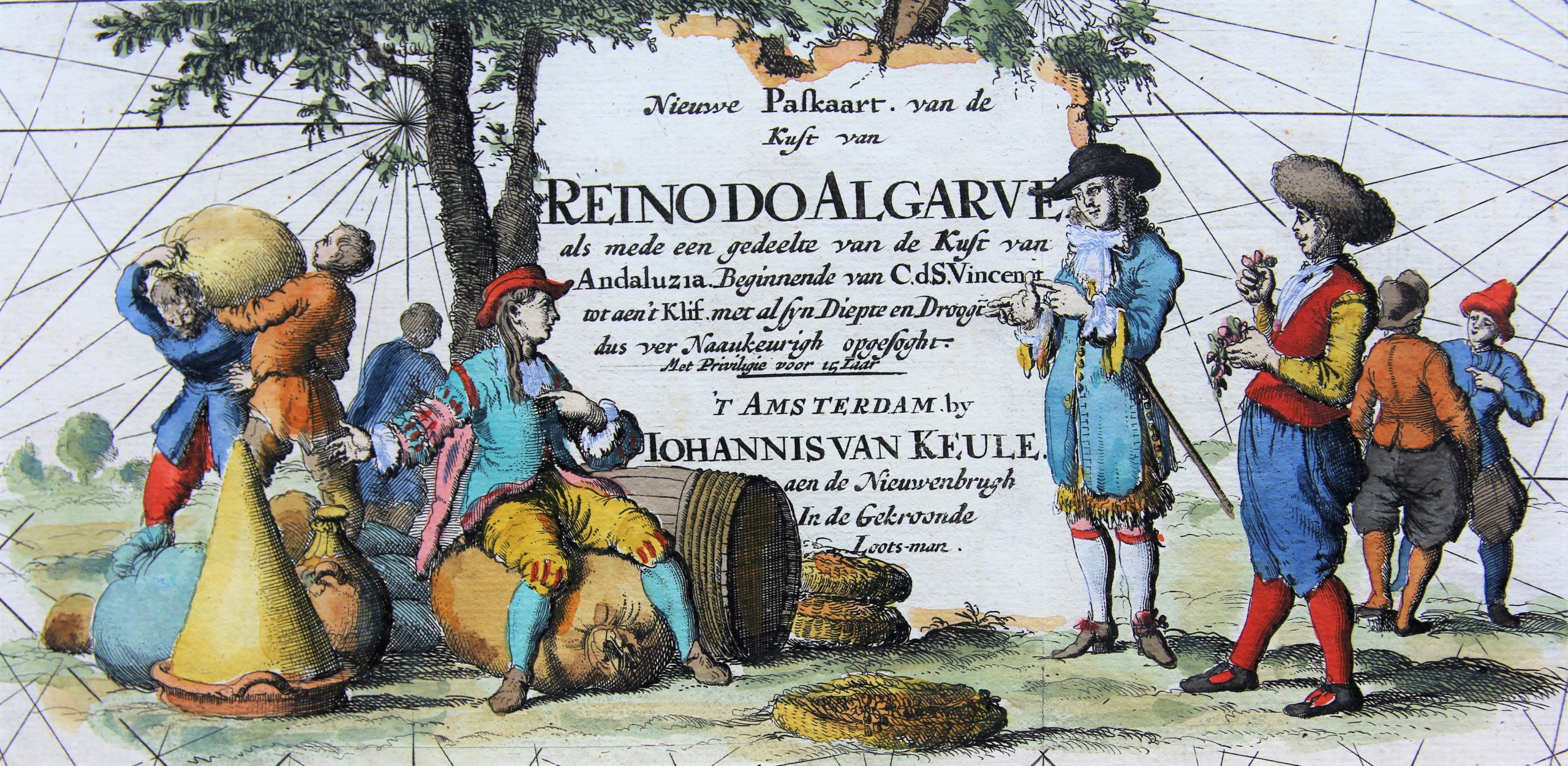
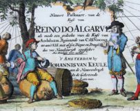
Full title: ‘Nieuwe Paskaart, van de Kuste van Reino Do Algarve als mede een gedeelte van de Kust van Andaluzia. Beginnende van C.d.S. Vincent tot aen ‘t Klif met al sijn Diepte en Droogt, dus ver Naaukeurigh opgesoght’.
A lovely cartouche top centre, depicting tradesmen bargaining over goods. With impressum: ”T Amsterdam by Johannis van Keule …’
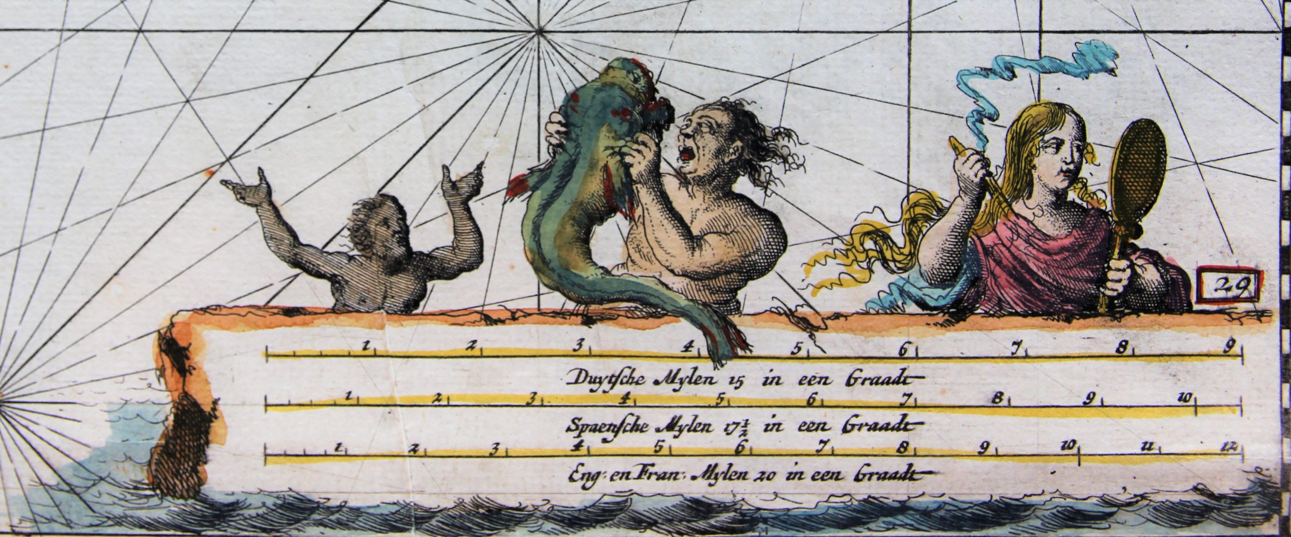
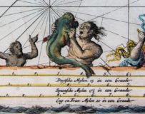
A second cartouche bottom right with three mile scales: German, Spanish and English miles.
Sailing ships at sea and two compass roses complete this chart
Reino do Algarve
The Kingdom of Algarve, was a nominal kingdom within the KIngdom of Portugal.
Supposedly a kingdom apart from Portugal, though in fact the Algarvian kingdom had no institutions, special privileges, or autonomy. In actuality, it was just an honorific title for the Algarve based on its history and was very similar to the rest of the Portuguese provinces.
