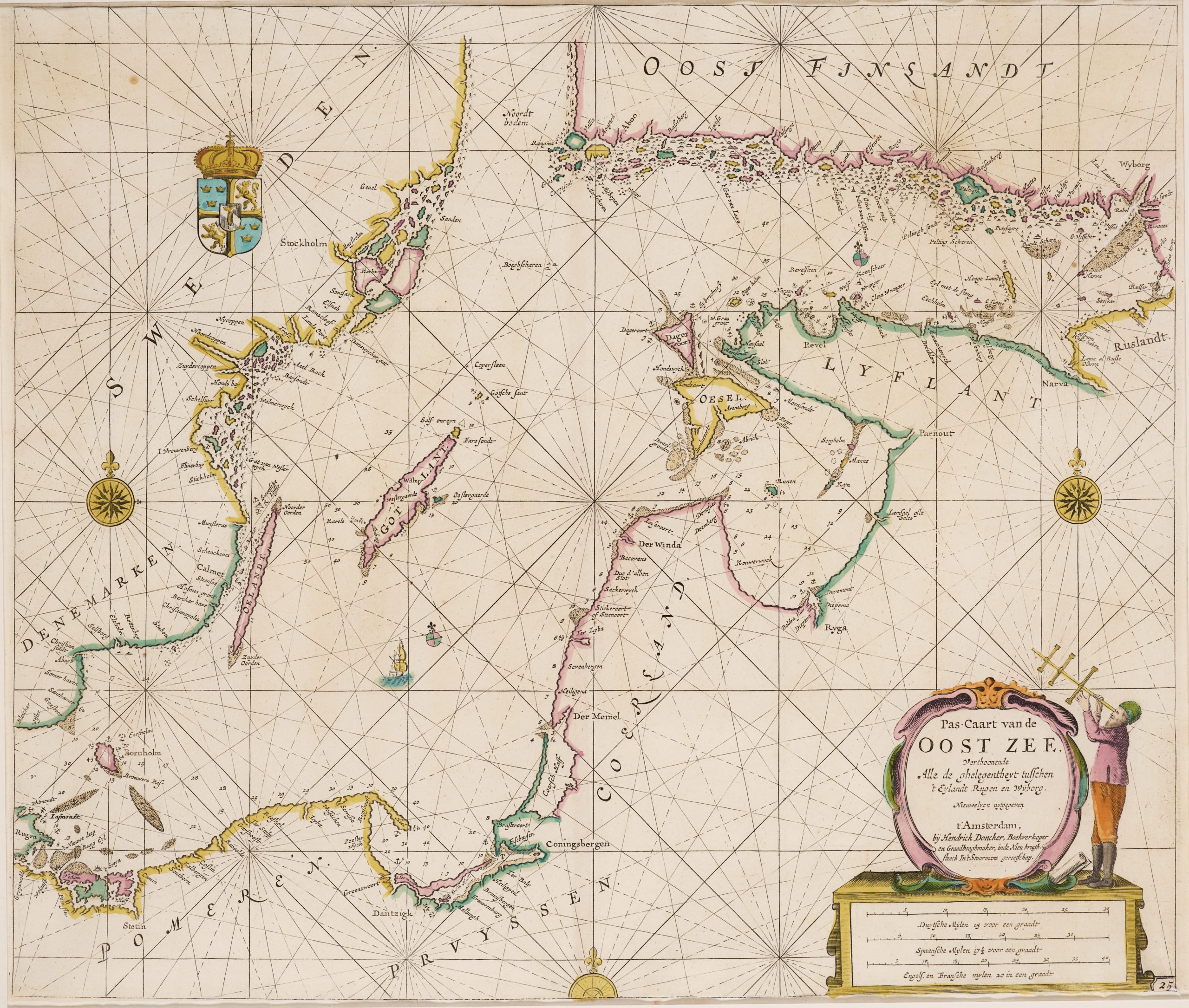
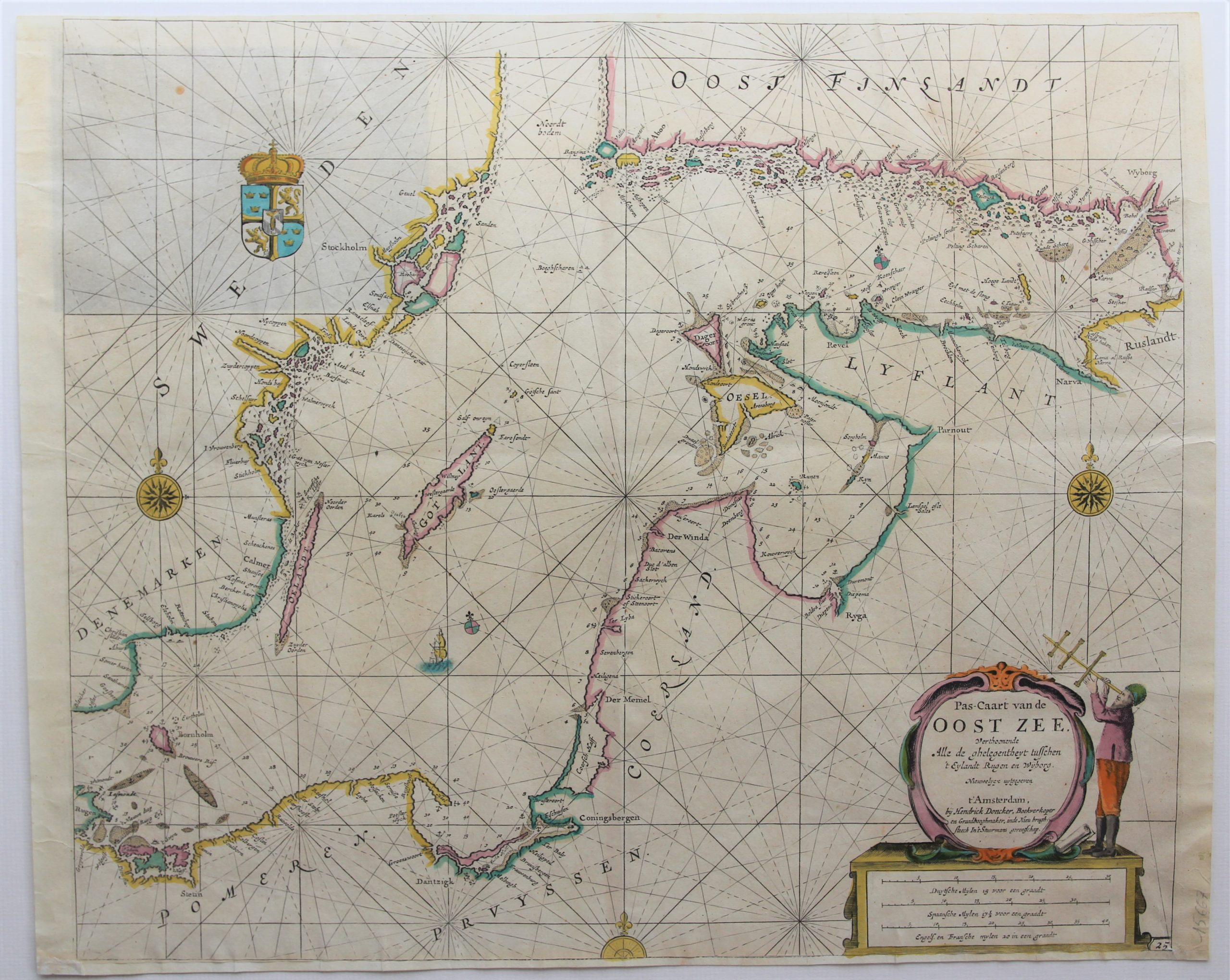
Chart of the Baltic Sea – Pas-Caart van de Oost Zee…
Super nice chart
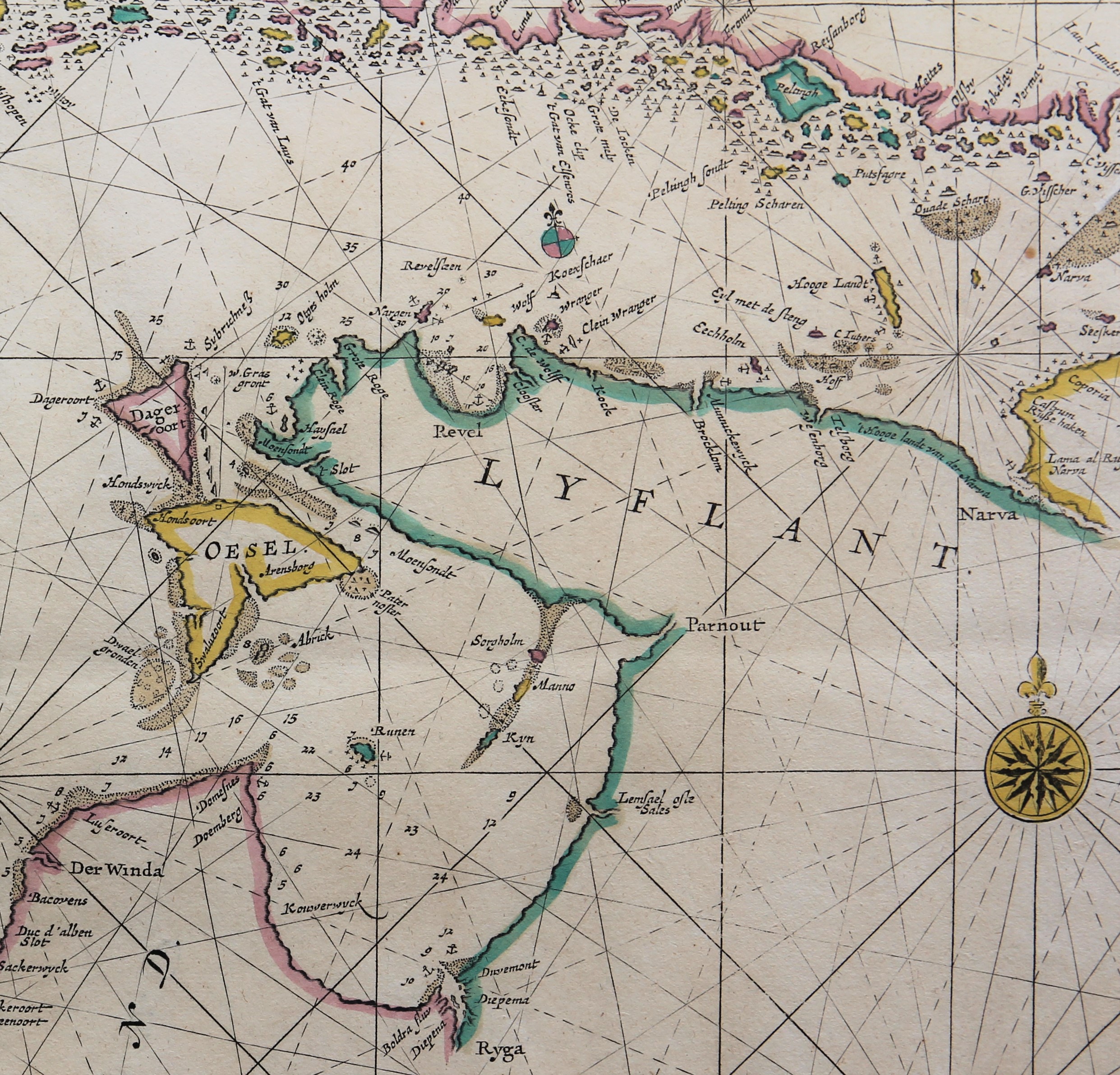
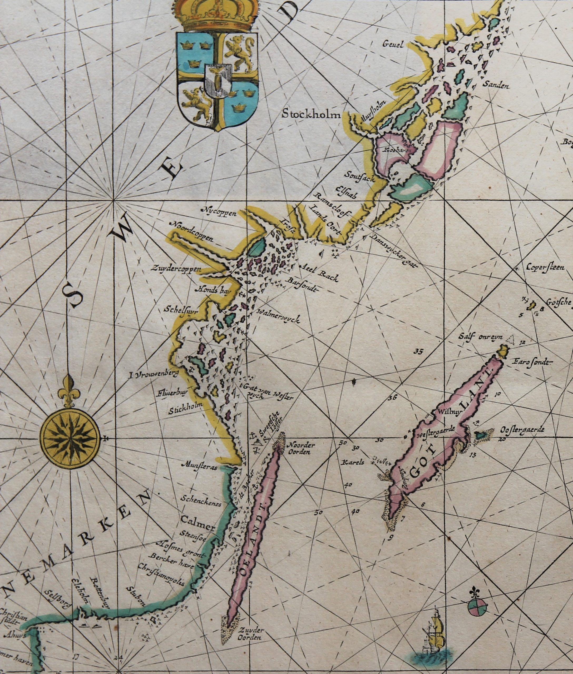
Detail
Date of first edition (in various configurations with insets): 1660 (Zee-atlas; Koeman Don 2))
Date of this map: 1685 (third state of Zee-Spiegel)
Dimensions (not including margins): 43,5 x 51,3 cm
Dimensions (including margins): 44,7 x 54,7 cm
Condition: very good. Sharp copper engraving. Old colouring. Top and bottom margins small.
Condition rating: A
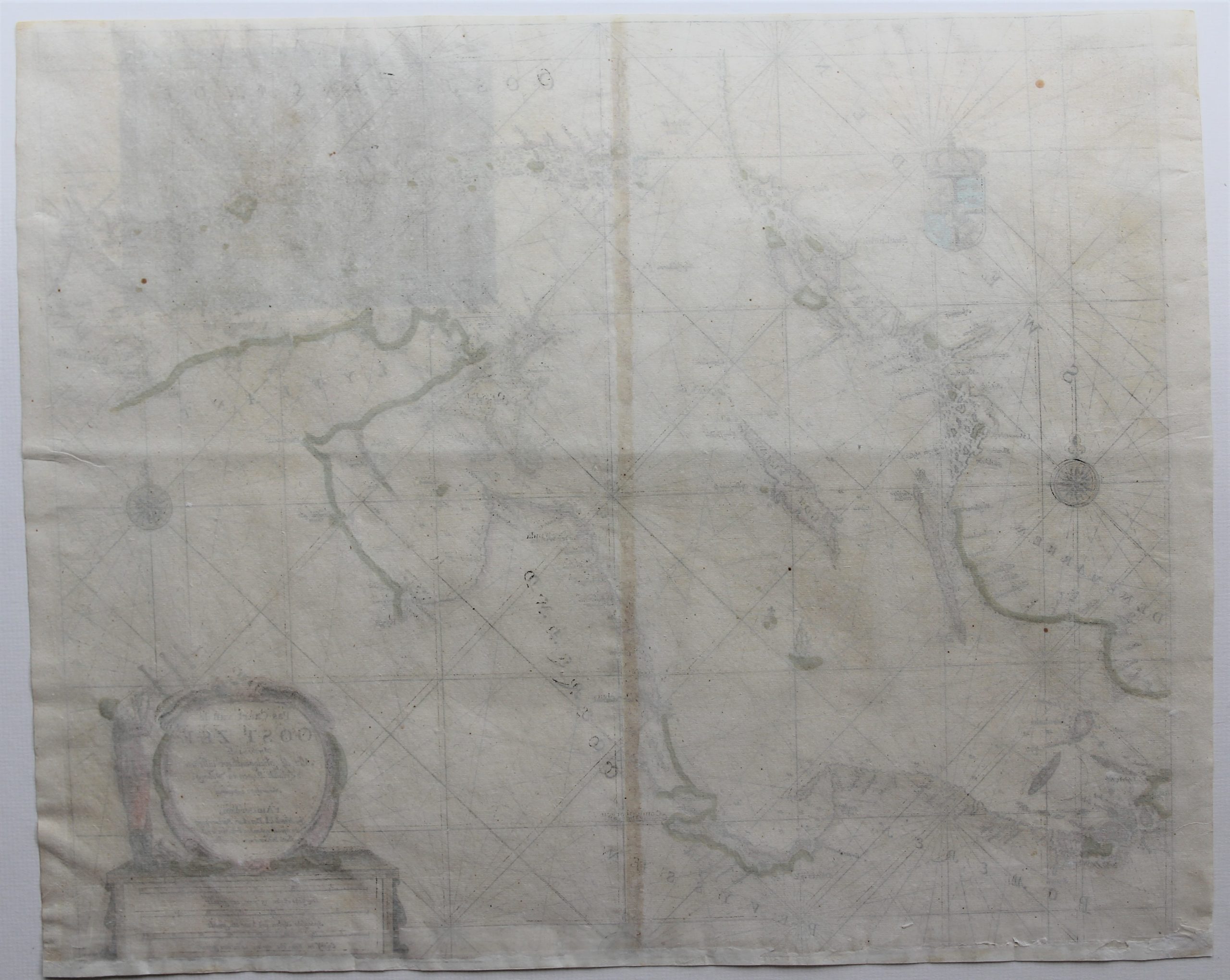
Verso: blank
Map reference: Koeman, Don41, map 25
From: De Nieuwe Geoctroyeerde Verbeterde en Vermeerde Stuurmans Zeespiegel; Koeman Don 41: ’25’ added at right bottom.
In stock
Baltic Sea Chart
Hendrick Doncker (1626-1699) was an Amsterdam publisher of nautical charts, atlases and books, cartographer and protractor maker. His most important atlases were: the Zeeatlas and the Zeespiegel. After his death his son Hendrick II continued the family business, but he was not specialized in nautical charts.
Doncker is known for his precise charting. With respect to this map, it is interesting to note the denominations of the countries at the Baltic Sea: Pomeren, Pruyssen, Coerland, Lyfland, Oost Finland, Sweden and Denemarken.
Concerning South Sweden or Scania: Historically, it formed part of the kingdom of Denmark until the signing of the Treaty of Roskilde in 1658. Denmark regained control of the province (1676–1679) during the Scanian War and again briefly in 1711 during the Great Northern War. Scania has been an undisputed part of Sweden since 1720.
Full title: Pas-Caart van de Oost Zee Verthoonende Alle de gelegentheyt tusschen ‘t Eylandt Rugen en Wyborg
