Denmark – Daniae Regni Typum 1630
Rare and interesting
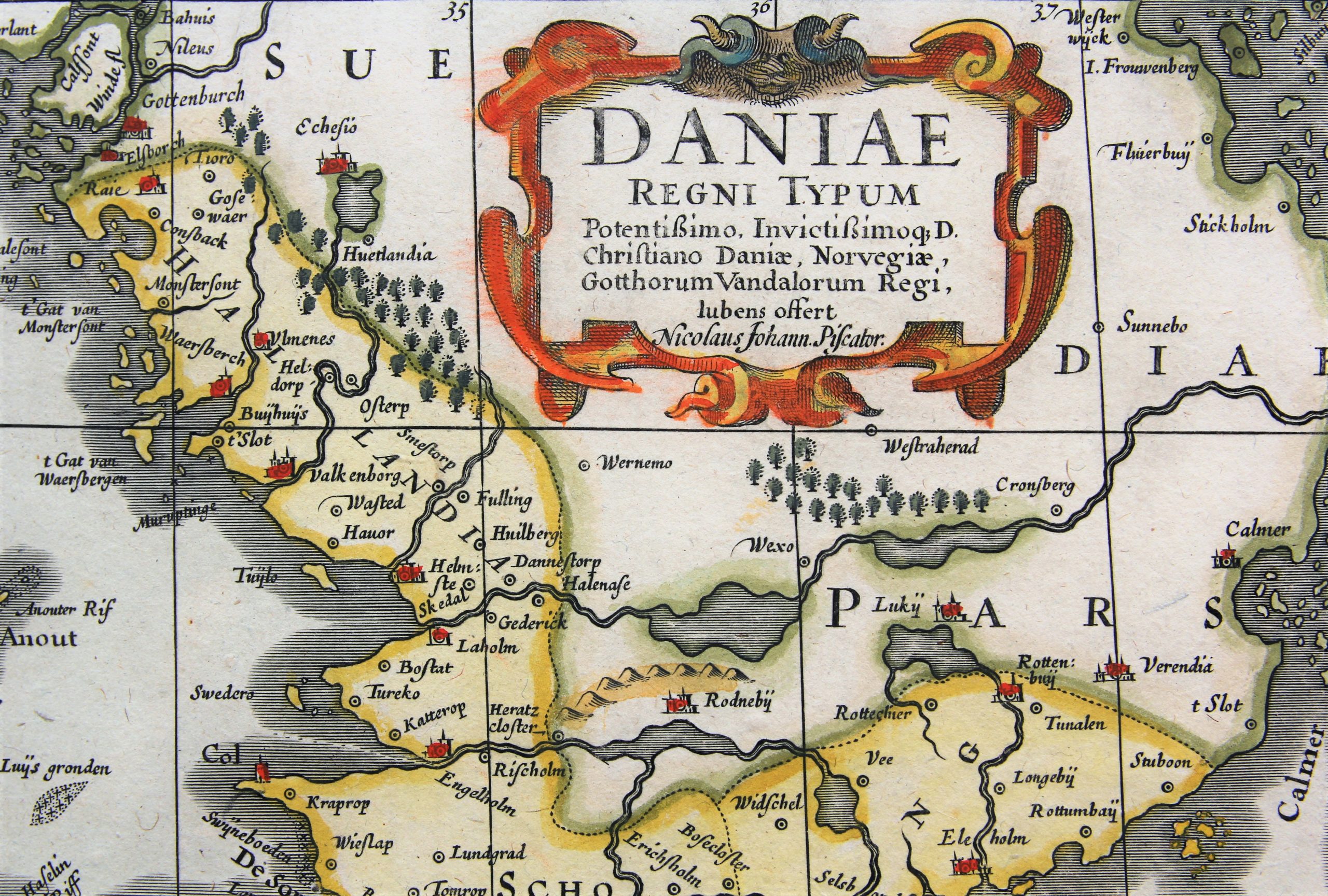
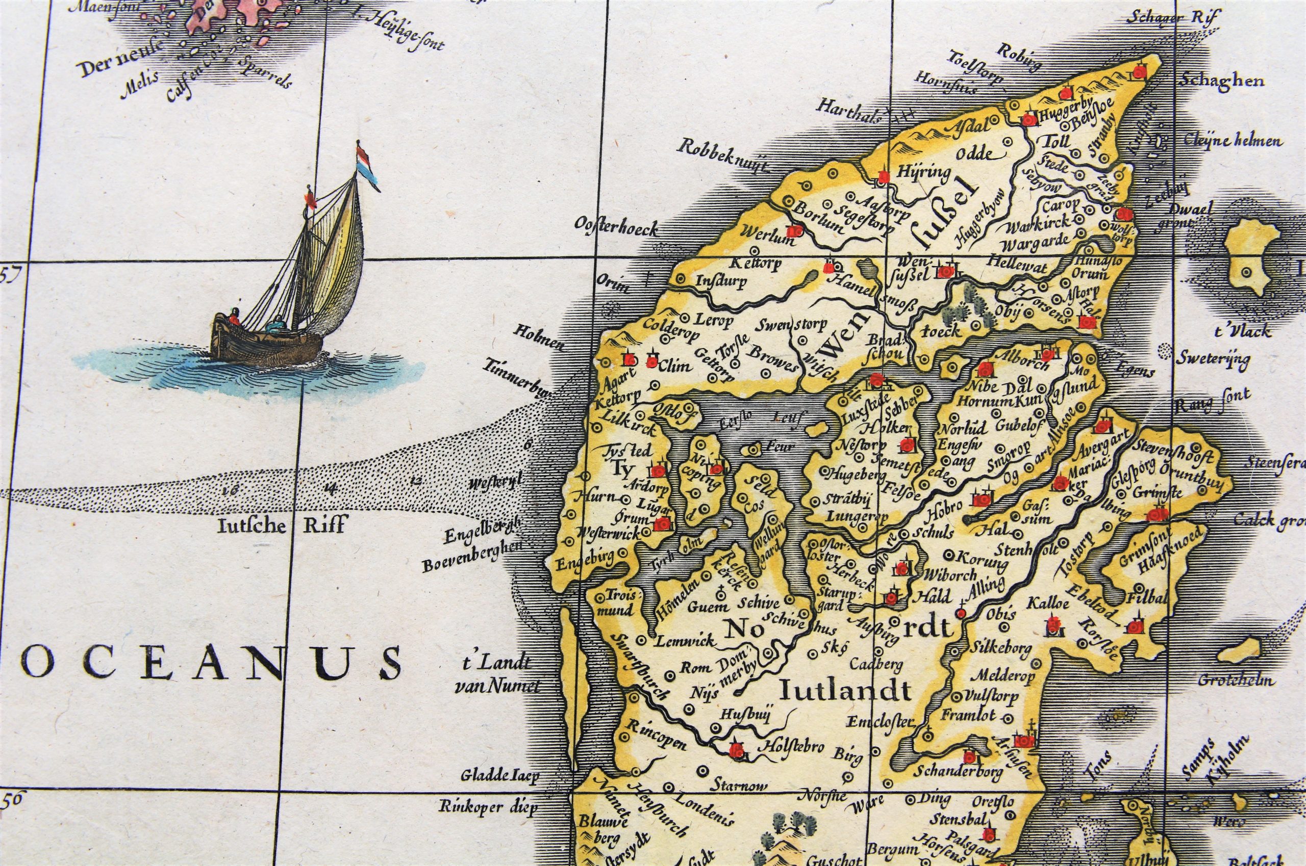
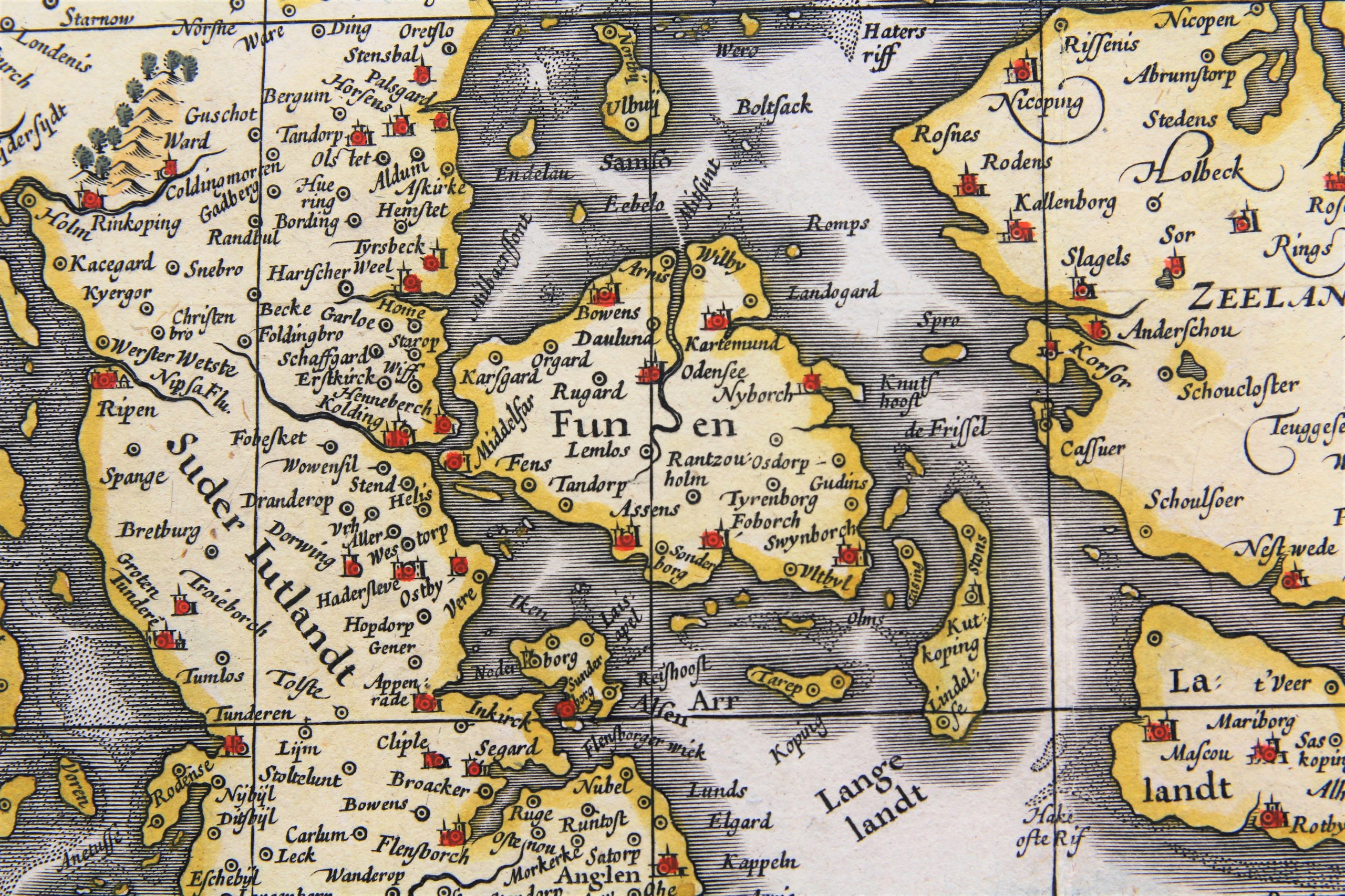
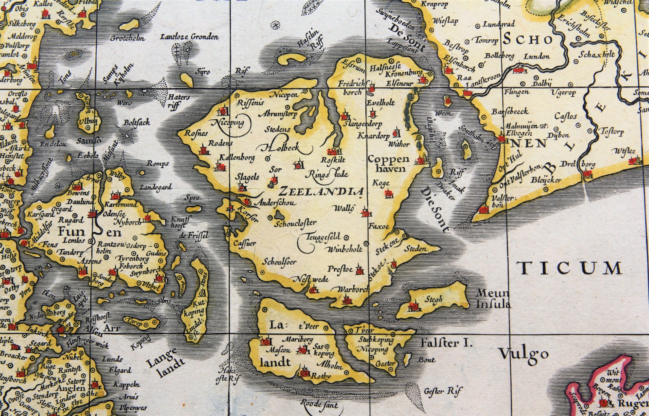
Detail
Date of first edition: 1630
Date of this map: 1630 (second edition)
Dimensions (without margins): 41,2 x 52,2 cm
Dimensions (including margins): 48,4 x 56,4 cm
Condition: Excellent. Sharp copper engraving. Centre fold as published, flattened. Very wide margins.Old coloured.
Condition rating: A+
Verso: blank
In stock
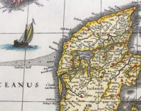
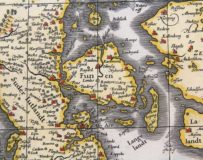
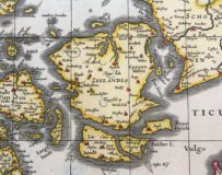
Daniae Regni Typum
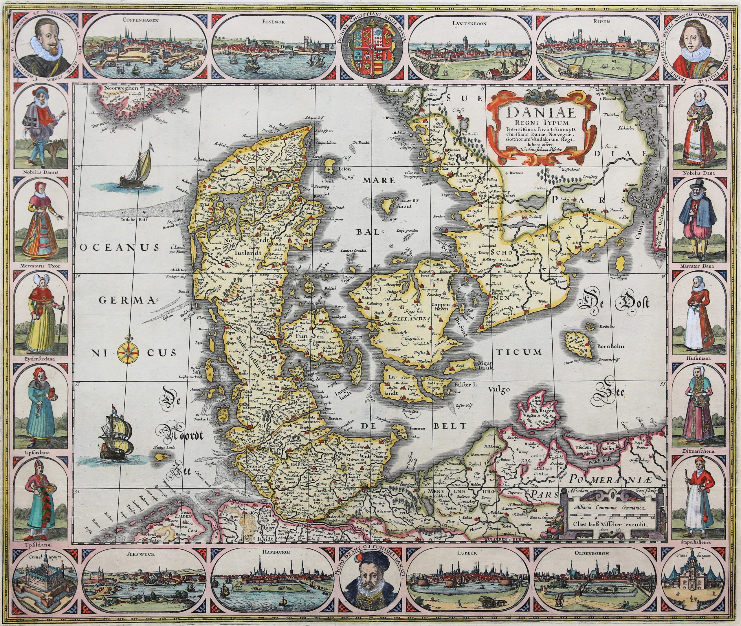
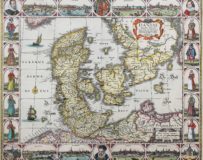
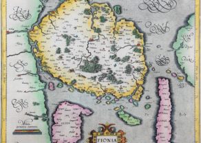
A beautiful and rare carte-à-figures was published by Claes Janszoon Visscher in Amsterdam in 1630. A second edition, now for the first time with the date (1630).
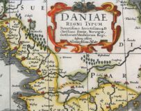
The map was engraved mainly after John Speed’s 1626 map of Denmark by Abraham Goos, who signed as engraver above the cartouche in the lower right corner; the decorative borders were etched in Visscher’s workshop. It shows modern day Denmark, Schleswig-Holstein and Mecklenburgh, southern Sweden and Bornholm.
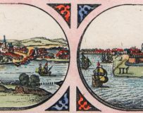
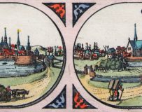
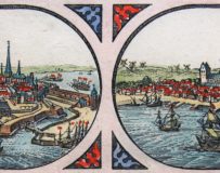
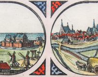
The top border shows the royal coat of arms flanked by oval views of “Coppenhagen”, “Elsenor”, ”Lantskroon” and “Ripen” together with circular portraits of “Christianus IV.” and “Freder. Christian.. Christiani IIII. Filius”, in the bottom border a portrait of Tycho Brahe is flanked by oval views of “Sleswyck”, “Hamburgh”, “Lubeck”, “Oldenburgh” and circular views of “Croneburgum” and “Uraniburgum”. The left and right borders show figures in contemporary dress.
This is exactly the same map as the map Daniae Regni Typus by Janssonius. The only difference is in the cartouche which mentions Nicolaus Johann Piscator.





Claes Janszoon Visscher
Visscher, who was born and died in Amsterdam, was also known as Nicolas Joannes Piscator or Nicolas Joannis Visscher II, after his father who lived ca. 1550–1612