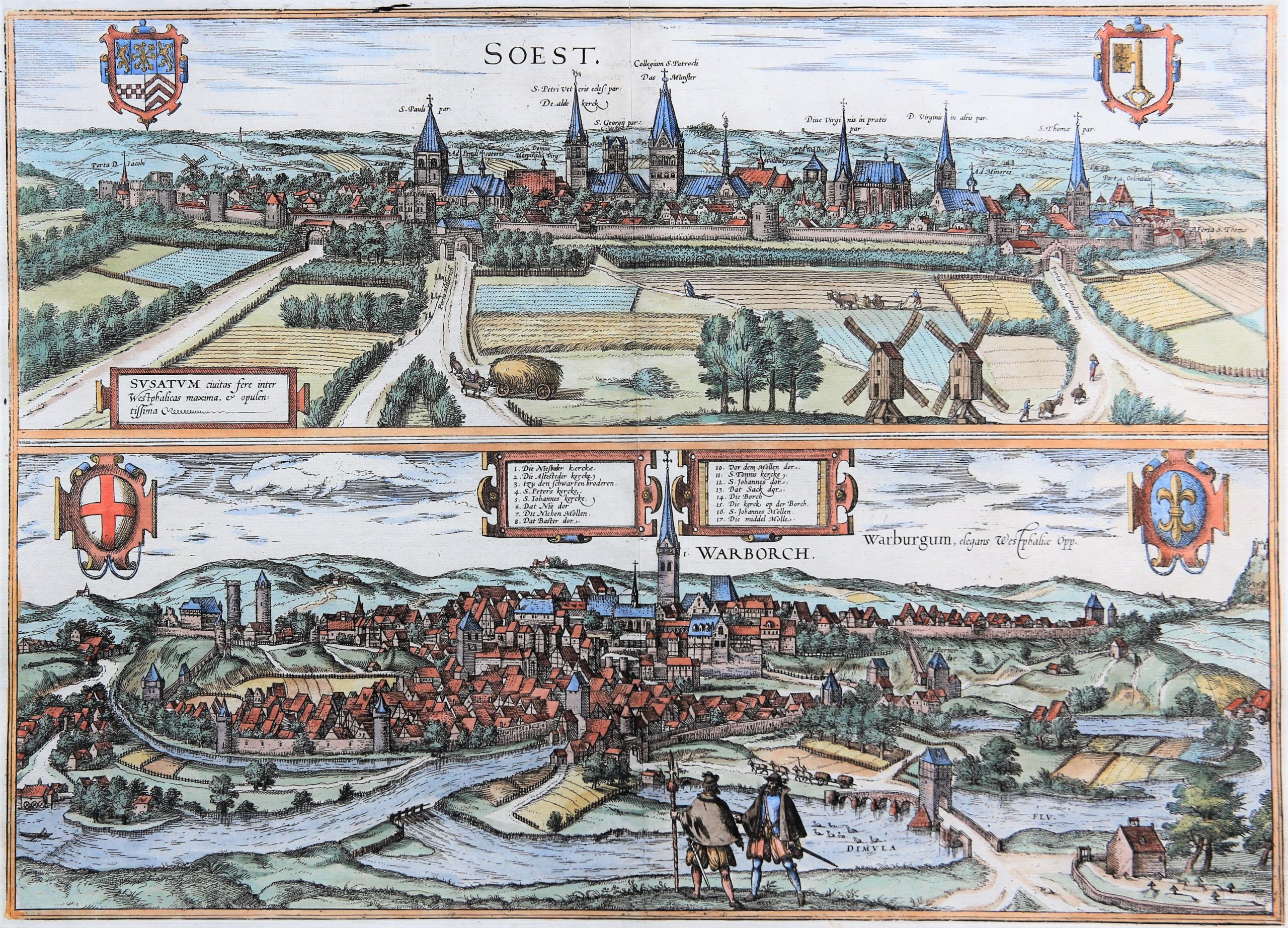
Soest and Warburg (Nordrhein-Westfalen)
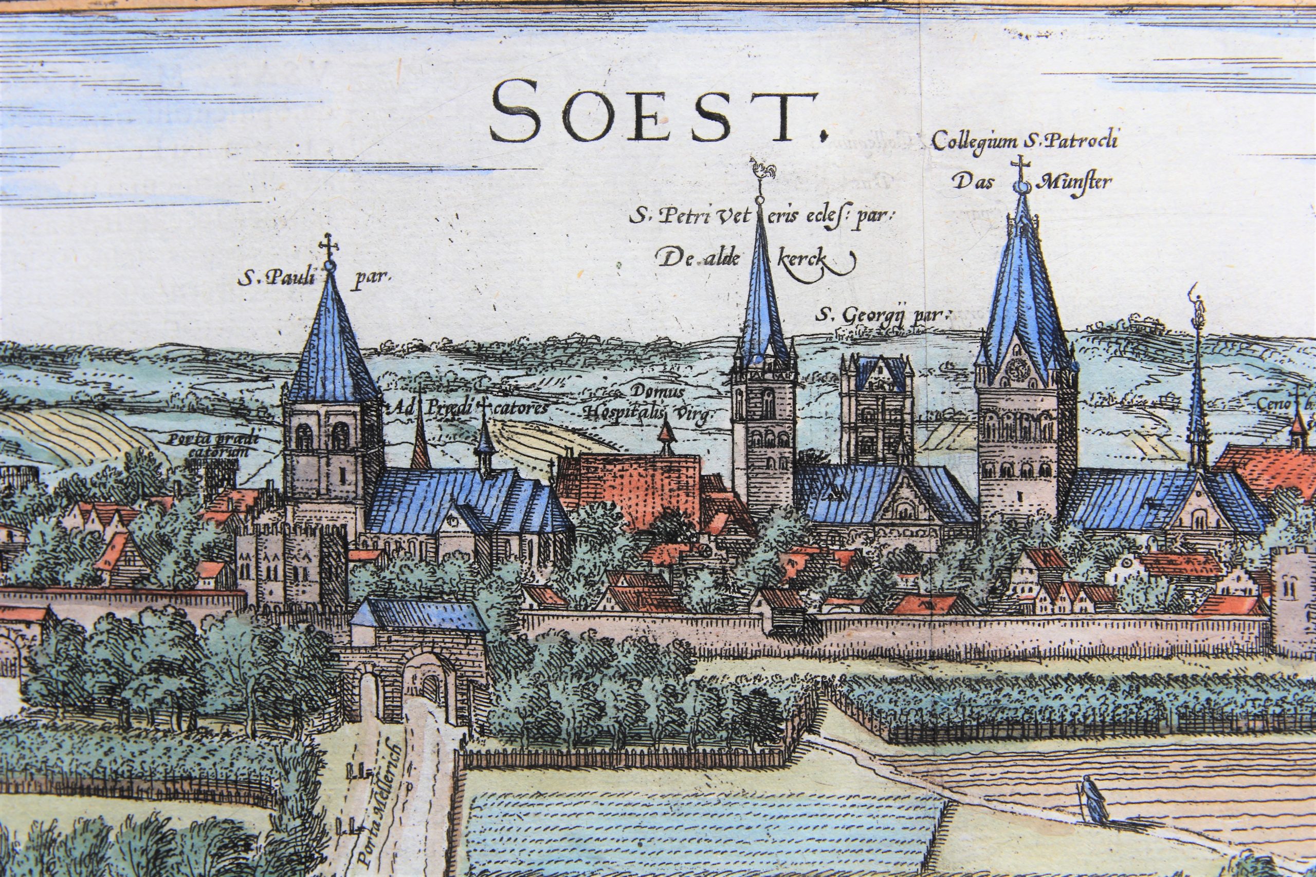
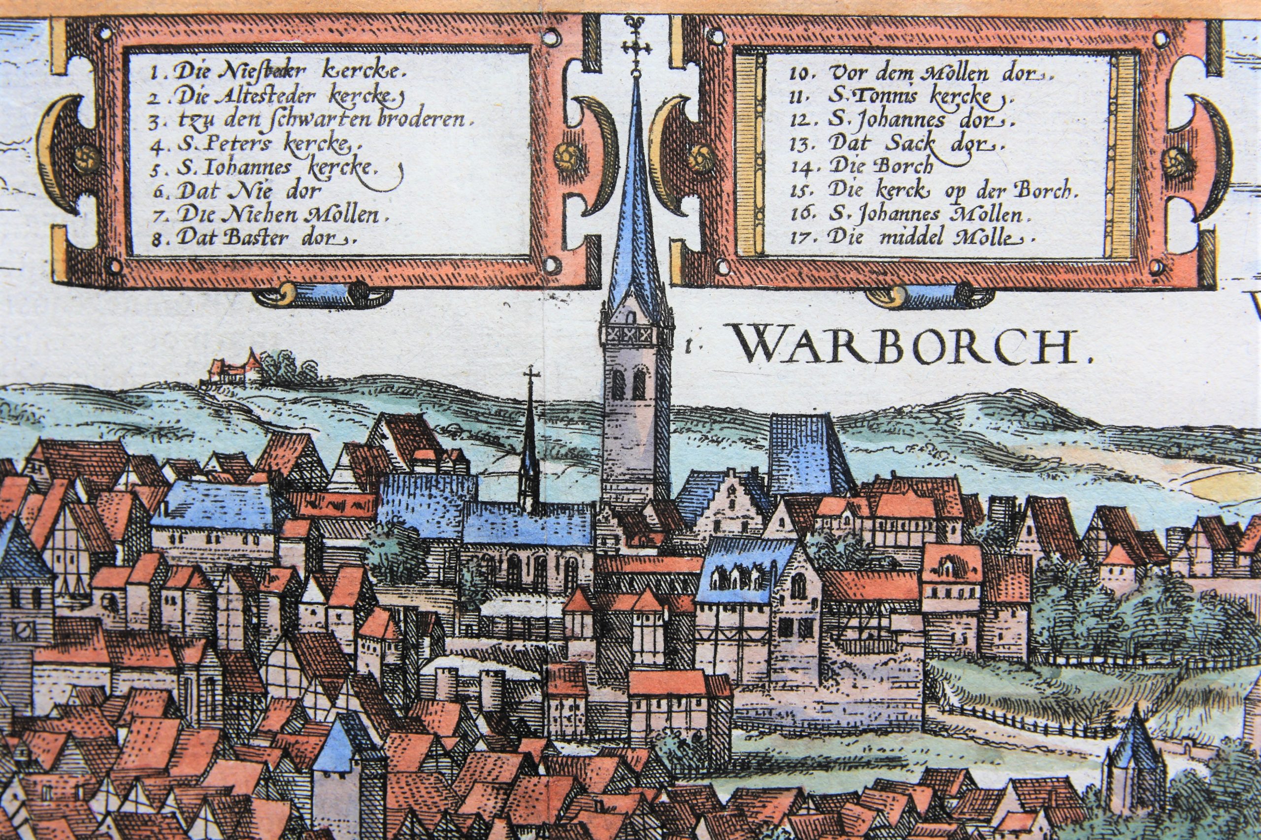
Detail
Date of first edition: 1581
Date of this map: 1584
Dimensions (not including margins): 33,9 x 46,9 cm
Dimensions (including margins): 39,9 x 51,9 cm
Condition: Very good. Strong paper and wide margins. Centre fold as published. Nice colouring.
Condition rating: A+
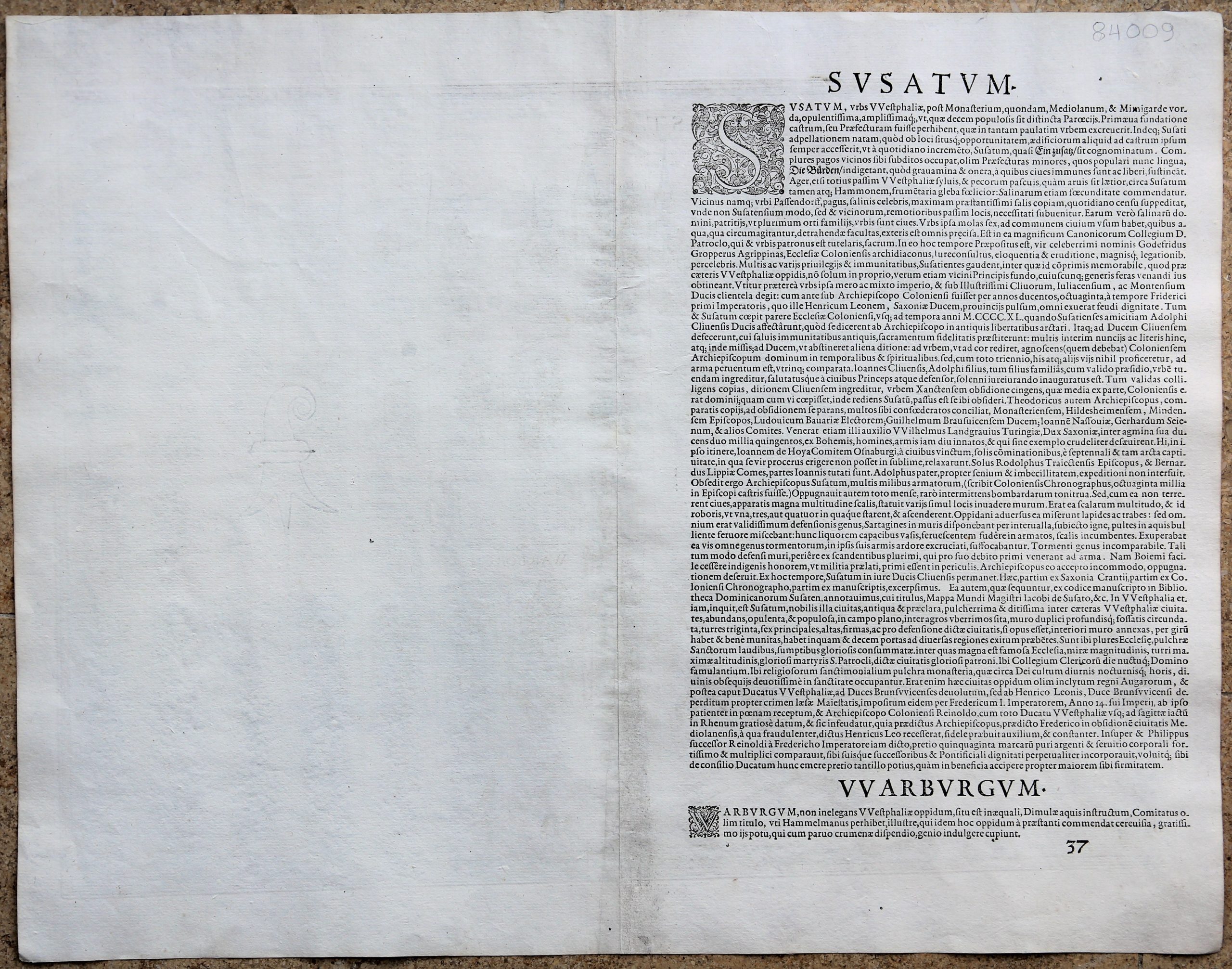
Verso: text in Latin
Map references: Taschen, Br.. Hog., p.245
From: Civitates Orbis Terraarum, Vol. III, Urbium Praecipuarum Totius Mundi, Liber Tertius (first edition 1581)
In stock
Soest commented by Braun
“Although the farmland in Westphalia is generally better for woods and cattle pastures, the area around Soest and Hamm is still suitable for cultivating grain. Soest is also well known for its many salt mines. For the town of Pfaffendorf, where the salt mines lie, supplies Soest with daily deliveries of such a quantity of precious salt that is sufficient to cover the needs of not only the city itself but also all its neighbouring towns far around. The owners of the salt mines, mostly nobles, are inhabitants of the city. The city itself maintains six mills for the general use.”
CARTOUCHE: Soest, among the cities of Westphalia almost the largest and richest.
This view shows the city from the southeast, it’s dominated by numerous church spires.
Warburg commented by Braun
“Warburg, an attractive town in Westphalia, lies on hilly ground with the River Diemel flowing by. It formerly had the title of county, as Hermann Hamelmann records in his Westfà¤lische Geschichte, where he also praises the town for its delicious beer, which is happily imbibed, in particular by those who seek humour for little expense.”
CAPTION: Warburg, a fine town in Westphalia.
This view from the south shows the town of Warburg, which is spread out across several hills. The early Gothic church of St John the Baptist soars above the New Town in the centre background. The Old Town in the foreground, which sprang up on an advantageous site on the Diemelfurt, is first mentioned in records of 1036. Following the foundation of the New Town in 1228 by the bisshop of Paderborn, the two merged to form a single town in 1436. The town hall “between the town” was erected in 1568. On the far right is a glimpse of Desenberg castle, perched on top of a striking 340-m-high basalt bluff as if on an inselberg.
Related items
-

Hamburg – Hamburgum
by Georg Braun and Frans HogenbergPrice (without VAT, possibly to be added): €1 200,00 / $1 332,00 / £1 068,00Superb bird’s-eye city plan of Hamburg with key to 27 locations
-

Frankenberg (Hesse) – Francenbergum, vel ut alij Francoburgum Hassiae Opp.
by Georg Braun and Frans HogenbergPrice (without VAT, possibly to be added): €400,00 / $444,00 / £356,00 -

Kiel – Chilonium
by Georg Braun and Frans HogenbergPrice (without VAT, possibly to be added): €900,00 / $999,00 / £801,00
