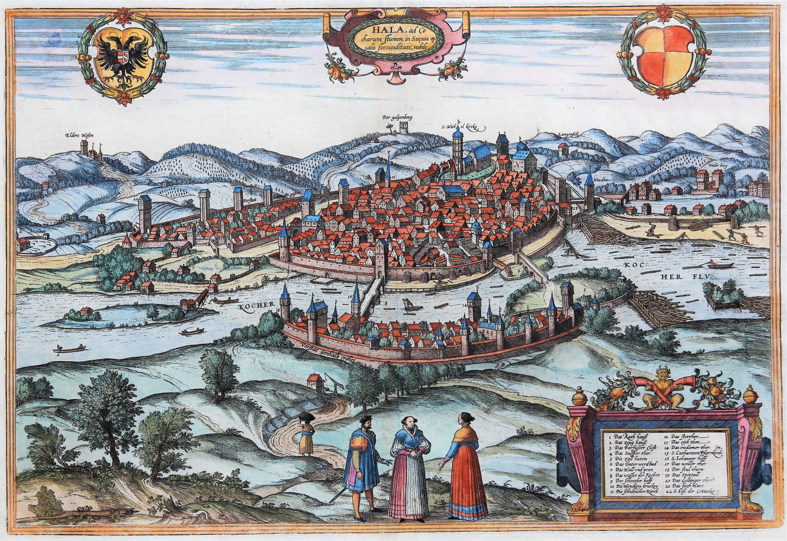
Schwäbisch Hall
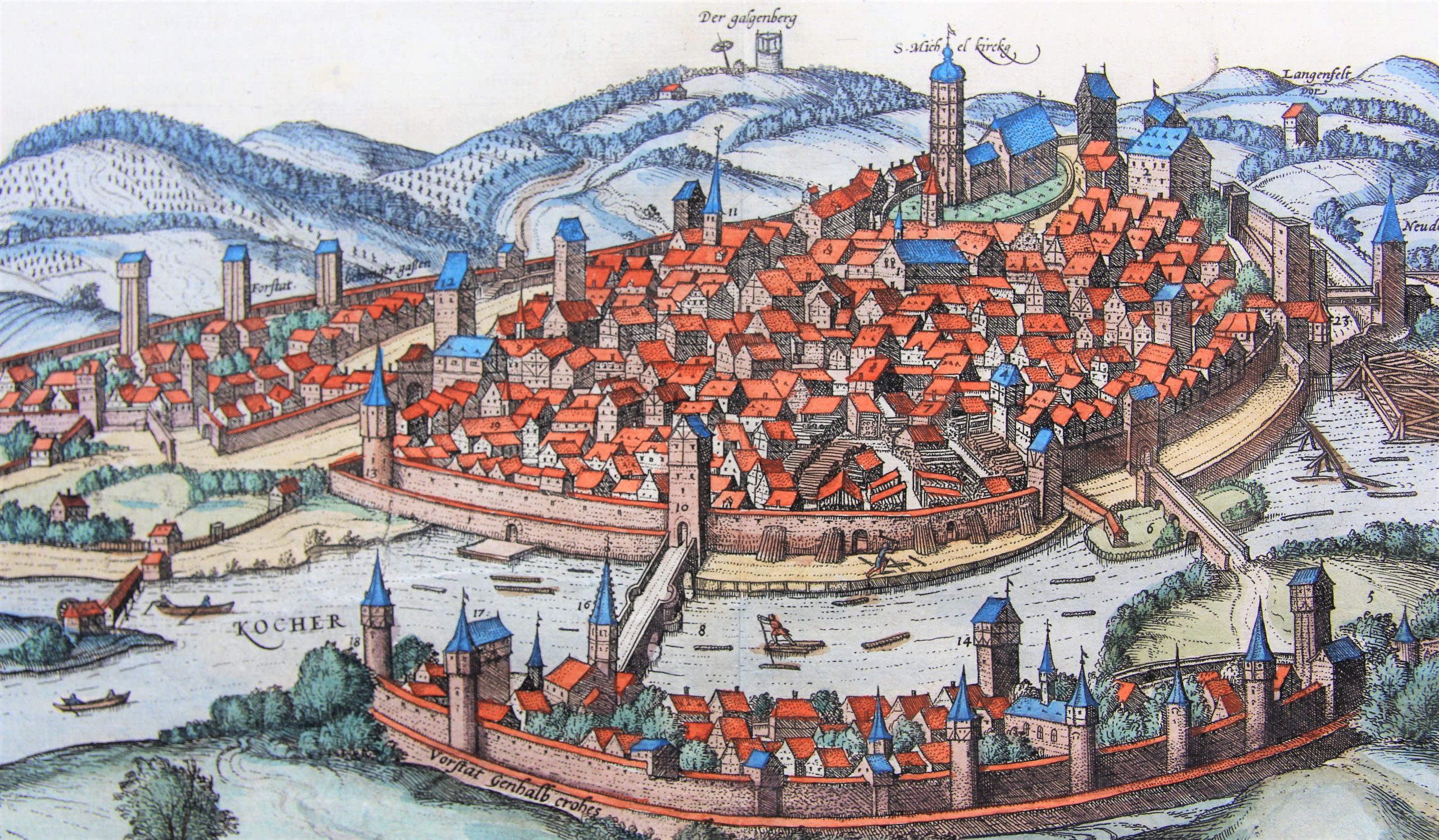
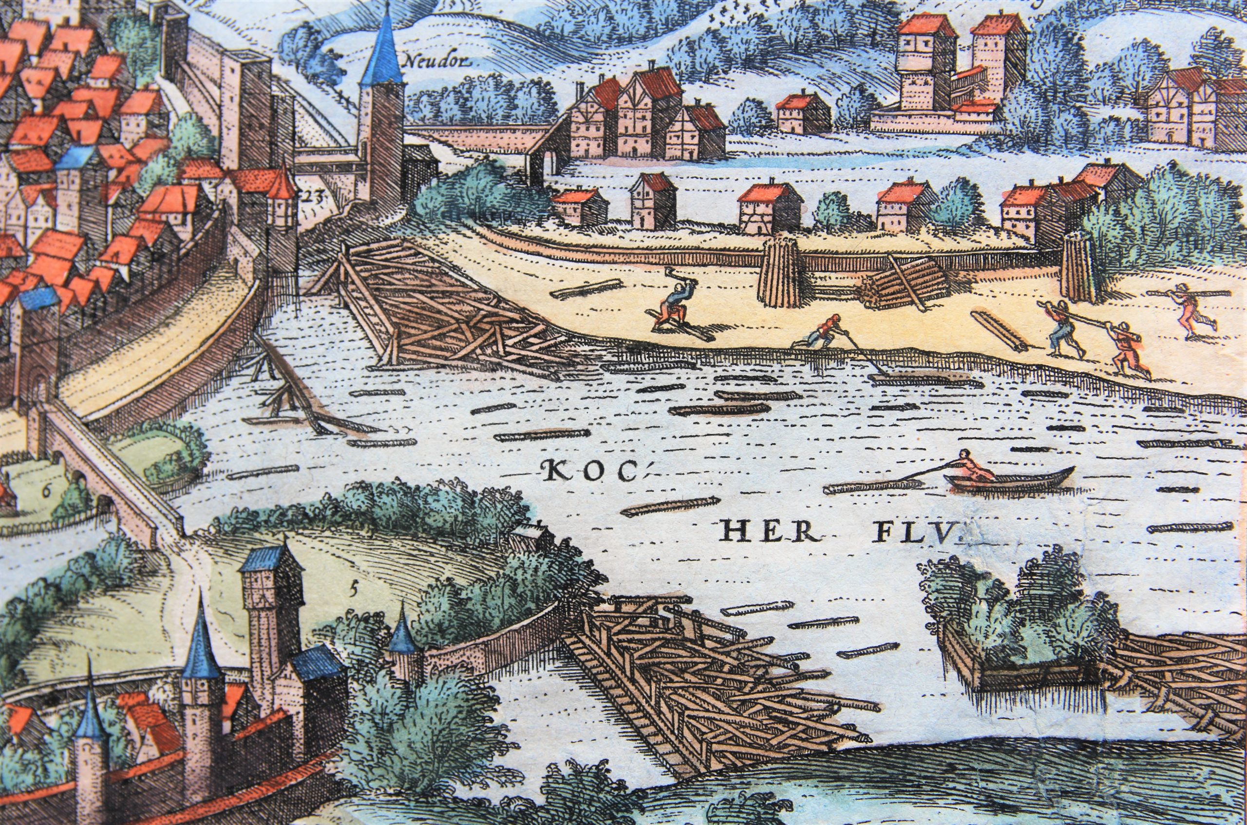
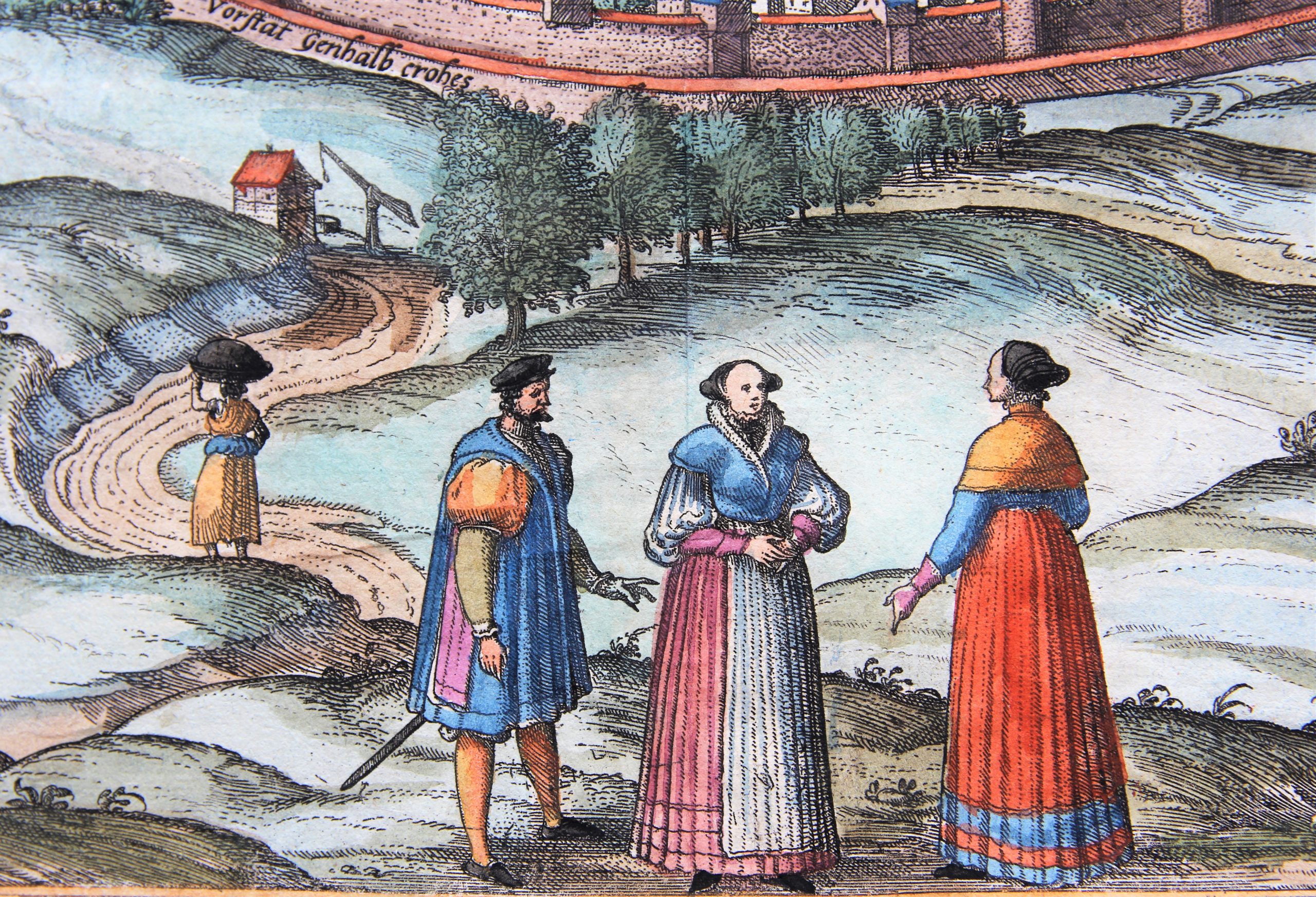
Detail
Date of first edition: 1575
Date of this map: 1575
Dimensions (not including margins): 33 x 47,8 cm
Condition: Very good. Strong paper with minor browning and some foxing. Wide margins. Centre fold as published. Nice colouring.
Condition rating: A
Verso: text in Latin
Map references: Van dr Krogt 4, 3922; Taschen, Br.. Hog., p.174
From: Civitates Orbis Terrarum, Vol. II: De Praecipuis, Totius Universi Urbibus, Liber Secundus
In stock
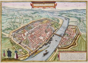
Schwäbisch Hall commented by Braun
“Schwäbisch Hall is an important imperial city, situated in the valley of the Kocher, which in former times was a special bulwark against the Franks and their attacks, and which was granted important privileges by emperors, kings and princes. […] The city is divided into three parts: the part where salt is produced is referred to as the Old Town, here there are salt springs and the parish church of St Michael. The second part is on this side of the Kocher. Here stands the church of St John. The third part is called Gelwinger Gass, here is the horse market.”
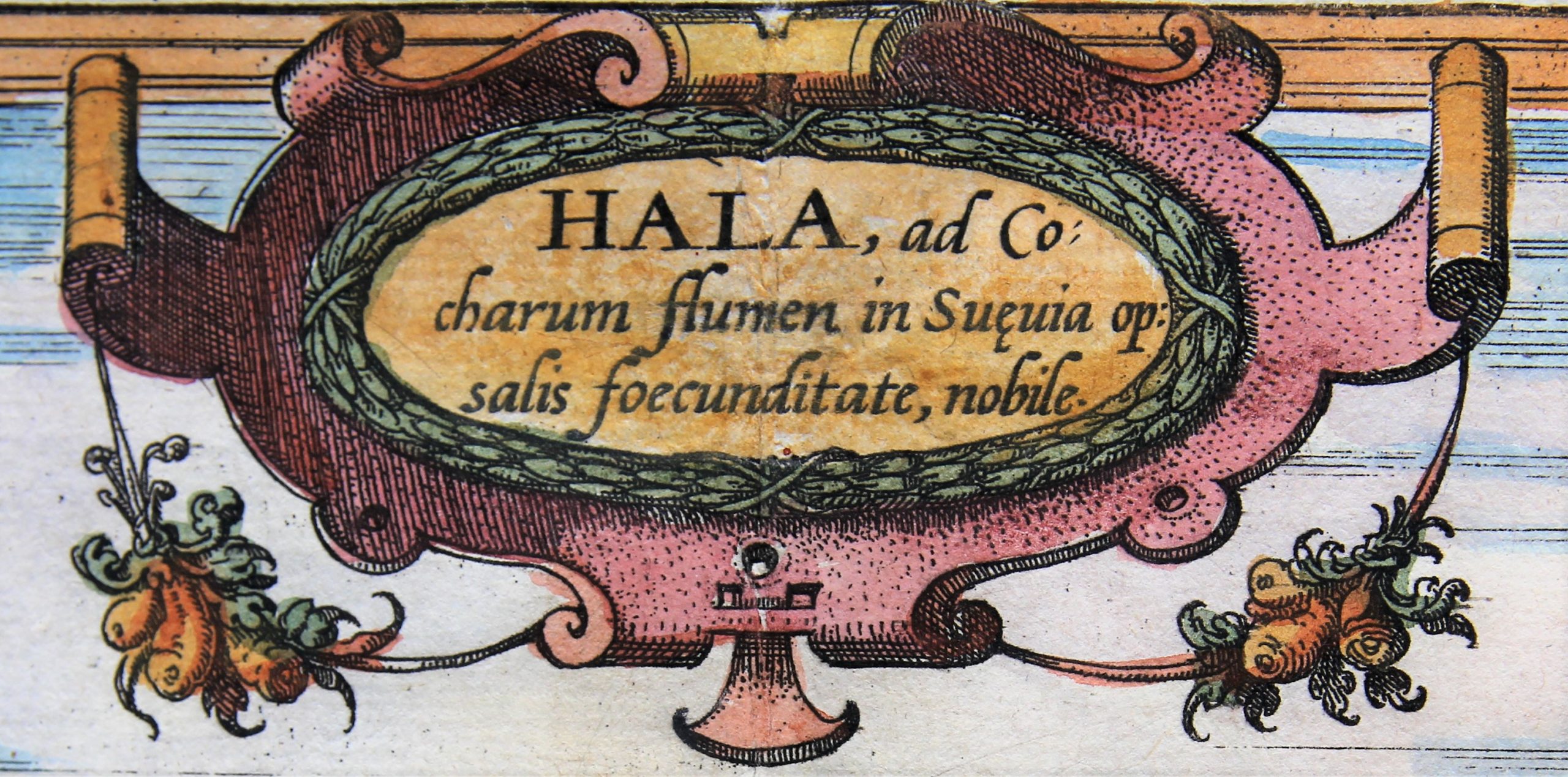
CARTOUCHE: Schwäbisch Hall on the Kocher, famed for its abundance of salt. (Title: Hala, ad Cocharum Flumen in Suevia, op:salis foecundiate nobile)
Taschen on Schwäbisch Hall
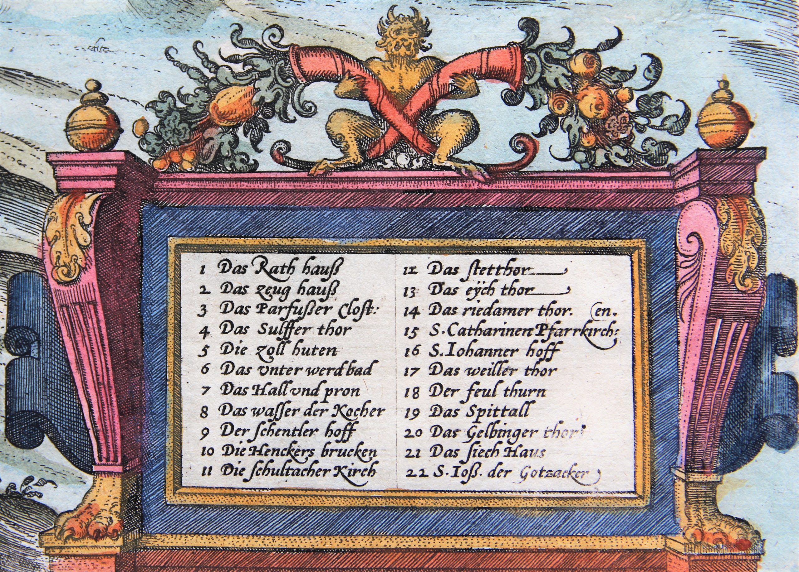
In this view from the northwest looking down across the Kocher Valley, the 15th-century Gothic church of St Michael with its Romanesque west tower stands out; to the left is the Galgenberg (Gallows Hill), in the foreground the stone Henkersbrücke (hangman’s bridge). The landing of logs in the Kocher and the big storage yard for lumber (7) are a reference to the flourishing timber industry. Schwäbisch Hall was granted a municipal charter in 1204 and became an imperial city in 1280. The saltworks and the mint brought wealth to the city. In the 16th century there were 1,124 households in Schwäbisch Hall; in the first half of the 16th century the town embraced Protestantism and was therefore occupied by Emperor Charles V in 1546, during the Schmalkaldic War.
