Metz
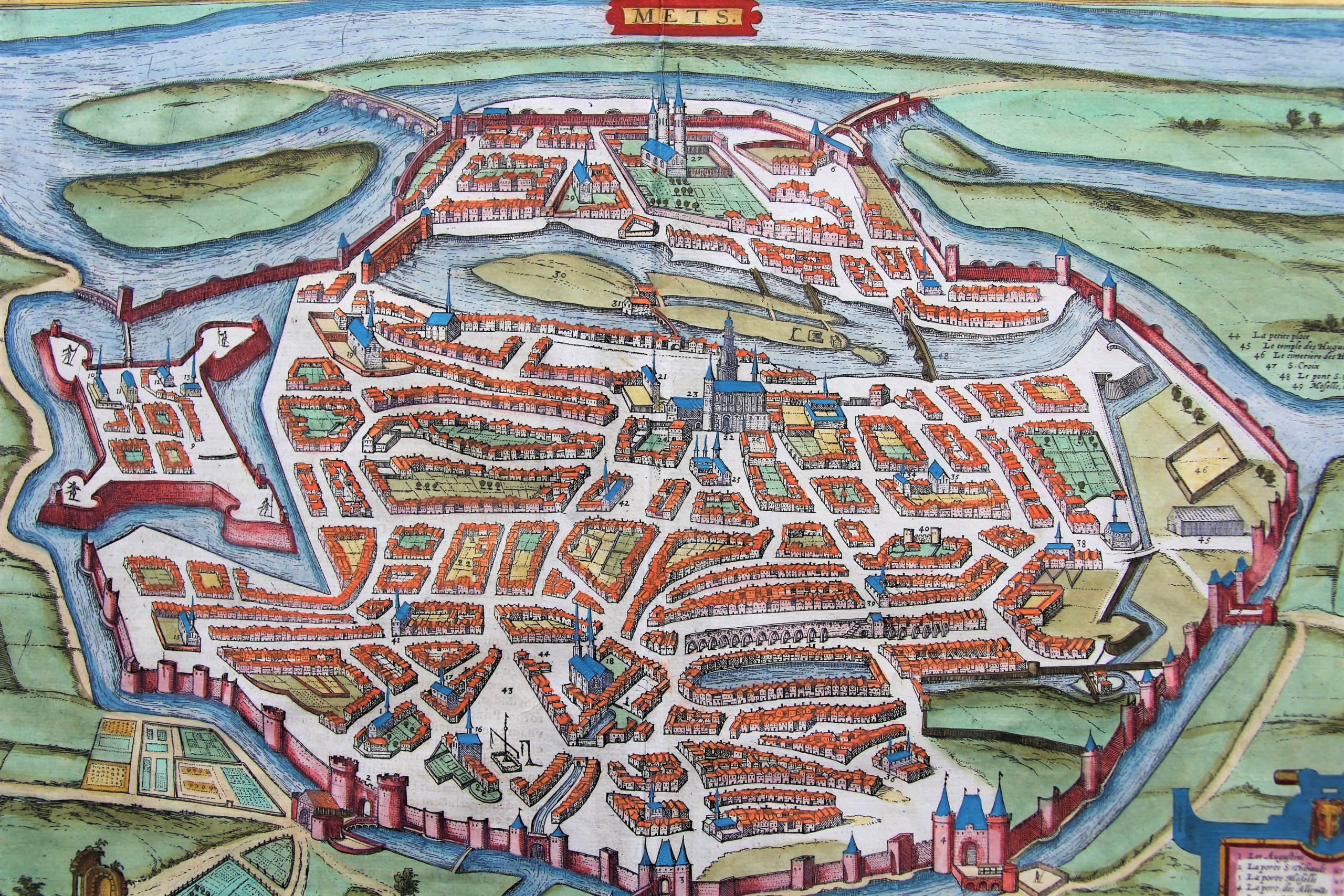
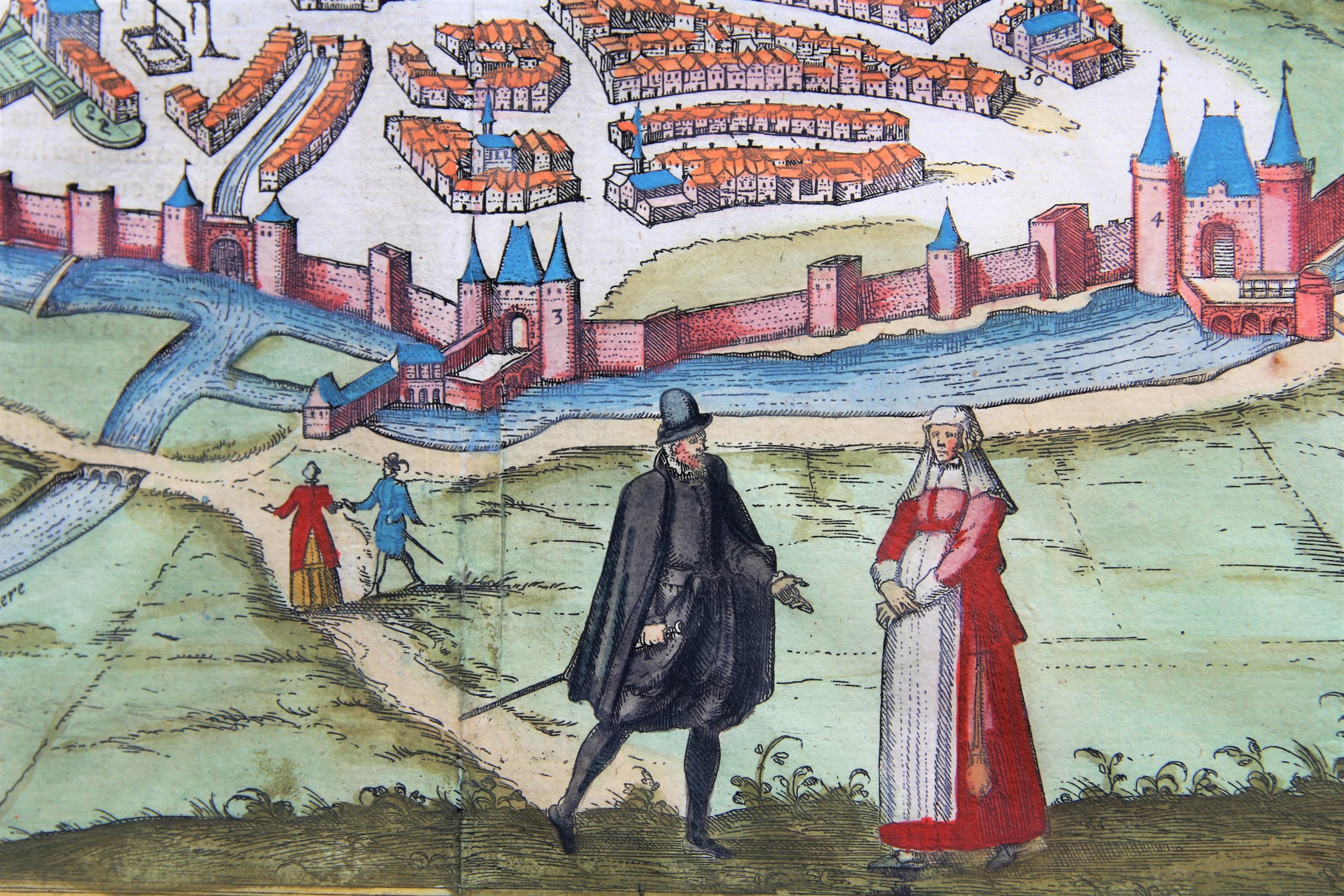
Detail
Date of first edition: 1581
Date of this map: 1581-1588
Dimensions (not including margins): 35,7 x 48,7 cm
Dimensions (including margins): 41,9 x 54,9 cm
Condition: Very good. Strong paper with minor browning. Wide margins. Centre fold as published. Nice original colouring.
Condition rating: A
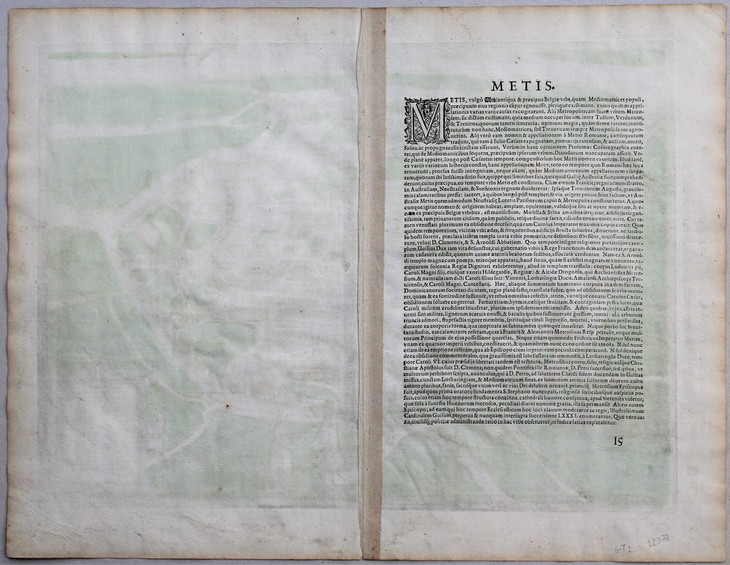
Verso: text in Latin
Map references: Van der Krogt 4,2715, state 1; Fauser, #8809; Taschen, Br. Hog., p.150.
From: Civitates Orbis Terrarum, Vol. II. Van der Krogt 41:1-3, page 15
In stock
Metz commented by Braun
“Metz is a splendid old, well-fortified, wealthy and open city. […] It has large and magnificent buildings, houses and churches, which, however, were partially destroyed when Emperor Charles besieged it.”
Taschen on Metz
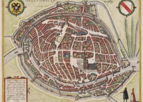
This bird’s-eye view of the Lorrainese city of Metz shows in the foreground the Seille and in the distance the Moselle. The Gothic cathedral of Saint-Etienne, famed today because of its stained-glass windows by Chagall and Bissière, stands out in the middle of the medieval Old Town. The Porte des Allemands, named after the hospital of the Teutonic Order next to it, is all that remains of the medieval fortifications. Notable is the church of Saint-Pierre-aux-Nonnains (12), which goes back to a late antique roofed hall dating from the 4th century AD. In the Middle Ages Metz was an important monastery and ecclesiastical city. This development came to an end in the 16th century, when the city was transformed into a military stronghold of the French. In 1552 the French king Henry II gained control over the three imperial bishoprics (Metz, Toul and Verdun). Charles V, however, tried to recapture these Lorrainese cities. His attack was successfully warded off in January 1553. Metz then became a garrison town fortified by walls and a citadel (9). Today the capital of Lorraine has a population of 124,000.
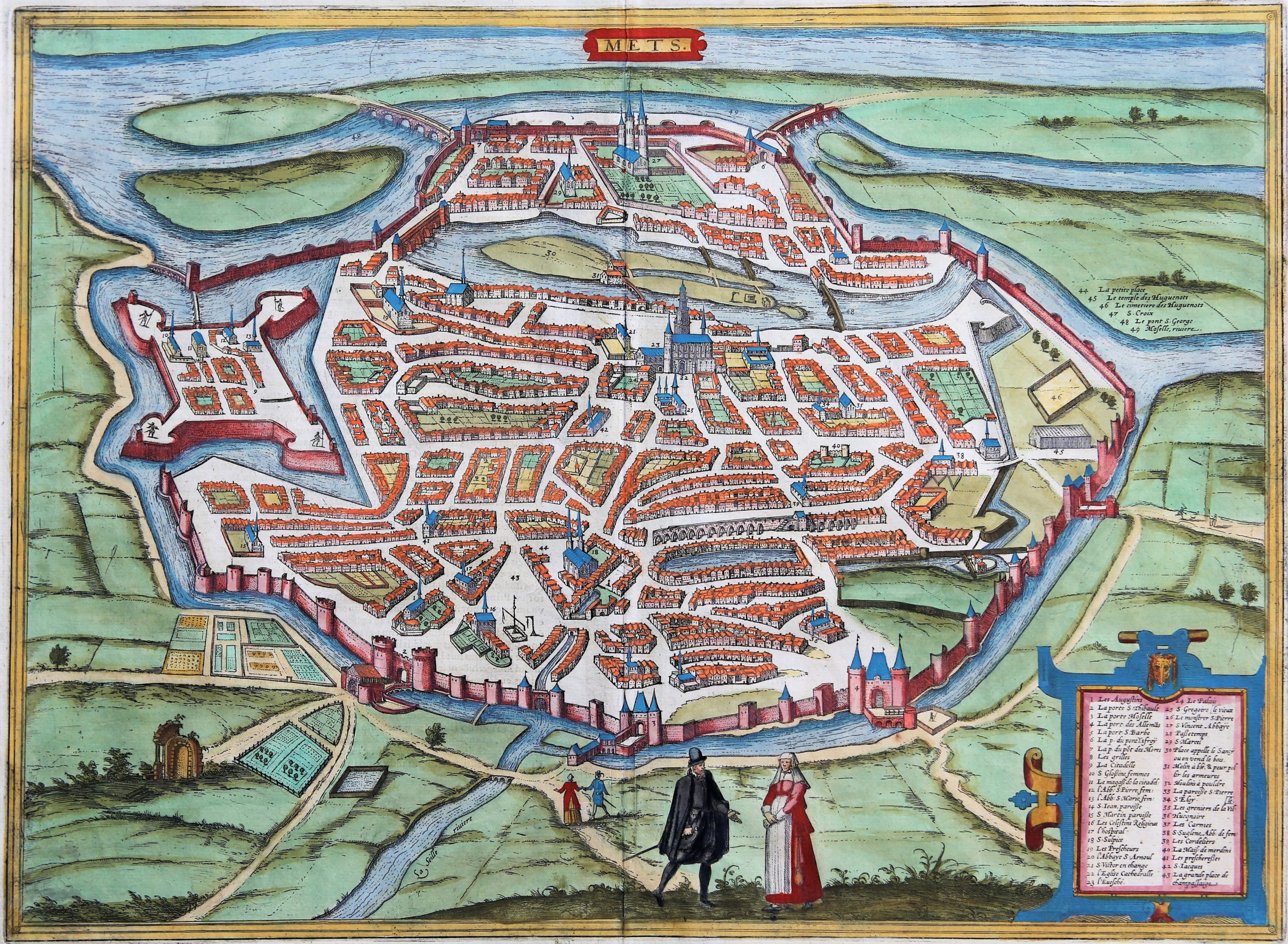


Metz
Metz is located at the confluence of the Moselle and the Seille Rivers. It has often been disputed between French and German rulers. After WWI and WWII it reverted to France.
In ancient times, the town was known as “city of Mediomatrici”, being inhabited by the tribe of the same name. After its integration into the Roman Empire, the city was called Divodurum Mediomatricum, meaning Holy Village or Holy Fortress of the Mediomatrici, then it was known as Mediomatrix. During the 5th century AD, the name evolved to “Mettis”, which gave rise to Metz.
Janssonus published a second state of this map in 1657, almost identical, but without the figures in local dress. His map was later copied by de Wit.