Europe, carte-à-figures
by
John Speed
Splendid carte-à-figures
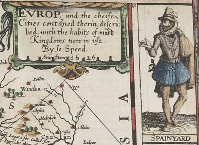
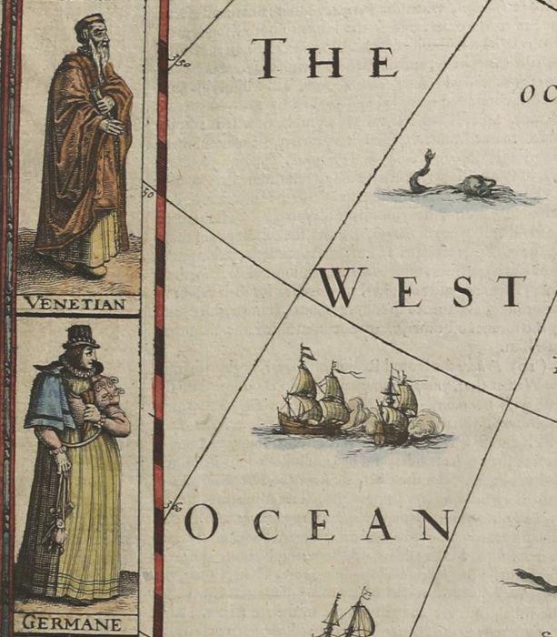
Detail
Date of first edition: 1627
Date of this edition: 1627
Dimensions (not including margins): 39,5 x 52 cm
Condition: Good, Verso tape repair along centerfold, bottom margin extended; some smudges along the top edge, including Prague. Partly old coloured.
strong copper engraving with lovely original colouring and wide margins.
Condition rating: A-B+
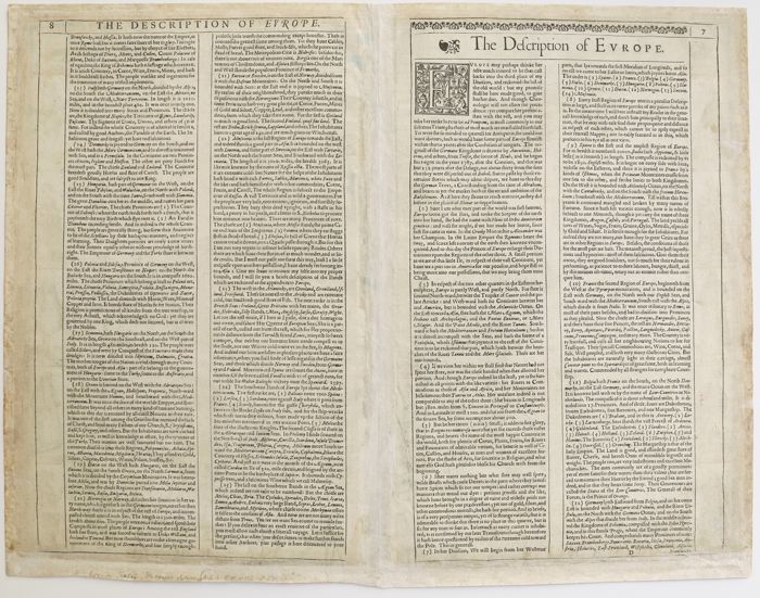
Verso: text in English
From: A Prospect of the Most Famous Parts of the World
Price (without VAT, possibly to be added): €2 700,00 (FYI +/- $2 997,00 / £2 403,00)
Unless otherwise specifically stated on this map page, we charge the following expedition costs in euro (unfortunatelly, gone up with Covid, but still too low in reality!):
– Benelux: 40 euro
– Rest of Europe: 60 euro
– Rest of the World: 100 euro
In stock
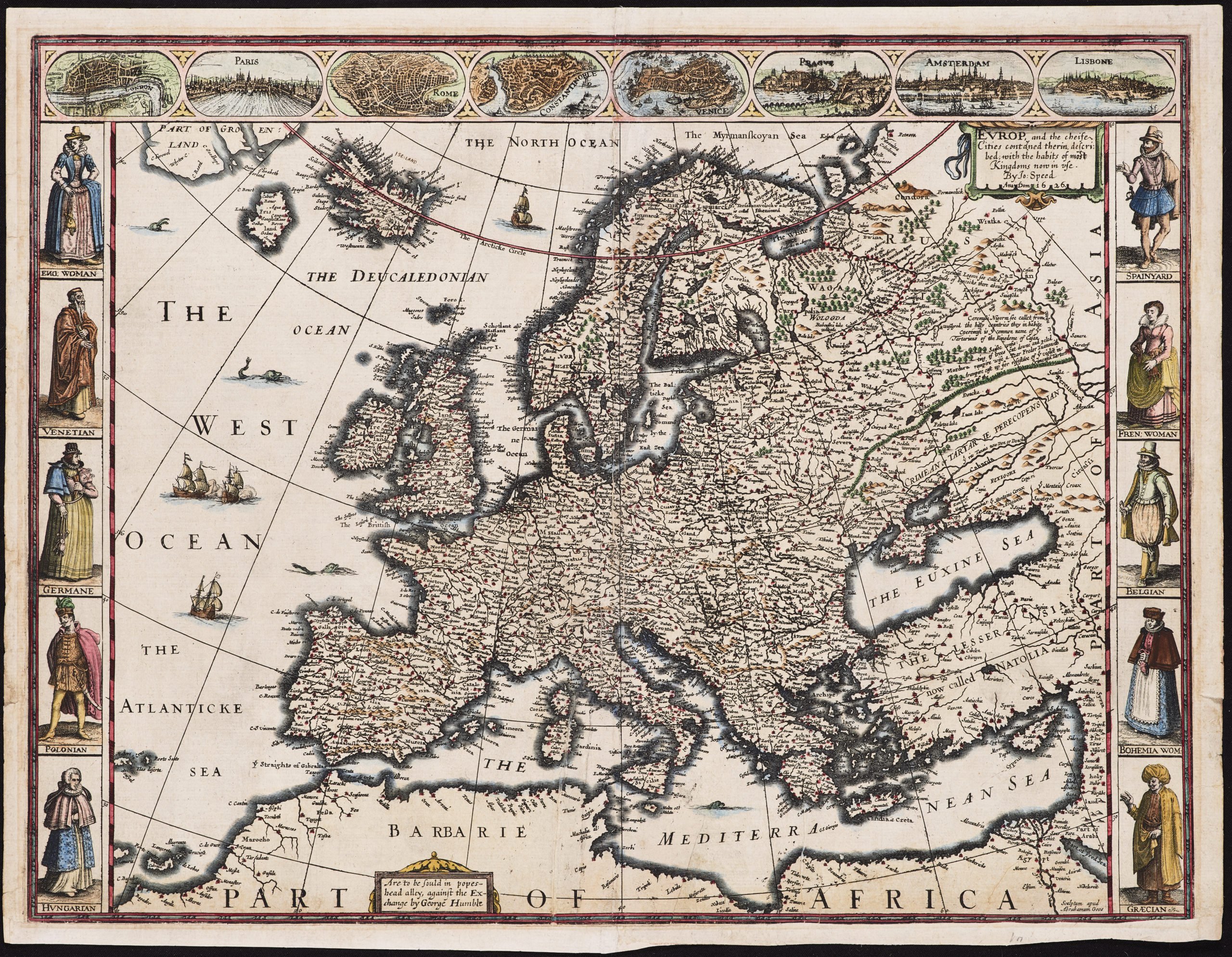

Speed’s Europe
Speed’s Prospect is not only the first world atlas by an Englishman but also the most famous.
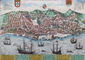
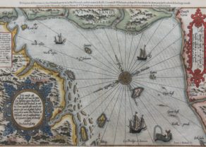
The upper border has eight bird’s-eye city views, of London, Paris, Rome, Constantinople, Venice, Prague, Amsterdam and Lisbon. The side borders contain the costumes of the noblemen and women of ten European nations. The map shows all of Europe, the northern coast of Africa, and the well-detailed but fictitious island of Frisland just off the coast of Iceland. The seas are alive with sea monsters and ships. Engraved by Abraham Goos. The impression is rich, the coloring bright.