Saint Petersburg – Platte Grond van de Stadt Petersburg
by
Isaak Tirion
Detail
Date of first edition: 1735
Date of this map: 1735
Dimensions (not including margins): 19,3 x 16,5 cm
Condition: Very good. Double fold as published. Nice old colouring. Strong paper and wide margins (paper size: 24,1 x 19,9 cm).
Condition rating: A
Verso: blanc
From: Hedendaagsche Historie of Tegenwoordige Staat van Alle Volkeren (vol. 7).
Unless otherwise specifically stated on this map page, we charge the following expedition costs in euro (unfortunatelly, gone up with Covid, but still too low in reality!):
– Benelux: 40 euro
– Rest of Europe: 60 euro
– Rest of the World: 100 euro
This item is sold
Related items
-

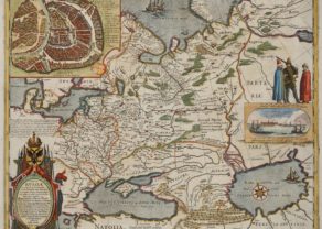
Russia with Moscou (Blaeu after Gerritsz)
by Willem and Joan BlaeuPrice (without VAT, possibly to be added): €3 000,00 / $3 330,00 / £2 670,00From the very rare and unfinished Spanish edition of the Atlas Maior
-

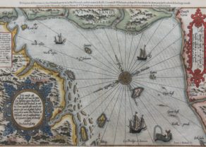
Chart of the Gulf of Finland
by Lucas Janszoon Waghenaer -

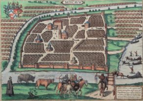
Moscou
by Georg Braun and Frans HogenbergPrice (without VAT, possibly to be added): €2 100,00 / $2 331,00 / £1 869,00
A new capital is founded
The city was founded by Tsar Peter the Great on 27 May 1703, on the site of captured Swedish fortress. It served as a capital of Russian Tsardom and the subsequent Russian Empire from 1713 to 1918.
So this city map is actually one of the older ones of the town.
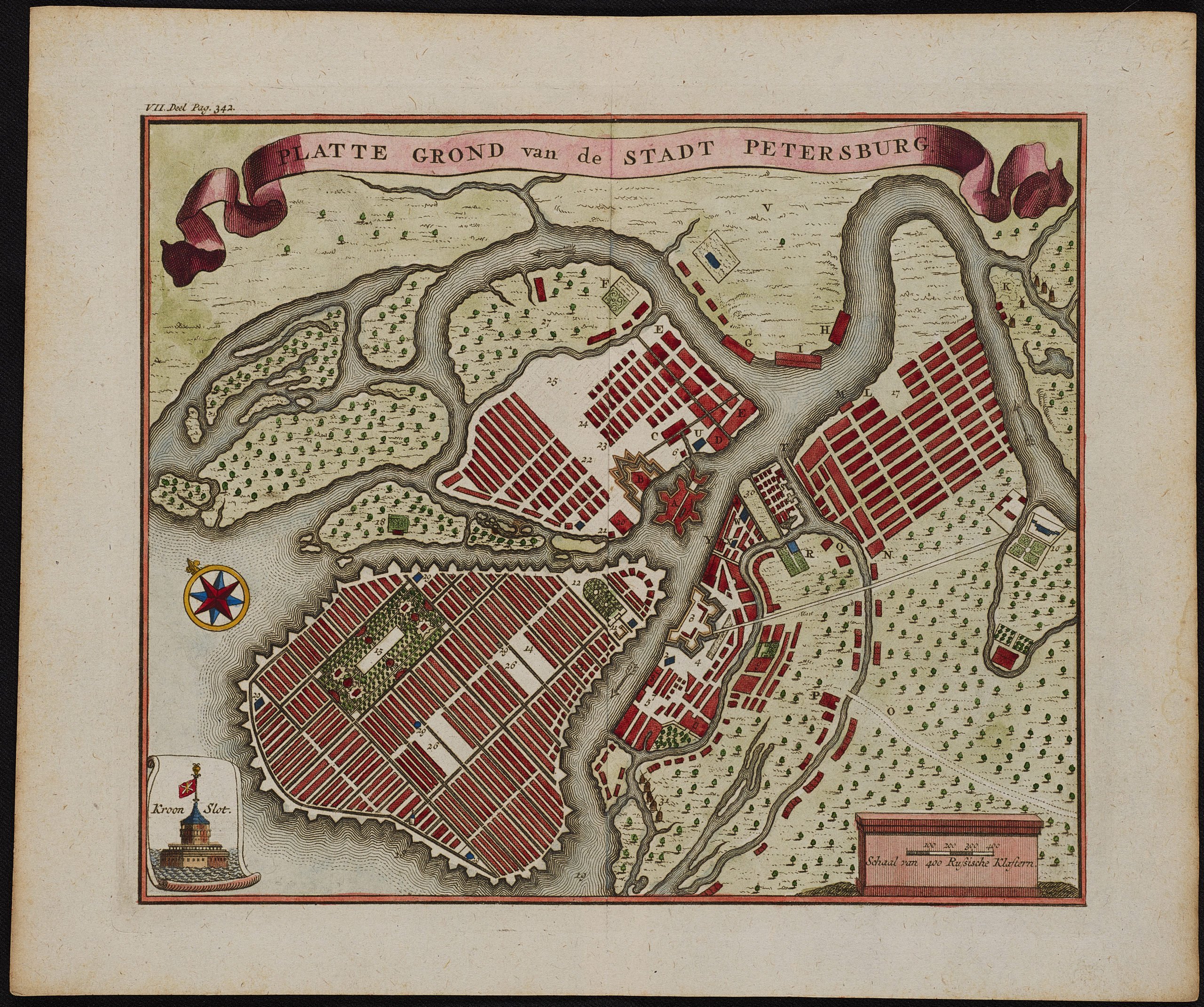
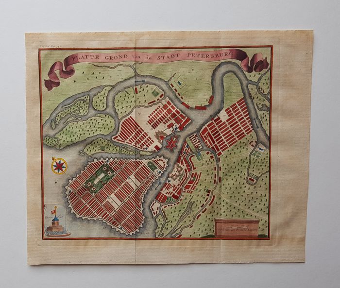
This nicely engraved bird’s-eye plan centers on Petrogradsky Island and the Peter and Paul Fortress:
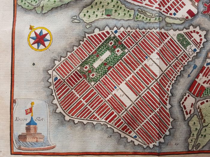
The rectangular grid on Vasilyevsky Island shows Peter the Great’s original intention of creating a network of intersecting canals and streets similar to Venice or Amsterdam. One of the fortresses of Kronstadt on Kotlin Island near Saint Petersburg., the city’s main seaport, is shown in a small scroll cartouche at bottom left.
A banner-style title cartouche adorns the top of the plan: ‘Platte Grond van de Stadt Petersburg’ – (‘Plan of the city Saint Petersburg’).
This map was published in the 7th volume of “Hedendaagsche Historie of Tegenwoordige Staat van Alle Volkeren” (Tirion, 1735). This volume deals with Russia, Norway, Sweden, Denmark, the North Pole and Greenland. Engraving on hand laid paper. Made by ‘J.C. Philips’ after an anonymous artist. Jan Caspar Philips (1690-1775) was a Dutch engraver, born in Germany, but settled in Amsterdam,