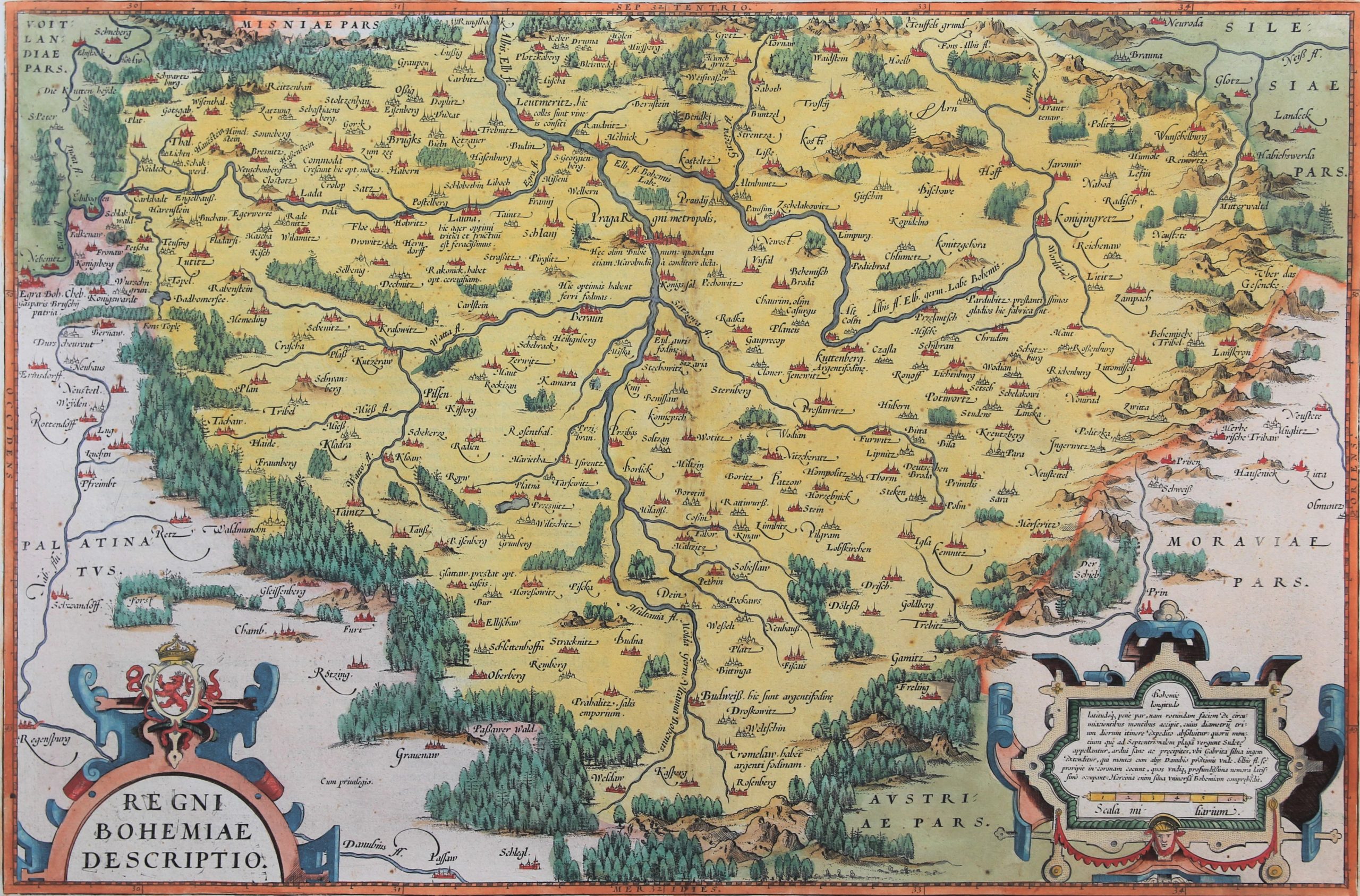
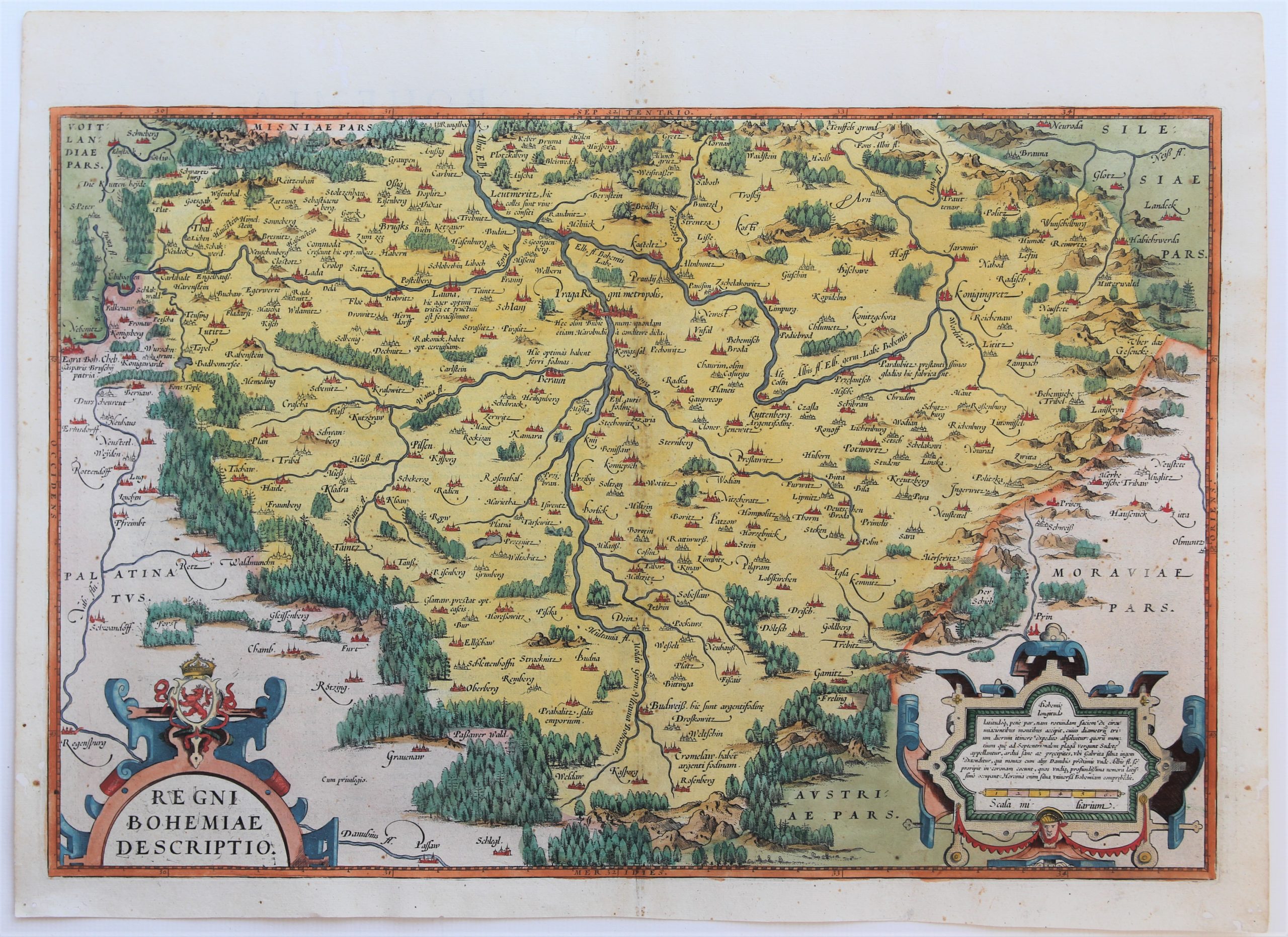
Regni Bohemiae descriptio
Detail
Date of first edition: 1570
Date of this map: 1595
Dimensions (not including margins): 33,6 x 51 cm
Dimensions (including margins): 39,8 x 54,2 cm
Condition: very good. Sharp engraving on strong paper. Centre fold as published; a few marginal worm holes filled in. Attractive original coloring. Wide margins
Condition rating: A
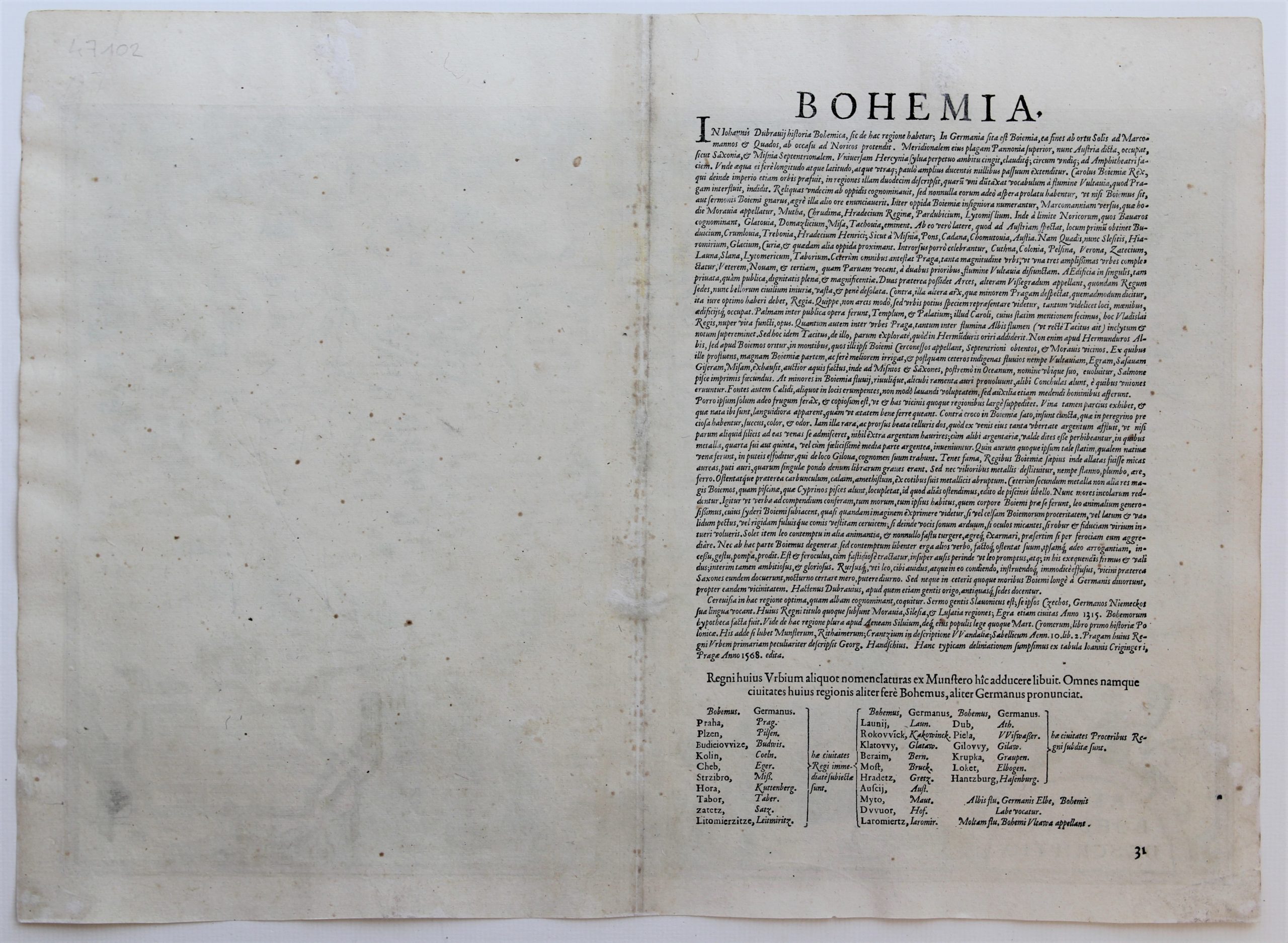
Verso: text in Latin
Map reference: Van der Krogt IIIB, 2850:31; van den Broecke 101
From: Theatrum Orbis Terrarum, Van der Krogt IIIB, 31:013; verso mention ’31’. Text in italics
In stock
Bohemia
Bohemia was a a dutchy of Great Moravia, later an independent principality, a kingdom in the Holy Roman Empire, and subsequently a part of the Habsburg Monarchy and the Austrian Empire. After World War I and the establishment of an independent Czechoslovak state, the whole of Bohemia became a part of the new state.
In 1993 the Czech Republic became independent, The preamble of the Constitution of the Czech Republic states: “We, citizens of the Czech Republic in Bohemia, Moravia and Silesia…”
This map
This map is derived from the 1568 map by Johann Criginger (1521 – 1571).
Translation of text in cartouche: “The length and width of Bohemia are almost the same, and it has a round appearance because of the surrounding mountains. Its diameter can be crossed in three days if there are no hindrances. From the mountains Northwards there are the Sudeten. They are steep mountains where the huge Gabritian forest extends itself. The mountains come together in the form of a wreath, together with those that are closer to the Danube, from which the river Elbe issues. Everything is covered by dense woods. The Hercynian forest thus covers all of Bohemia”
