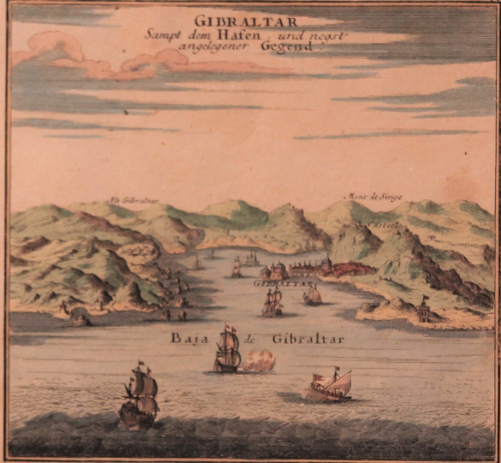
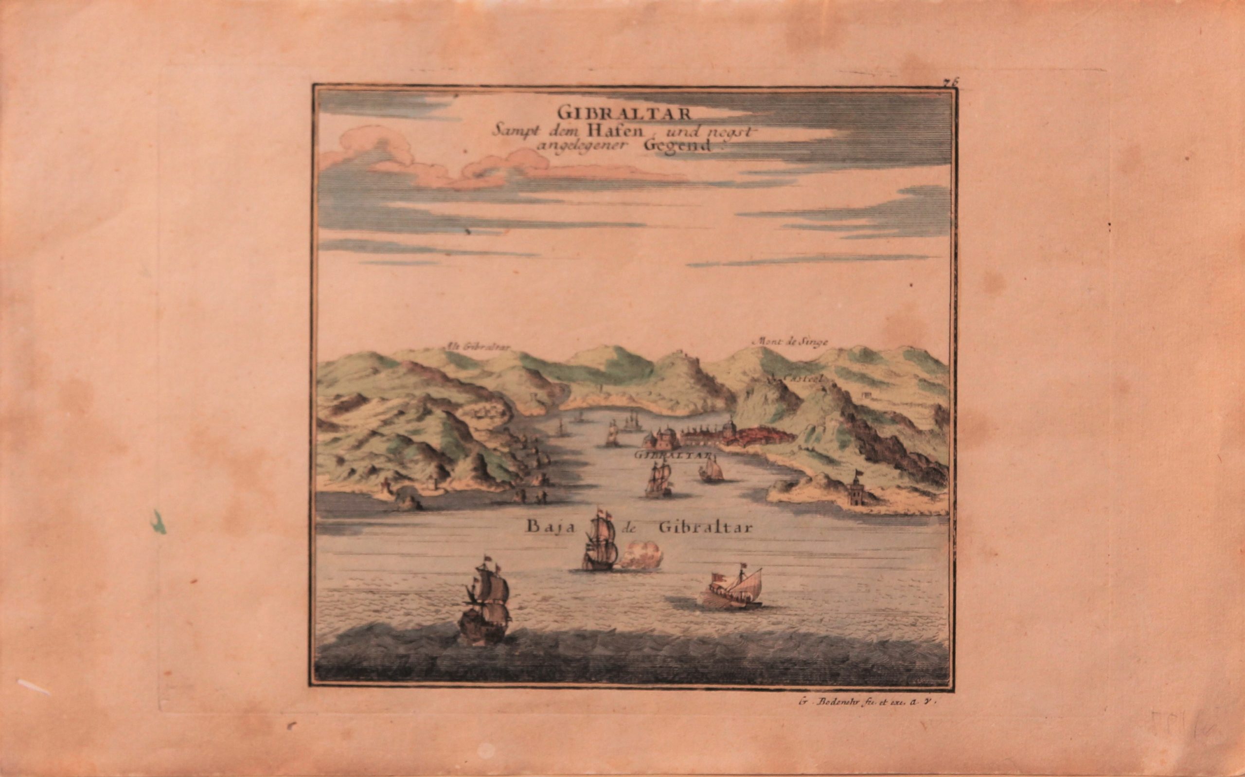
Gibraltar by Bodenehr
by
Gabriel Bodenehr
Detail
Date of this map: 1720
Dimensions (without margins): 16,5 x 15,5 cm
Dimensions (including margins): 32,5 x 20 cm
Condition: Good copper engraving. Slight general age-toning. Wide margins. With watermark. Two wormholes in margins.
Condition rating: A
Verso: blank
From: Force d’Europe, oder Die Merckwürdigst- und Führnehmste, meistentheils auch Ihrer Fortification wegen Berühmteste Staette (…), by Gabriel Bodenehr in Augsburg 1720.
Price (without VAT, possibly to be added): €75,00 (FYI +/- $83,25 / £66,75)
Unless otherwise specifically stated on this map page, we charge the following expedition costs in euro (unfortunatelly, gone up with Covid, but still too low in reality!):
– Benelux: 40 euro
– Rest of Europe: 60 euro
– Rest of the World: 100 euro
In stock
Gibraltar
Original title: “Gibraltar Samt dem Hafen und negst angelegener Gegend”
This map also mentions: Alt. Gibraltar, Mont de Singe and Casteel.
With large watermark on the view.
