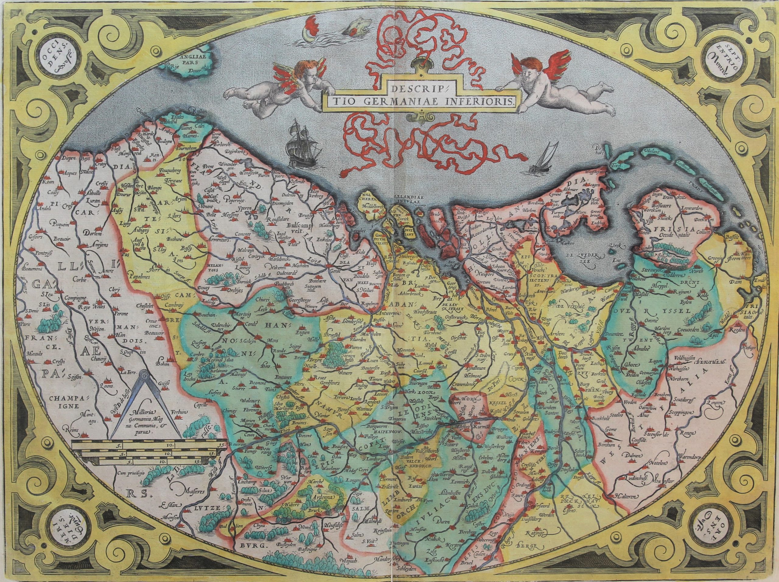
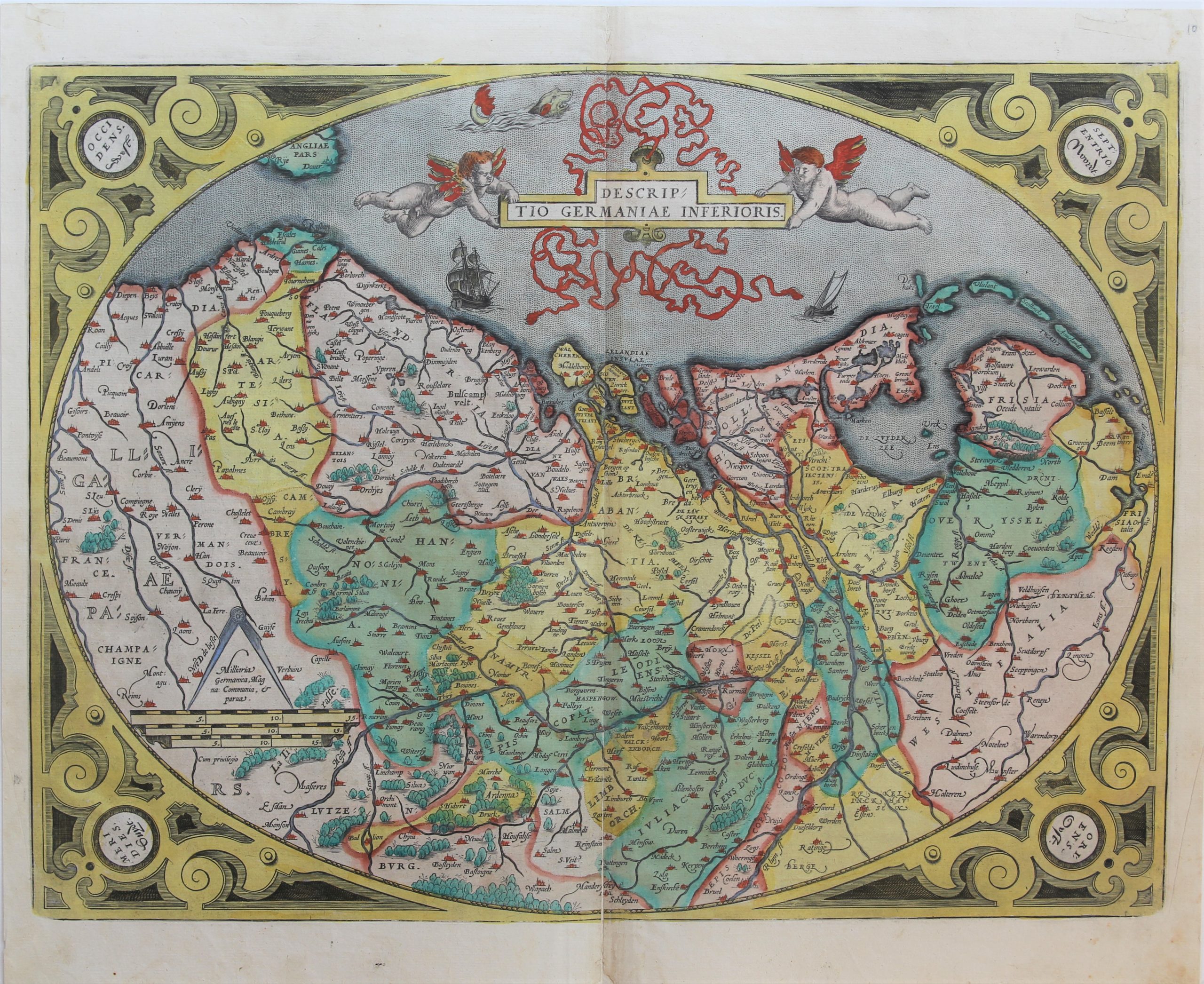
Germaniae Inferioris – XVII Provinces
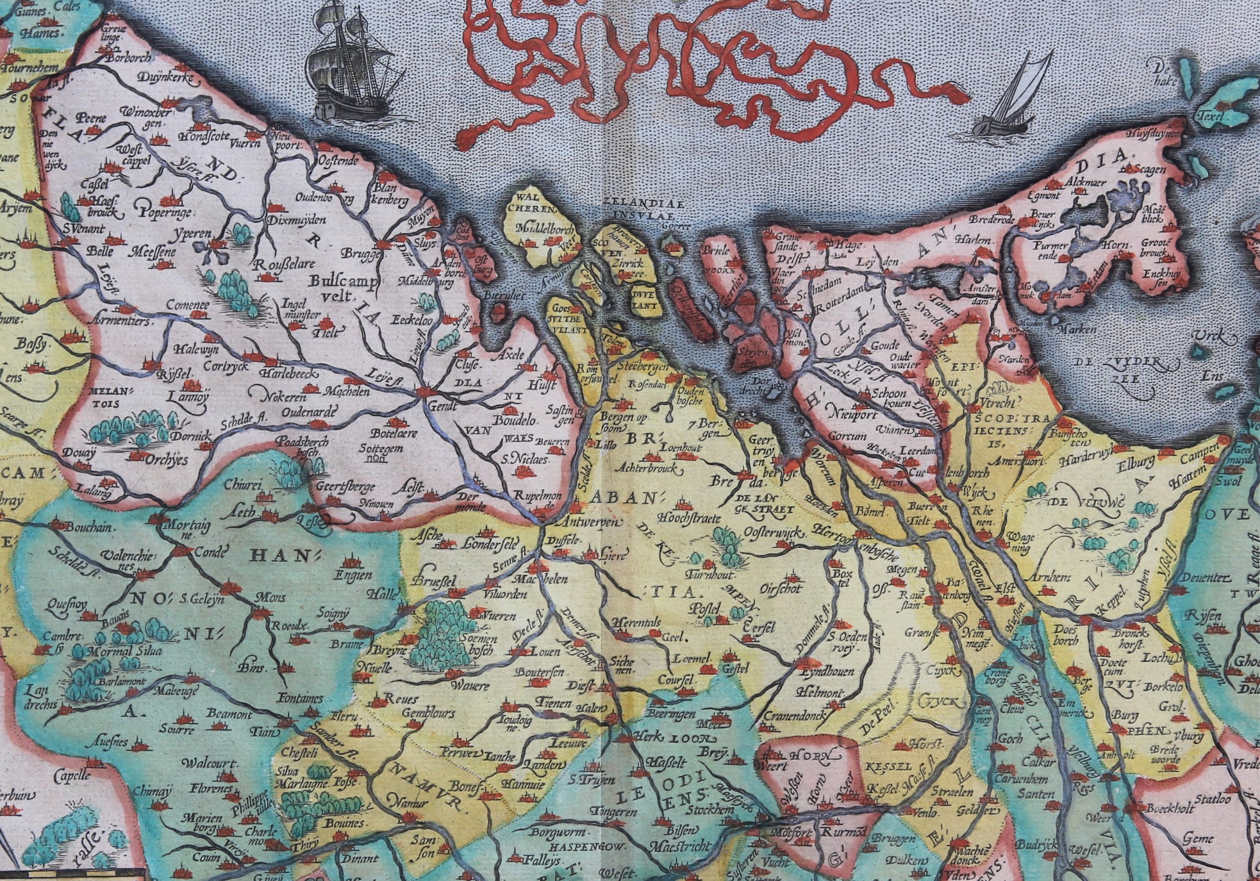
Detail
Date of first edition: 1570
Date of this map: 1592
Dimensions (not including margins): 38 x 50,4 cm
Dimensions (including margins): 44,6 x 53,6 cm
Condition: very good. Sharp engraving on strong paper. Small repair lower centre fold with some very light distortion along fold. Attractive original coloring. Wide margins
Condition rating: A
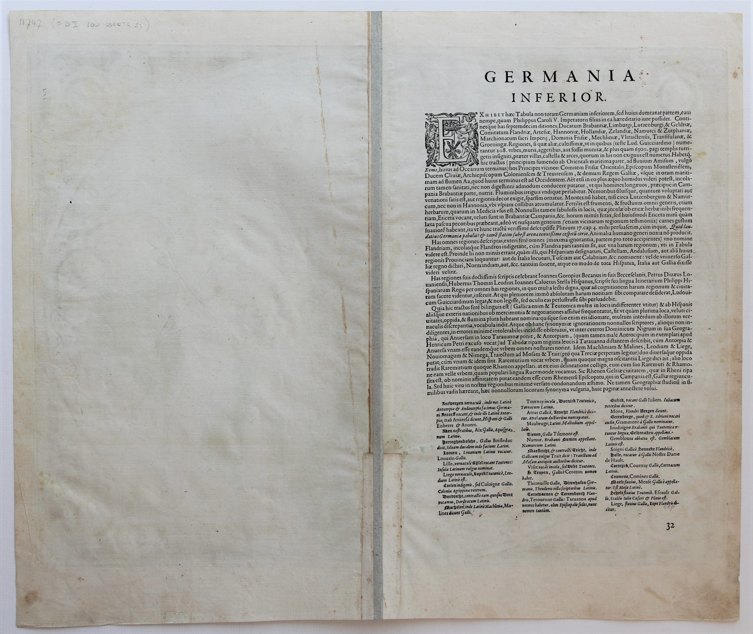
Verso: text in Latin
Map reference: Van der Krogt IIIB, 3000:31A; van den Broecke 158
From: Theatrum Orbis Terrarum, Van der Krogt IIIB, 31:041, verso mention ’32’. Last words in three colums: ‘dicunt Galli… Nomen Tantium…citur’
In stock
XII Provinces
The oval map of the Low Countries is also known as the ‘Egg’ map, because of its oval strapwork borders.
The title is adorned with ribbons and is held aloft by two winged cherubs.
From 1608 replaced by other (non-egg) map.
