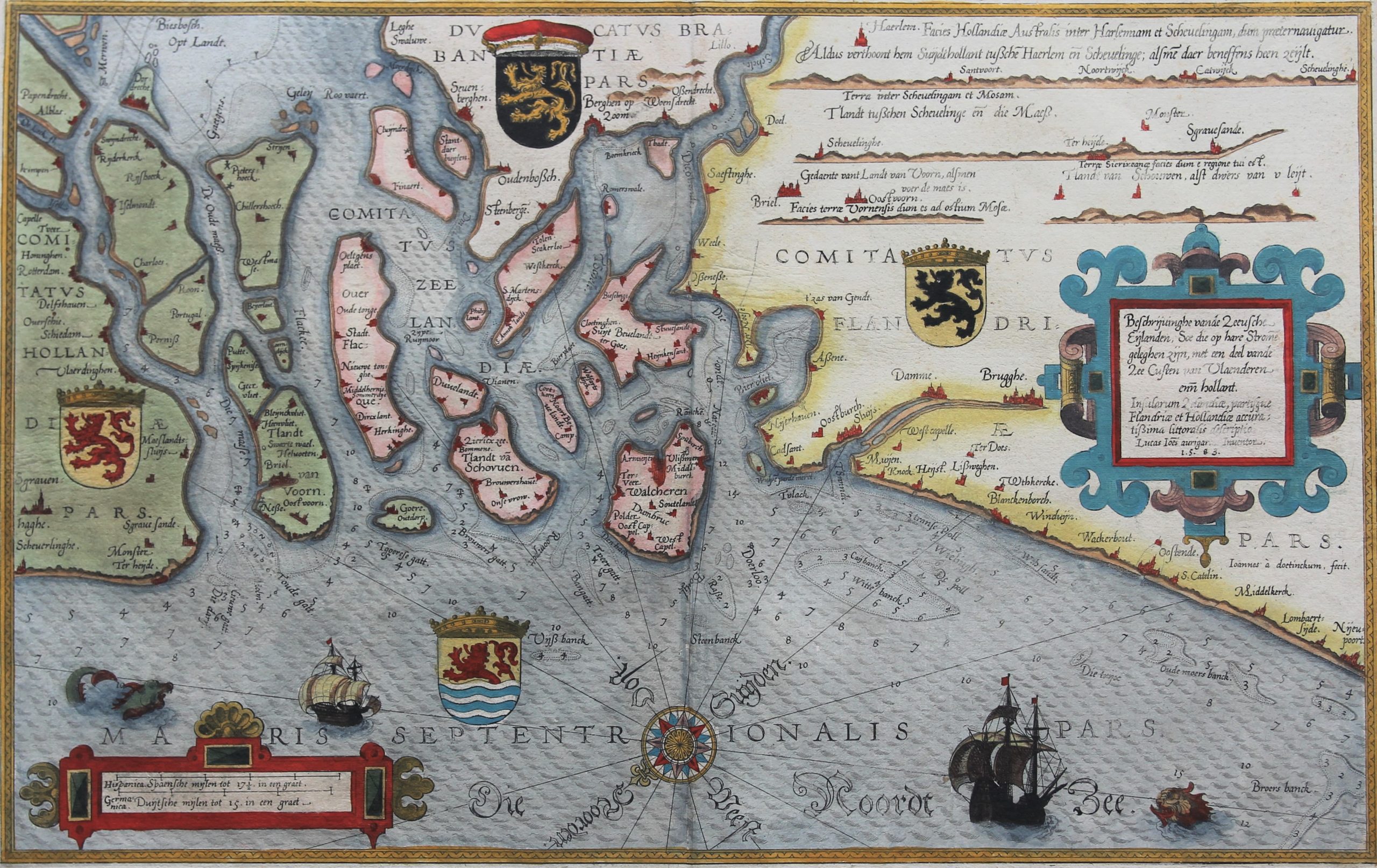
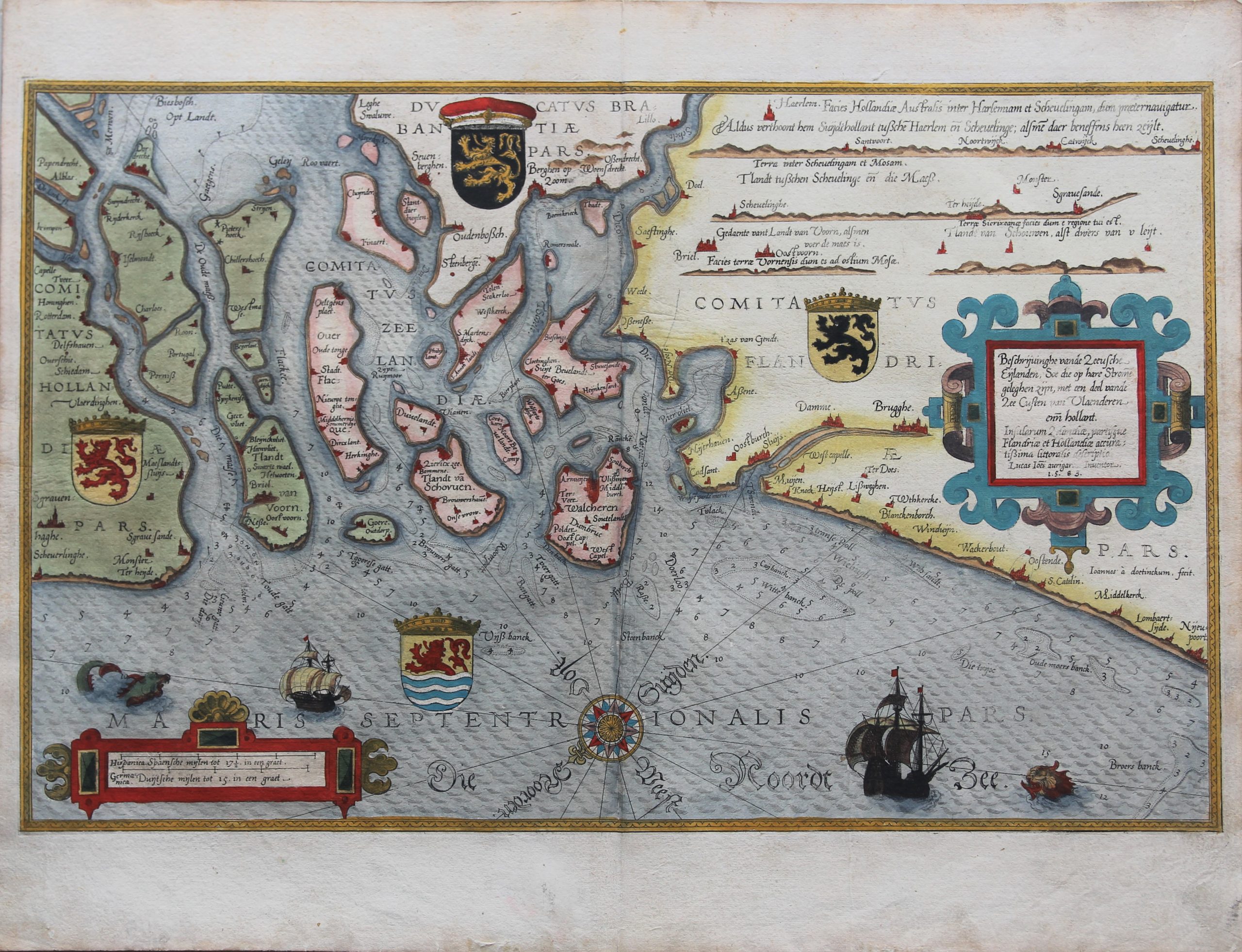
Zeeland and Vlaanderen
Sold with 27018
ON HOLD
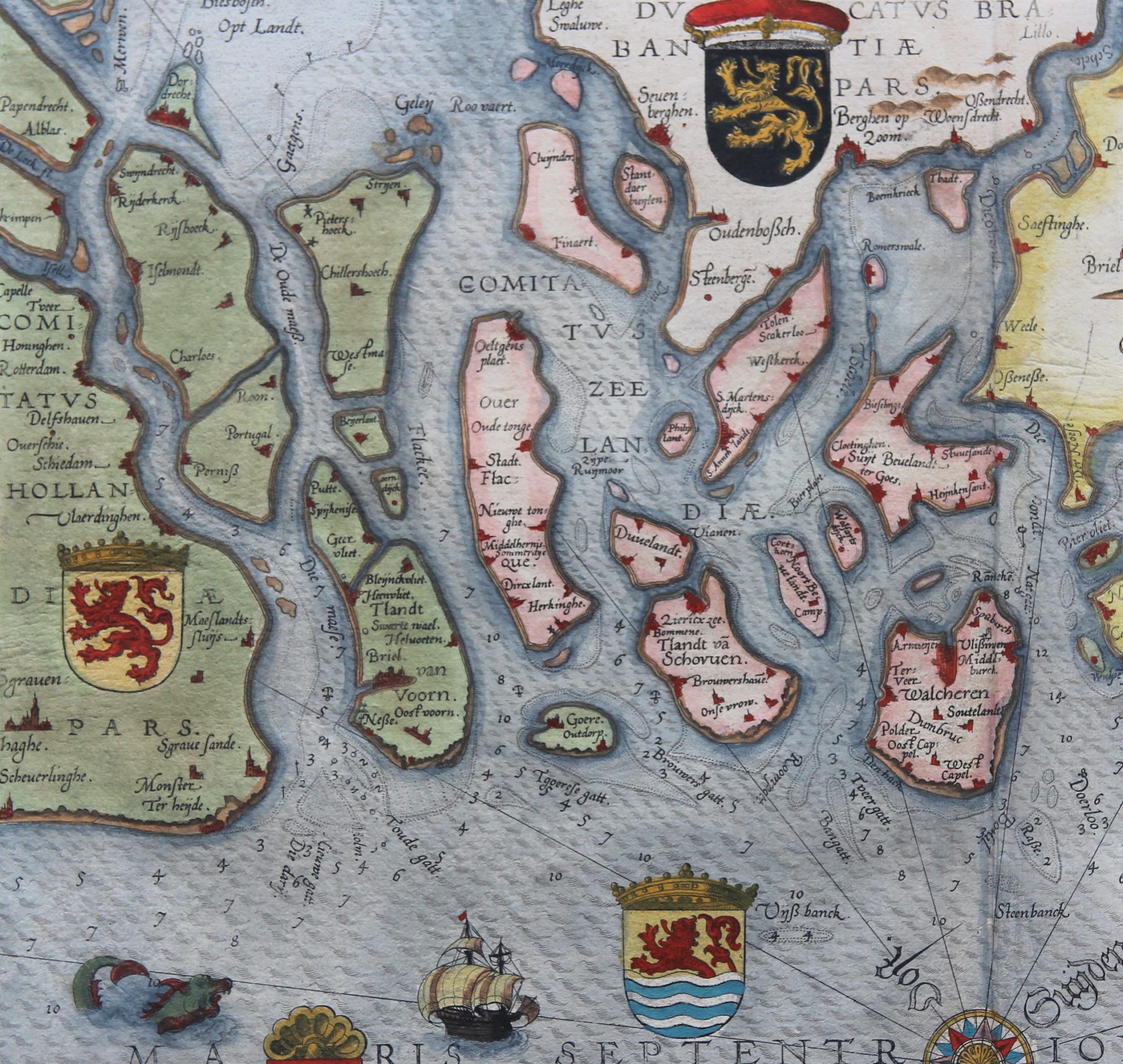
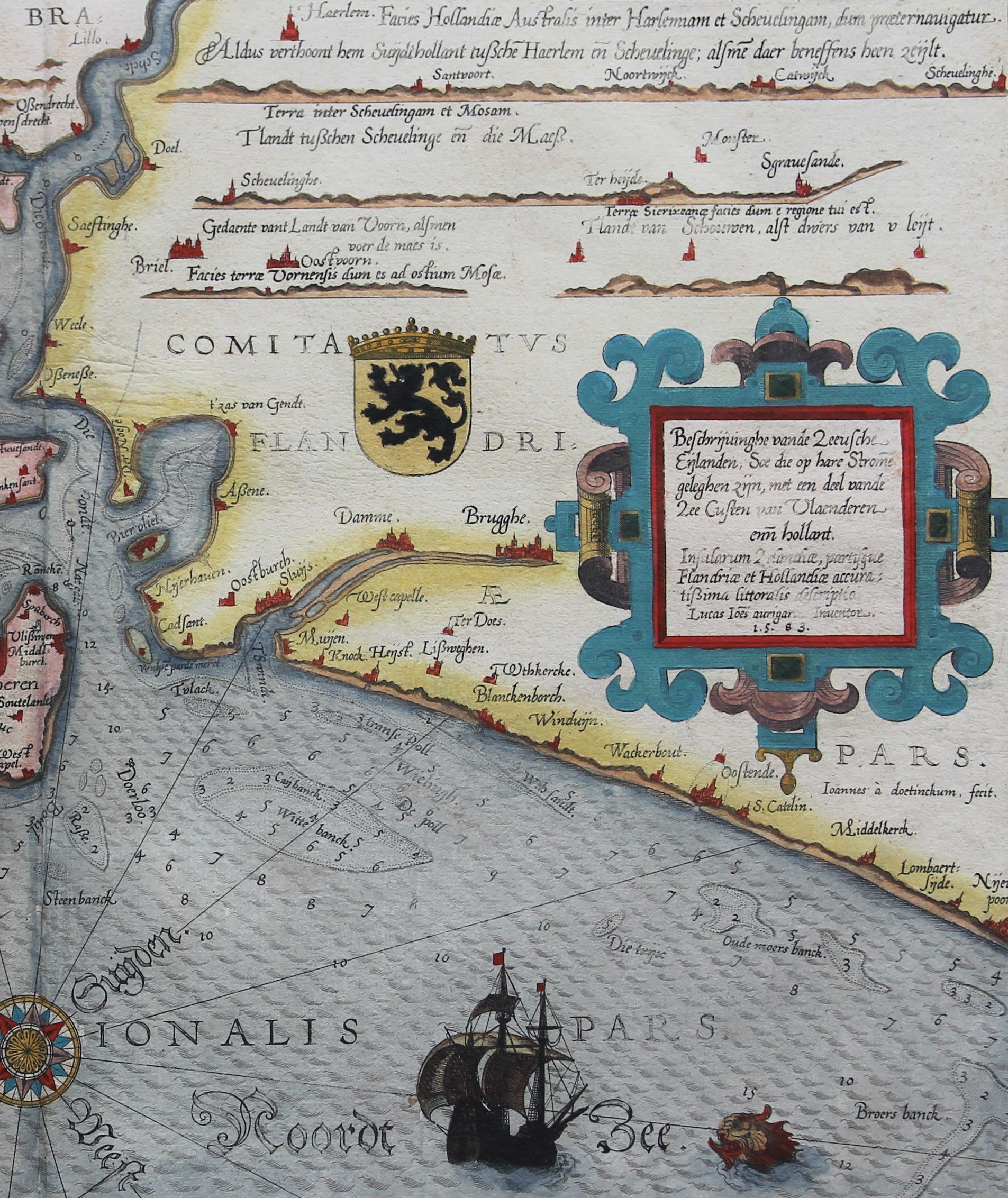
Detail
Date of first edition: 1584
Date of this edition: 1586
Dimensions (not including margins): 33,3 x 51,2 cm
Dimensions (including margins): 41,5 x 54,5 cm
Condition: Very good. Sharp copper engraving printed on strong paper. Old colouring. Centre fold as published. Wide margins. General slight age-toning.
Condition rating: A+
Verso: text in Latin
From: Pars Prima Speculum Nauticum super navigatione maris Occidentalis confectu…, page 3
(Spieghel der Zeevaerdt, vande navigatie der Westersche zee Innehoudende alle de Custen van Franckrijck, Spaignen, en t’ principaelste deel van Engelandt, …)
This item is sold
Waghenaer
The illustration depicts L. J. Waghenaer’s marine atlas, “The Mariner’s mirror”, published from 1584.
Lucas Janszoon Waghenaer was born in Holland in the 1530s. He became a famous ship pilot of his time. In 1584 he published the atlas (“Spieghel der Zeevaerdt”), which was greatly valued among mariners for centuries. This was not only because of its map content, but also because of a detailed knowledge of navigation techniques of that time. When it was translated from Dutch to English, the atlas appeared with a title page we are using on our home page.
On this map
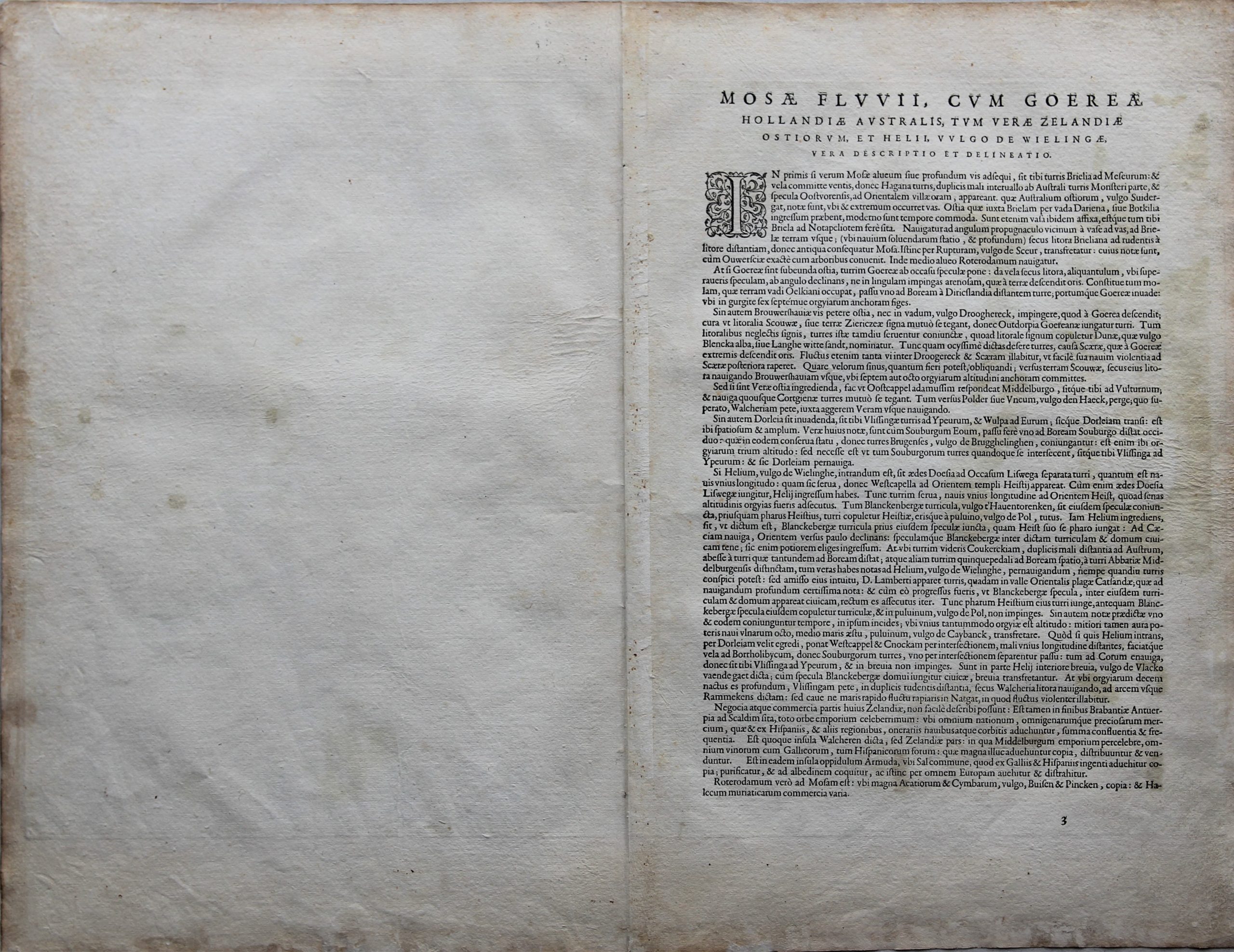
This sea chart is unique. It shows the coast of a part of Flanders, inland Brabant, Zeeland and Holland with an illustration of the four coats of arms: the Duchy of Brabant, and the counties of Flanders, Zeeland and Holland. The heraldic distinction is reflected in the crowns above the shields.
The entire coastal area from Scheuerlinghe (near Sgrauenhaghe) to Neijeupoort is shown. One notices the water landscape where several islands scattered, especially in Zeeland,which now often form a n almost continuous land area. Even Biervliet is an island!
The map mentions Rotterdam, the island of Walcheren, the island of Dordrecht and … Brugghe still “usably” connected to the sea! However, from the 12th century the Zwin flowed only as far as “outer harbor” Damme, which meant that all goods destined for Bruges had to be transferred to smaller ships there. Antwerp is just not shown, Lillo and Doel are.
The coastal relief is shown at the top right.
The title: Beschrijvinghe vande Zeeusche Eijlanden Soe die op hare Strome geleghen zijn
The map is also known as the Zeeland chart of Waghenaer.
The map was engraved by B. & J. van Doetecum.
Koeman on this map
“Thanks to the unparalleled skill of the engravers, Baptist and Johannes van Deutecom, the original ms. charts by Waghenaer were transformed into the most beautiful maps of the period. The composition and the adornment have greatly contributed to the splendour of what originally were simple sketch-charts.” (Koeman, Atlantes Neerlandici)
