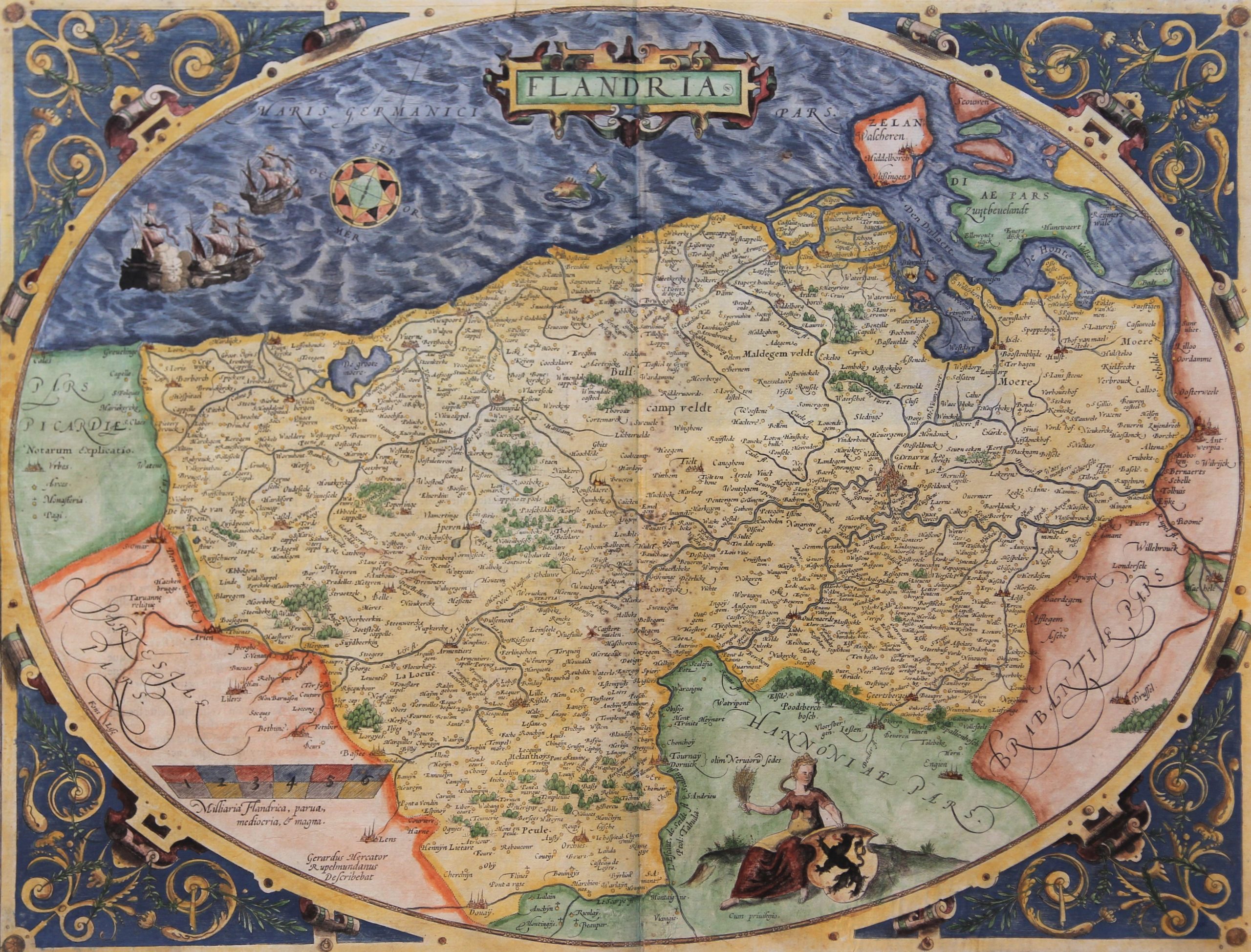
Flandria or Flanders
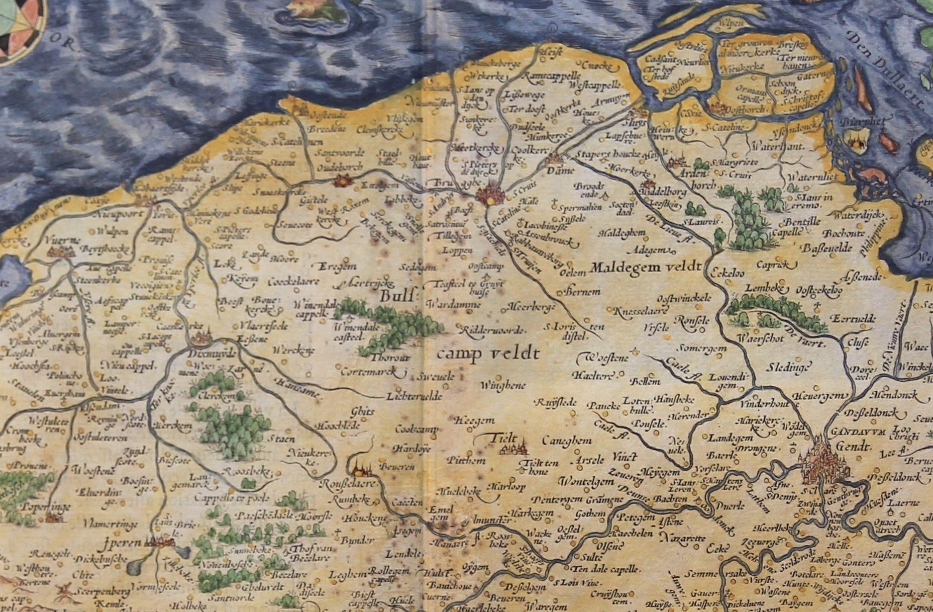
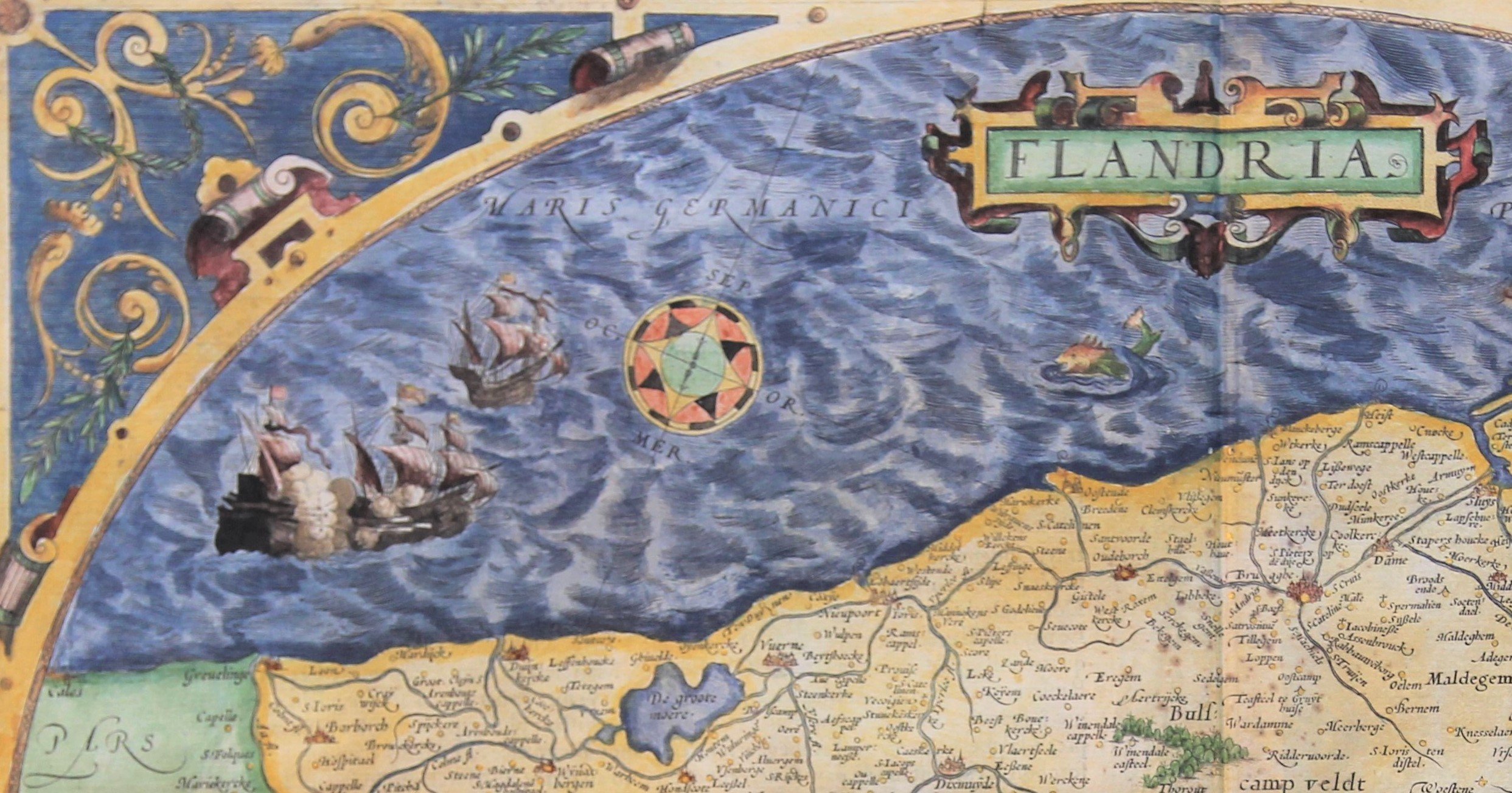
Detail
THIS ITEM IS ON HOLD.
Date of first edition: 1570
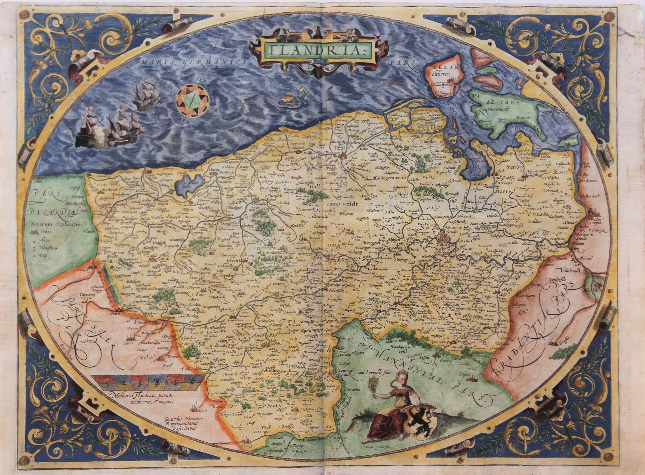
Date of this map: 1572
Dimensions (without margins): 38 x 50 cm
Dimensions (with margins): 39,6 x 54 cm
Condition: Good engraving. Normal age-toning. Normal margins, with exception of top. Centre fold as published. Nice (not original) colouring with cities in gold dots.
Condition rating: A/B
Verso: text in French
Map reference: Van der Krogt 3200:31B; Van den Broecke, 175
From: Theatrum Orbis Terrarum, page 17. Van der Krogt 31:301
This item is sold
Flandria, Mercator’s map
The «egg» 19 of Flanders is one of the most famous maps by Ortelius, not only because of its special shape. Ortelius used this format for his world map (oval shape), the continent of America (only circular at the corners) and in two real egg shapes: the map of Germania Inferioris and this map.
This map became famous because it was made after a design by Mercator, as mentioned in the lower left corner of the egg (describebat). Mercator (and consequently also Ortelius) publishes a total of three maps in egg shape: he applied the same design for his maps of the XII Provinces and for the entire American continent (4 editions).
Near Dendermonde) on the left river bank of the Scheldt: this mistake was copied by many cartographers who copied the map. And so the copyists were exposed.
The historic county has “lost” a lot of territory over time:
- in the southwest a whole strip of Romanesque Flanders runs from Dunkirk (with the border town of Grevelingen on the coast across Lille to Tournai.
- the southern bank of the River Scheldt to Antwerp
The areas outside the county are filled with calligraphic decorative letters. This way of writing was an innovation of Mercator. The waves in the water are typically 16th century; they are replaced in the 17th century by a neutral designation. From 1579 the farmer’s wife is replaced by a bourgeois woman.
From 1592, a whole new map is engraved with the omission of the egg shape.
