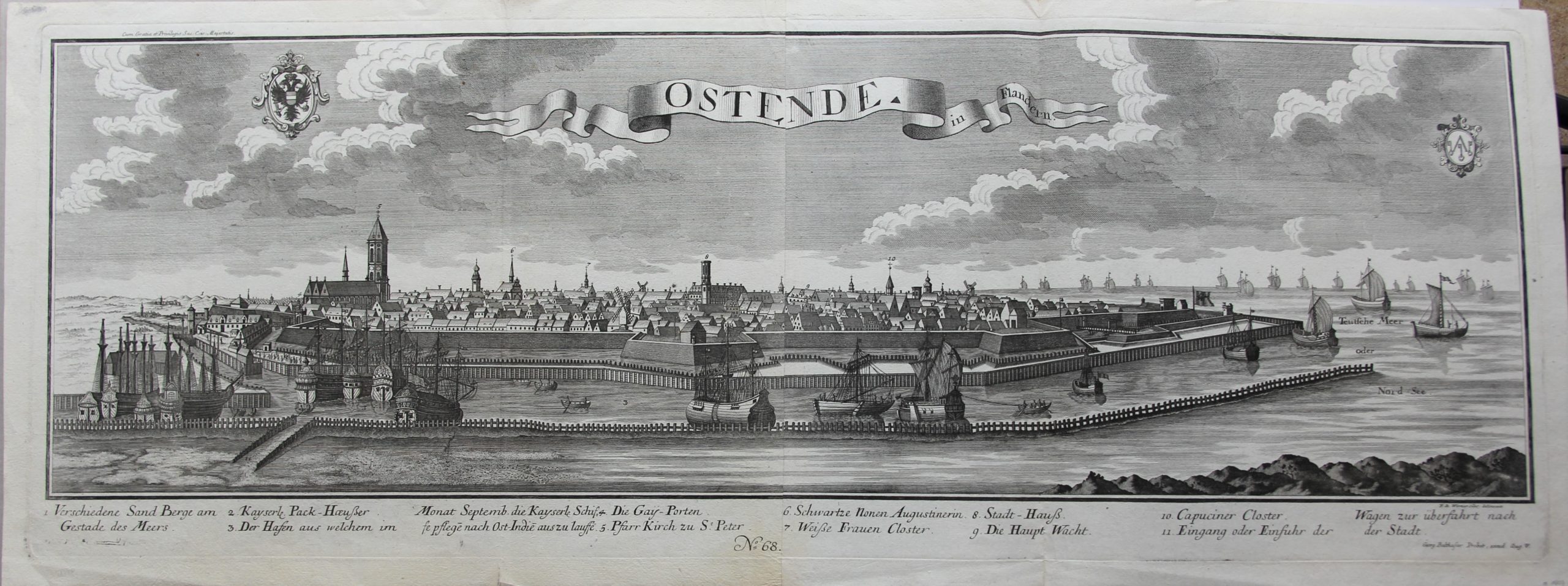
Ostend
Stunning extra large view
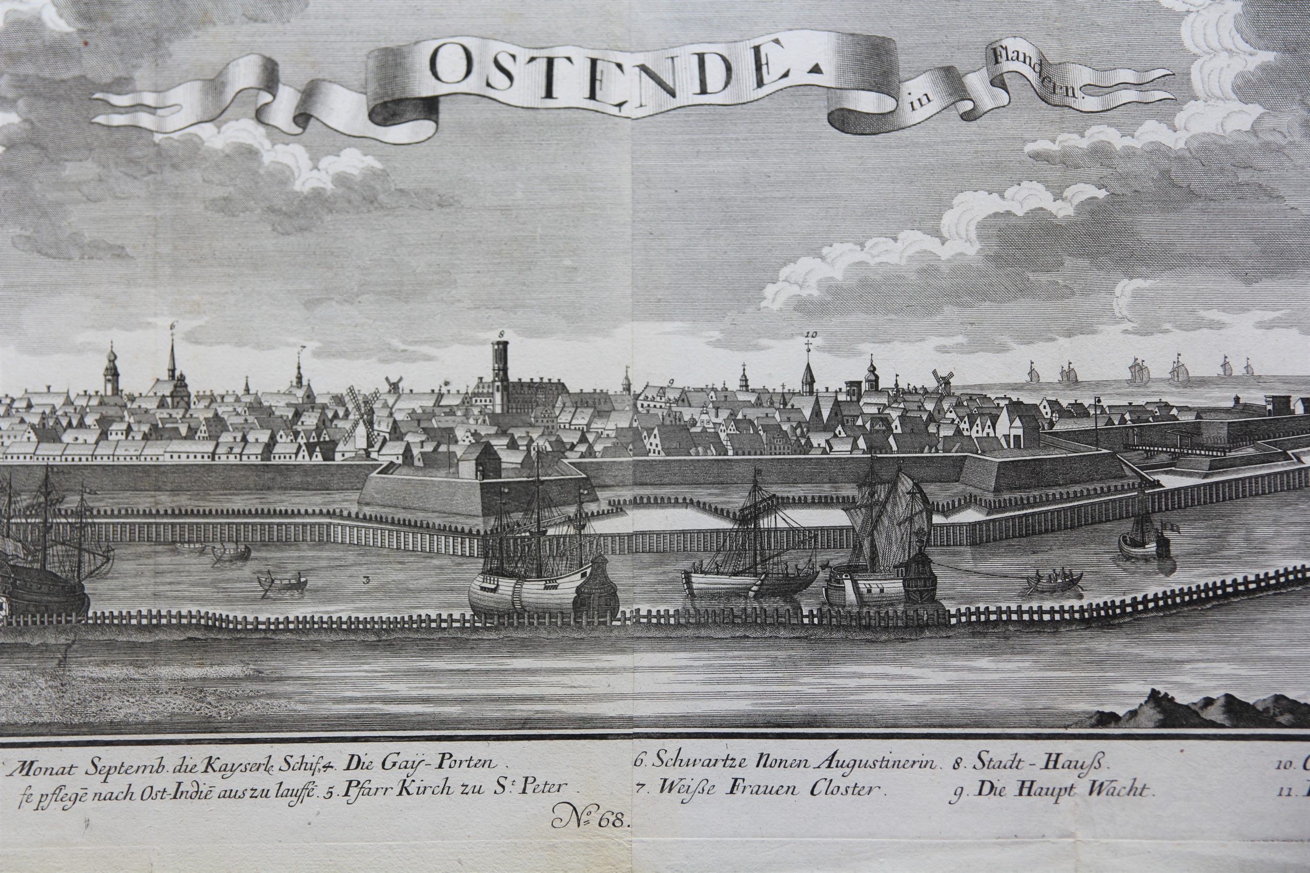
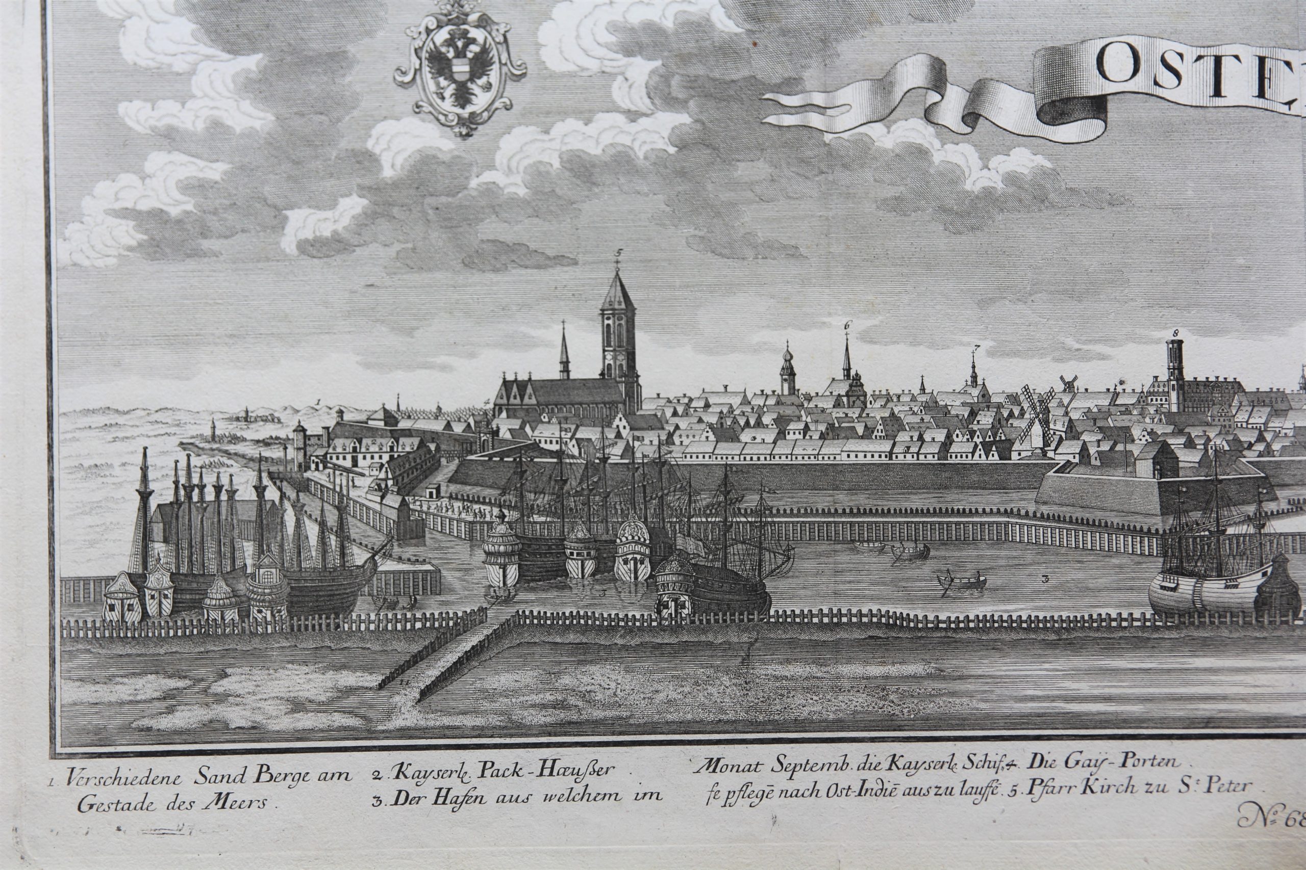
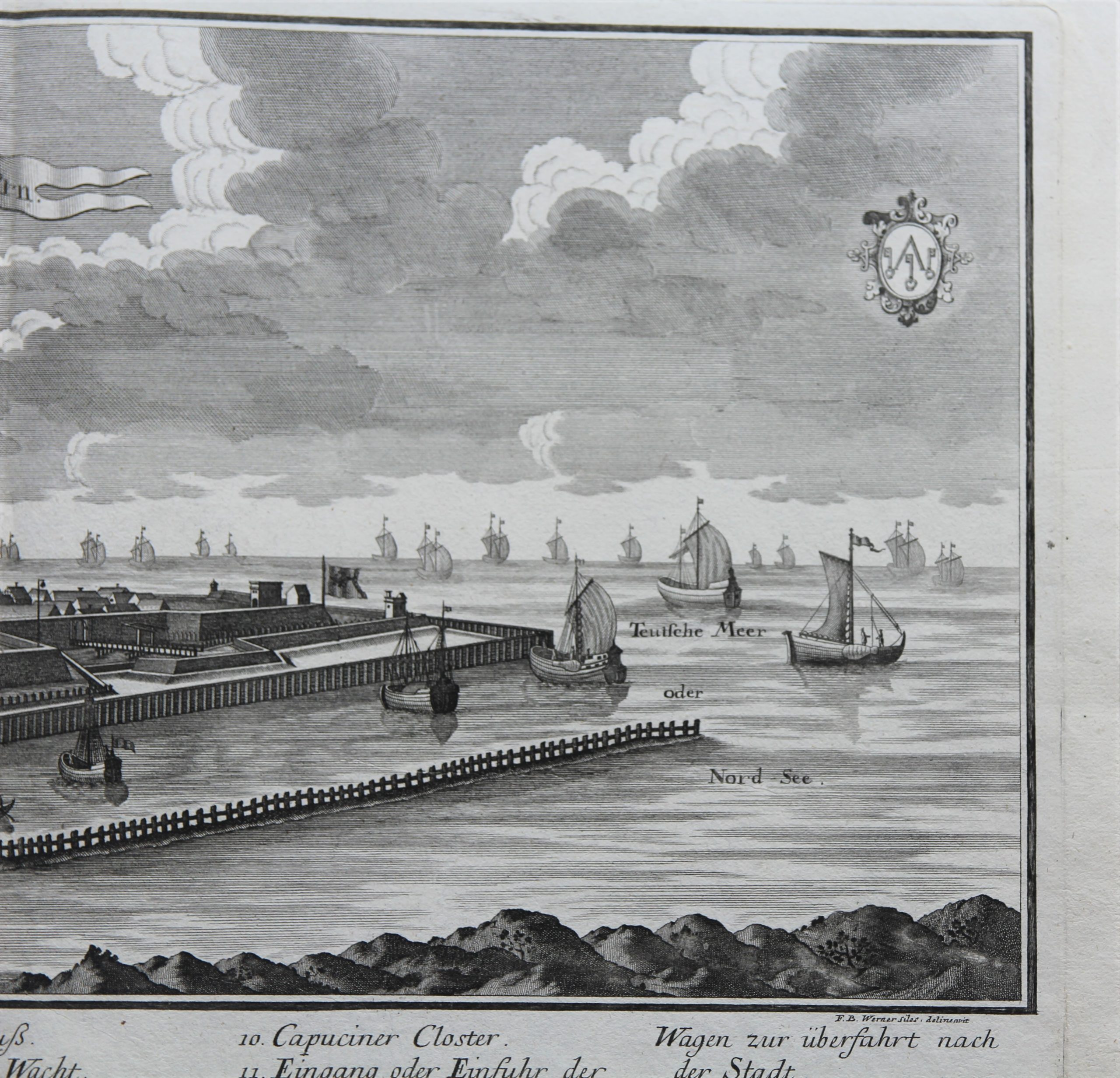
Detail
Date of first edition: 1729
Date of this map: 1729
Dimensions copper plate with text (without margins): 36,5 x 101,7 cm
Dimensions of the sheets (including margins): 40 x 105,5 cm
Condition: Excellent. Copper engraving on strong paper with wide margins. Printed on two sheets, joined. No central fold but a fold in the middle of each sheet. Tiny tear in bottom of left fold but only in bottom part of margin (see picture).
Condition rating: A+
Verso: blank with blue stamp
Map reference: Verbouwe, Oostende, 322.
This item is sold
Ostend
Probst is well know for making these panoramic views of European cities.
In 1729 the city was completely rebuilt after the siege of 1600-1604. Ostend was then still under Spanish control.
By the peace treaties of Utrecht and Rastatt in 1713/14 ending the war, the Southern Netherlands returned to the Austrian Habsburg Monarchy forming the Austrian Netherlands.
