Armillaria
by
Joan Blaeu
Detail
Date of first edition: 1662
Date of this edition: 1664
Dimensions (not including margins): 27 x 41,5 cm
Dimensions (including margins): 31,5 x 52,8 cm
Condition: Mint. Sharp copper engraving printed on strong paper. The band on the right margin is the original band put on the folding of the page.
Condition rating: A+
Verso: text in Dutch
Map reference: Van der Krogt P-Brahe#11:2
From: Grooten Atlas, oft Werelt- Beschryving, in welcke ‘t Aerdryck, de Zee, en Hemel, wort vertoont en beschreven. Van der Krogt 2, 2621
Price (without VAT, possibly to be added): €600,00 (FYI +/- $666,00 / £534,00)
Unless otherwise specifically stated on this map page, we charge the following expedition costs in euro (unfortunatelly, gone up with Covid, but still too low in reality!):
– Benelux: 40 euro
– Rest of Europe: 60 euro
– Rest of the World: 100 euro
In stock
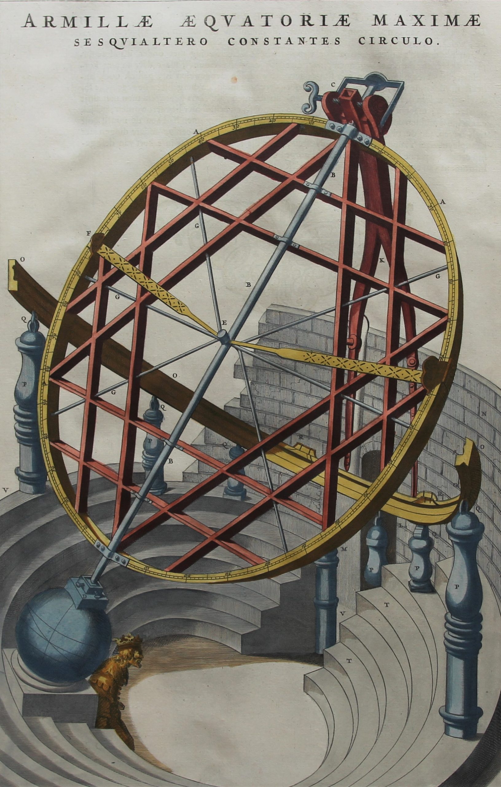
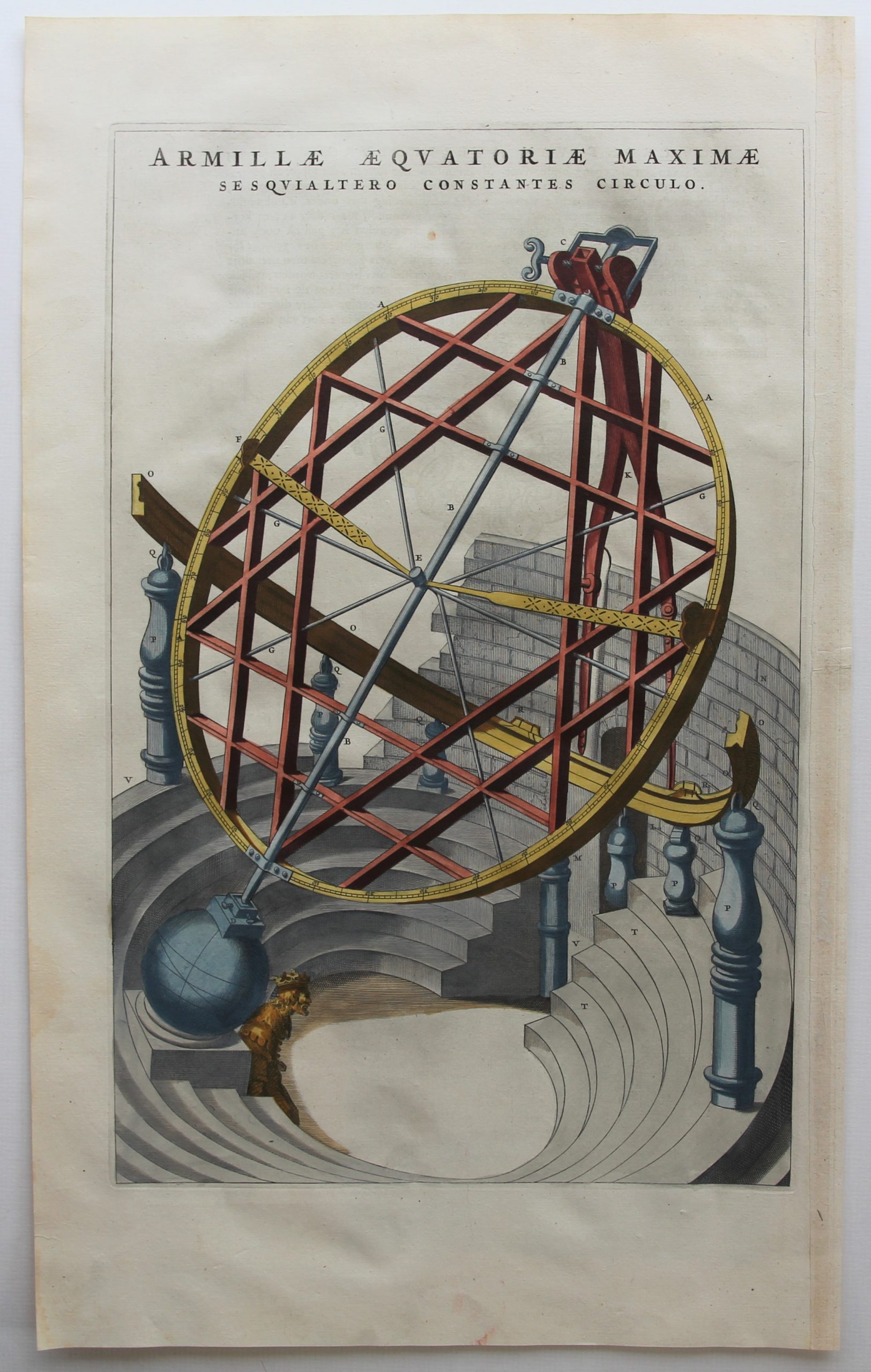




The armillaria
An armillary sphere is model of objects in the sky, consisting of a spherical framework of rings, centered on Earth and the Sun, that represent lines of celestial longitude and latitude and other astronomically important features, such as the ecliptic. As such, it differs from a celestial globe, which is a smooth sphere whose principal purpose is to map the constellations. It was invented separately in ancient Greece and ancient China.
Advances in this instrument were made by Danish astronomer Tycho Brahe (1546–1601), who constructed three large armillary spheres which he used for highly precise measurements of the positions of the stars and planets. They were described in his Astronomiae Instauratae Mechanica.
The armillary sphere survives as useful for teaching, and may be described as a skeleton celestial globe, the series of rings representing the great circles of the heavens, and revolving on an axis within a horizon.
Original title: Armillae Aquatoriae Maximae I Seaquialtero Constantes Circulo