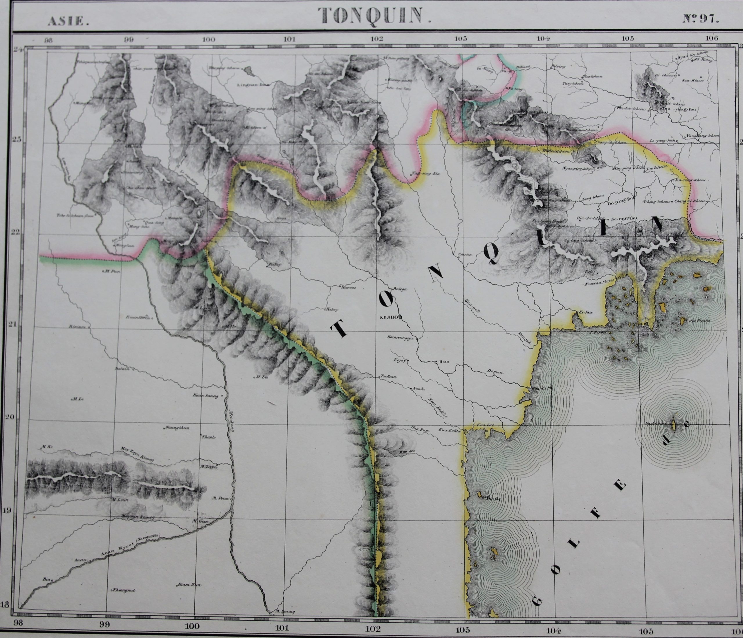
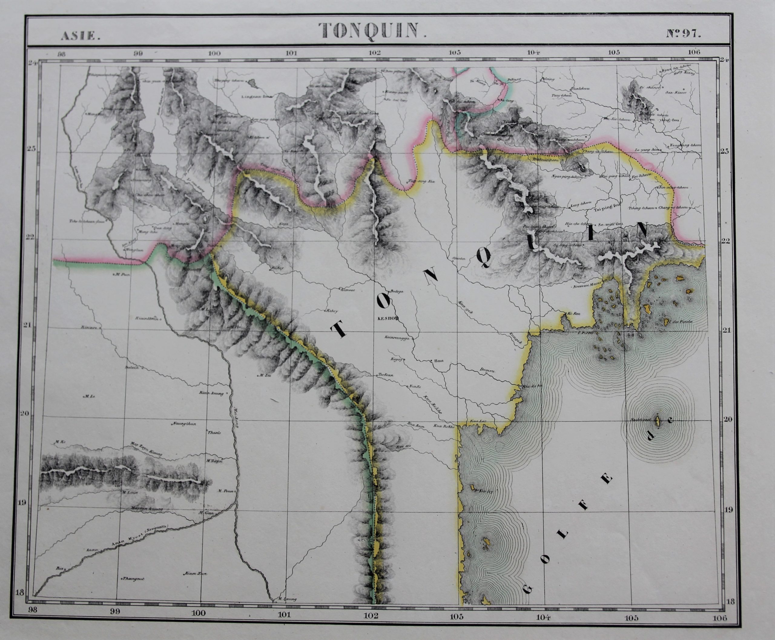
Tonquin – Vietnam
Large detailed map
Detail
Date of first edition: 1825
Date of this map: 1827
Dimensions (not including margins): 46 x 54 cm
Dimensions (including margins): 52,5 x 72,5 cm
Condition: Very good. Sharp engraving on strong paper. Wide margins.
Condition rating: A+
Verso: blank
From: Atlas Universel, map 97
In stock
Philippe Vandermaelen
From the 1820s, Vandermaelen systematically collected geographical data. After three years of work, this doctor’s son and self-taught artist published a first edition of the Atlas Universel in 1827, a world atlas on 400 folios (373 maps and 6 composite maps).
The atlas was drawn up according to the conic section: a globe with a diameter of 7.55 meters could be made from it. It was the first world atlas in which all maps were made on the same scale (1: 1,641,836) and the first atlas made with the technique of lithography, a technique that was not yet widely used in scientific circles.
He mapped certain areas from Australia, New Zealand and the United States for the first time. This atlas brought him world fame; now he is still commended for this.
This Kesho is current day Hanoi.
