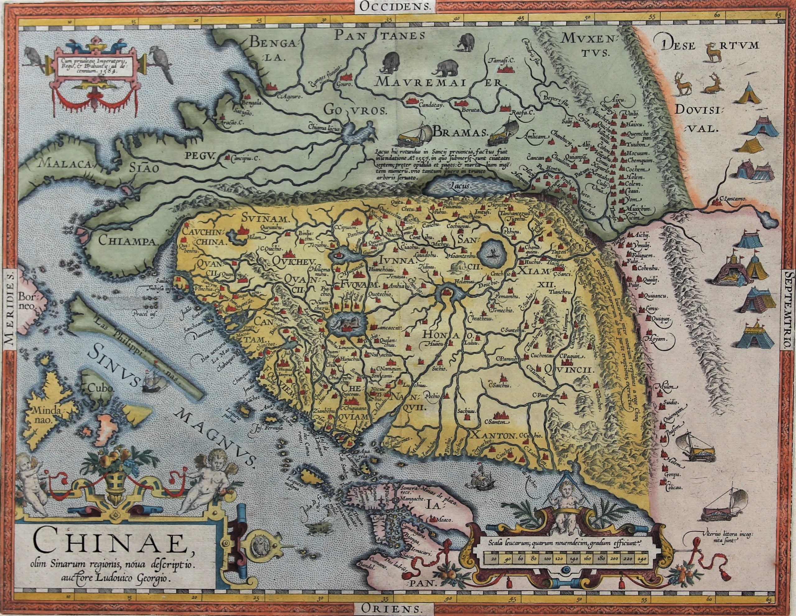
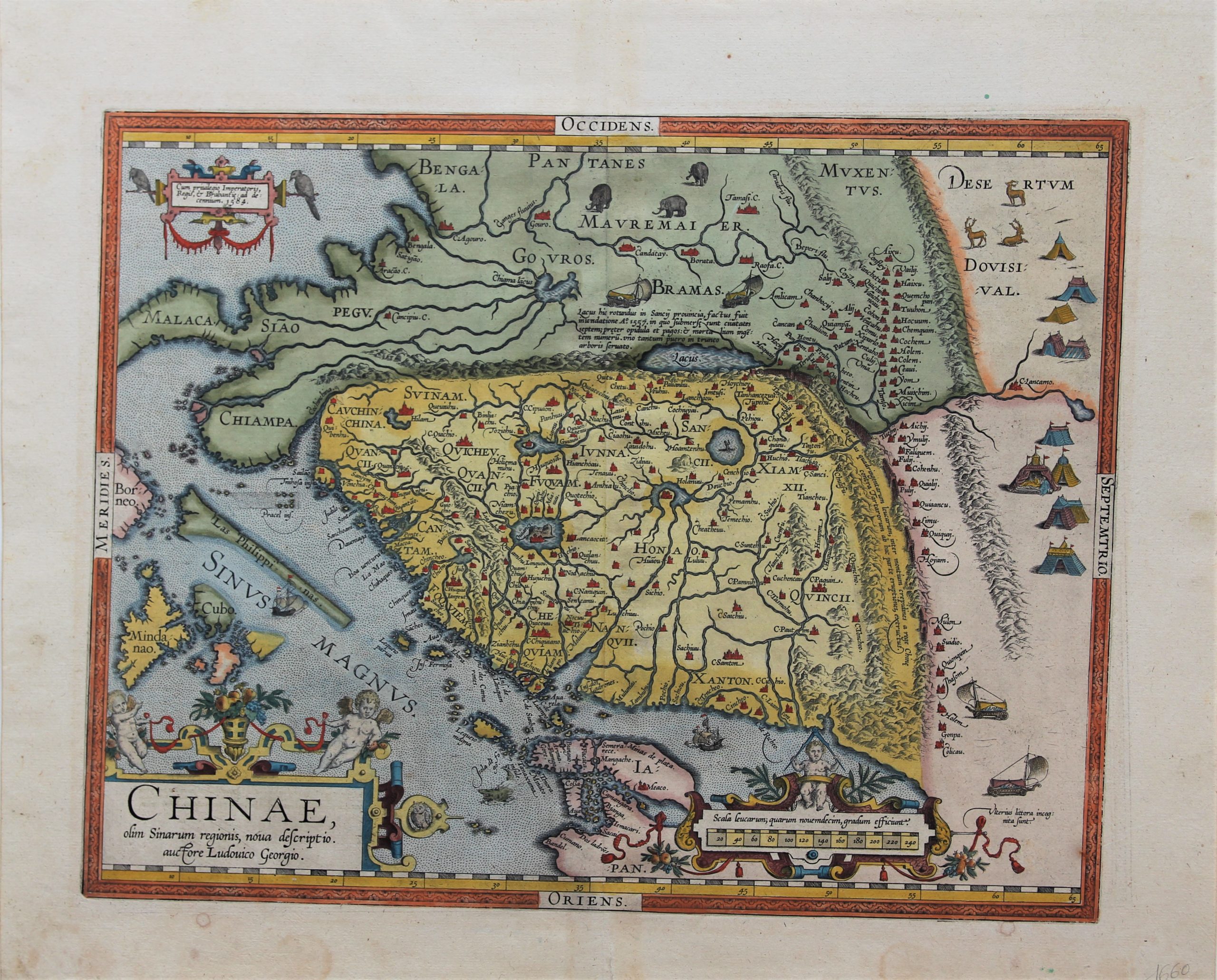
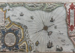
China – China olim Sinarum regionis, nova descriptio
Ming China, the first Western map
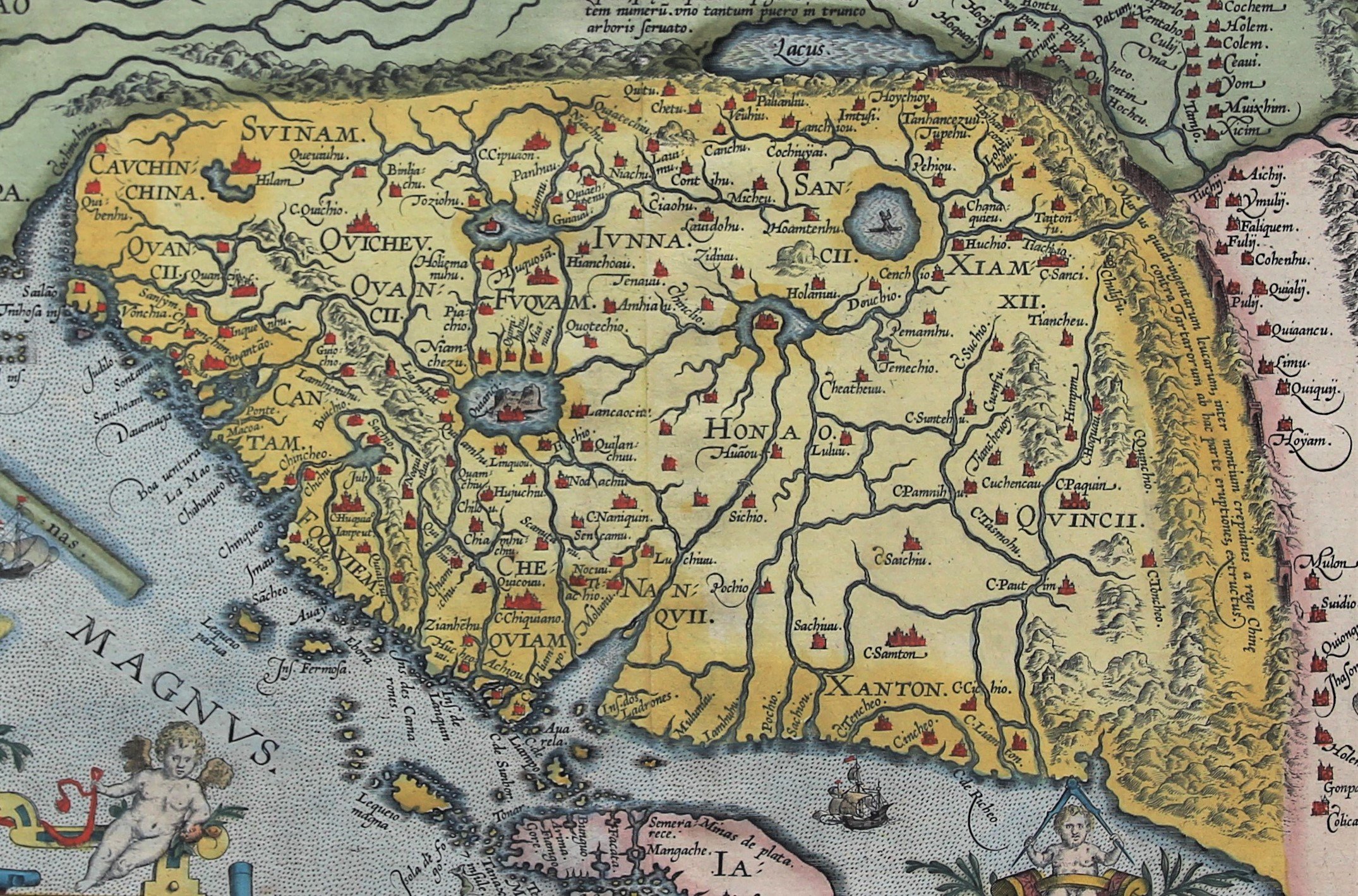
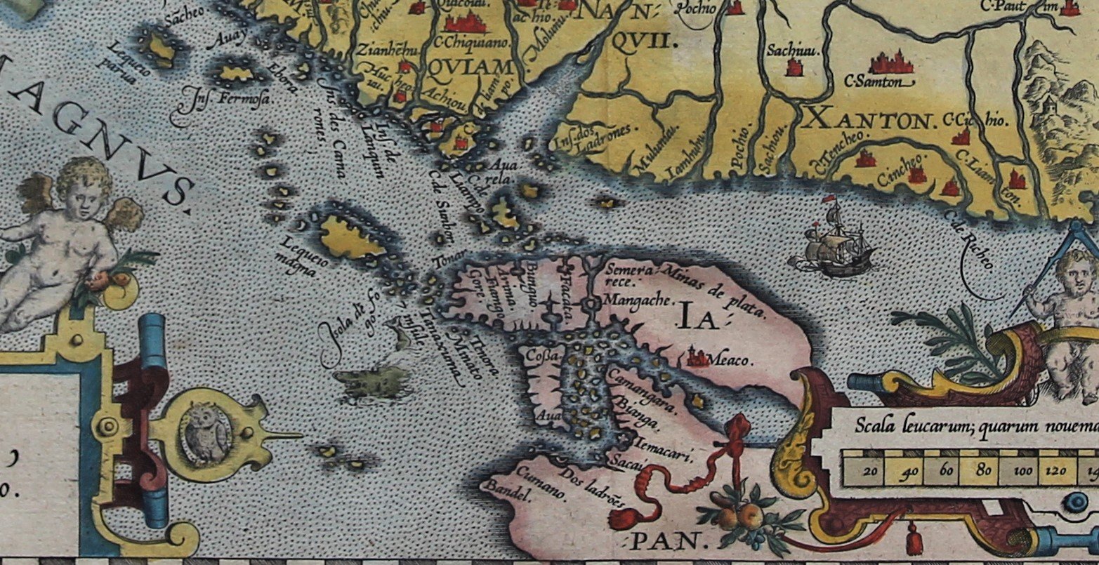
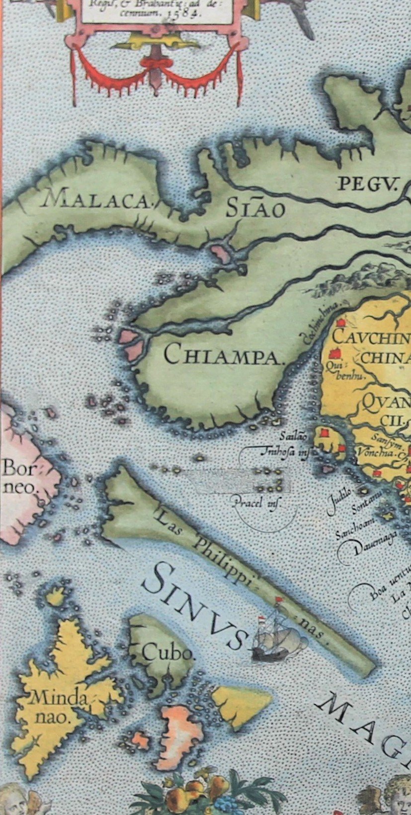
Detail
Date of first edition: 1584
Date of this map: 1609-1612
(this is the b variant of the map with “Las Philippinas” added above “SINUS MAGNUS”.
Dimensions (not including margins): 37 x 47 cm
Dimensions (including margins): 46 x 56,1 cm
Condition: Excellent. Sharp print on hard paper. Centre fold as published. Slight age-toning. Wide margins. Verso: traces of previous framing
Condition rating: A+
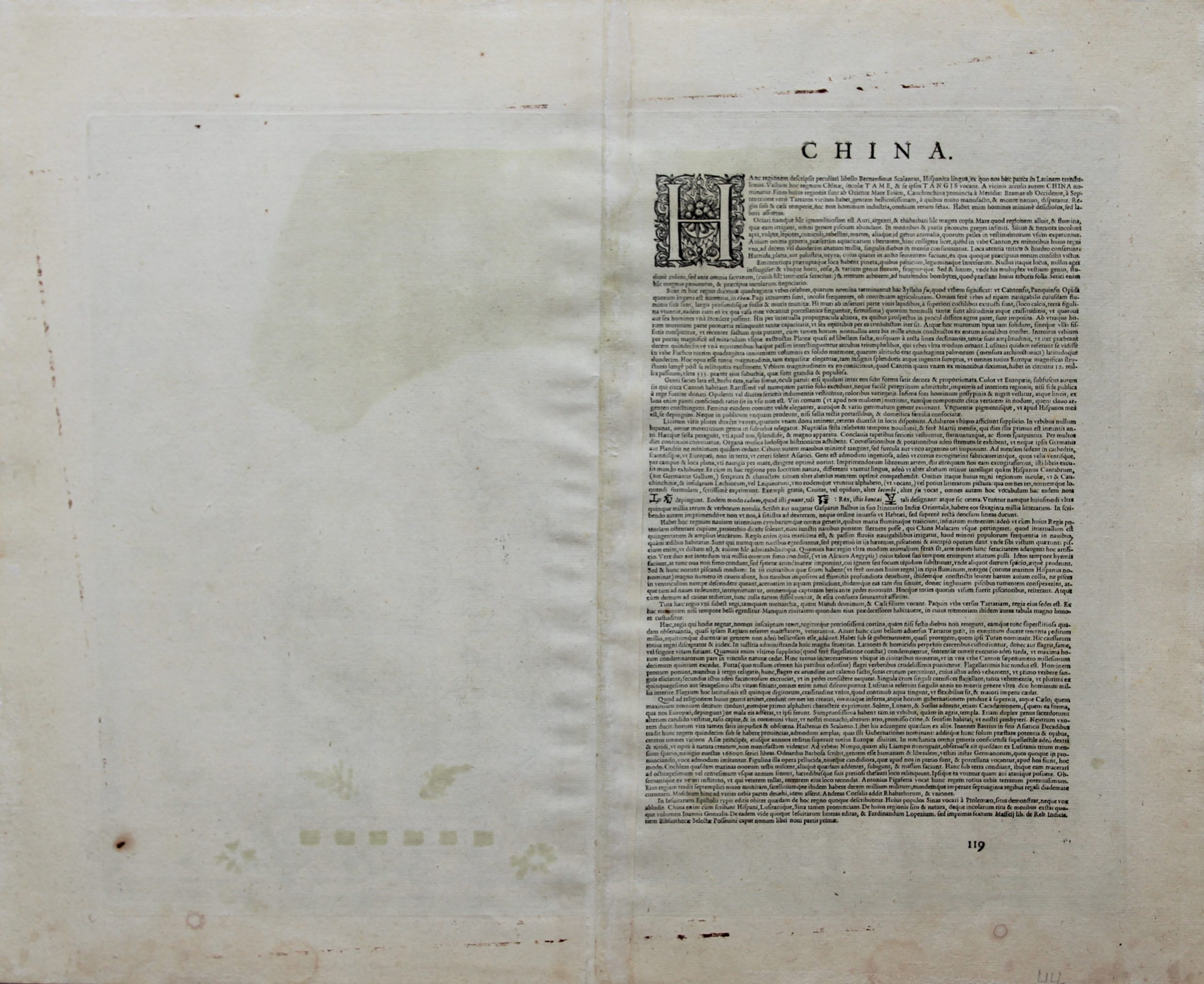
Verso: text in Latin
Map reference: Suarez (1999) “Early Mapping of South-East Asia”, Periplus, p. 164-170, Figure 88. ; Van den Broecke, 164; Nebenzahl, K. Mapping the Silk Road and Beyond 4.6; Tooley, Maps and Mapmakers, p. 106, pl. 78 (p. 108); Walter, L. Japan: A Cartographic Vision 11F, p. 186. Van der Krogt III, 8410:31; Bayton Williams New Worlds p. 41
From: Theatrum Orbis Terrarum by J.B. Vrients; Van der Krogt III, 31:054-055, page 119
In stock

Ortelius and Ming China
In 1584 Ortelius published this Chinae, olim Sinarum regionis, nova descriptio, the first modern map of (Ming) China, based on geographic information of Luis Jorge de Barbuda (ca. 1564 – ca. 1613), a Portuguese cartographer employed by the Spanish court, known by its Latin name as Ludovicus Georgius.
This map has been the guideline for decades to come, partly due to the description of the land which was based on information for Bernardo de Escalante. Both the map and the description were crucial to the China representations by Martino Martini sixty years later.
West to the top, one notices the following features: