Ancient Netherlands or Belgii veteris typus
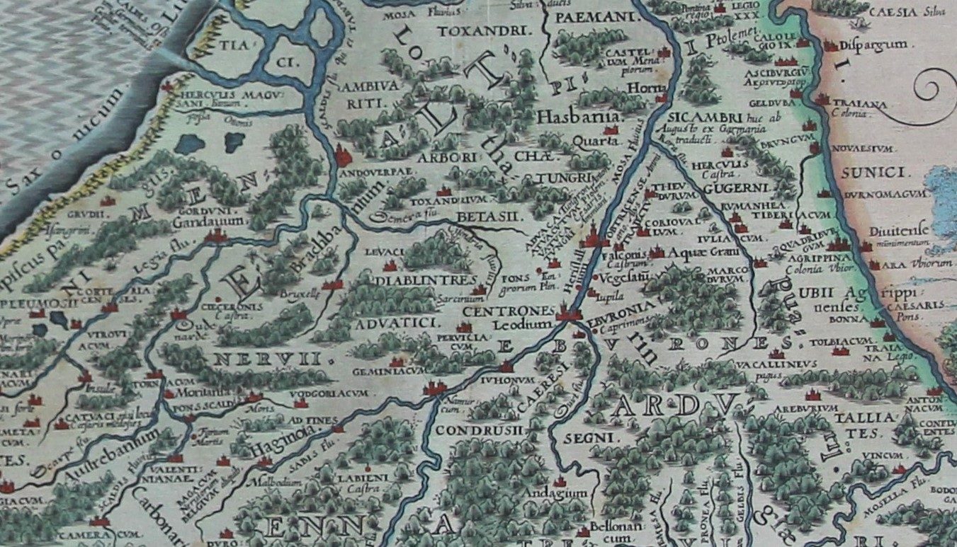
Detail
Date of first edition: 1617
Date of this map: 1617 or 1622 (the exact dating of Kaerius’ Belgica map is impossible)
Dimensions (not including margins): 48,5 x 57 cm
Dimensions (including margins): 38 x 39,5 cm
Scale bar in German miles
Condition: Very good/Good. Strong paper and sufficient margins. Very slight age-toning. Verso shows signs of previous framing. Original colouring. Handwritten provenance top left margin at at verso.
Condition rating: A
Verso: text in Latin
Map reference: van der Krogt, IIIB, 3000H:364A
From: Petri Kaerii Germania Inferior id est, XVII Provinciarum ejus novae et exactae Tabulae Geographicae, cum Luculentis Singularum descriptionibus additis. à Petro Montano. Amsterdam; van der Krogt, IIIB,A 364:01 (edition 1617) or 364:02 (edition 1622)
In stock
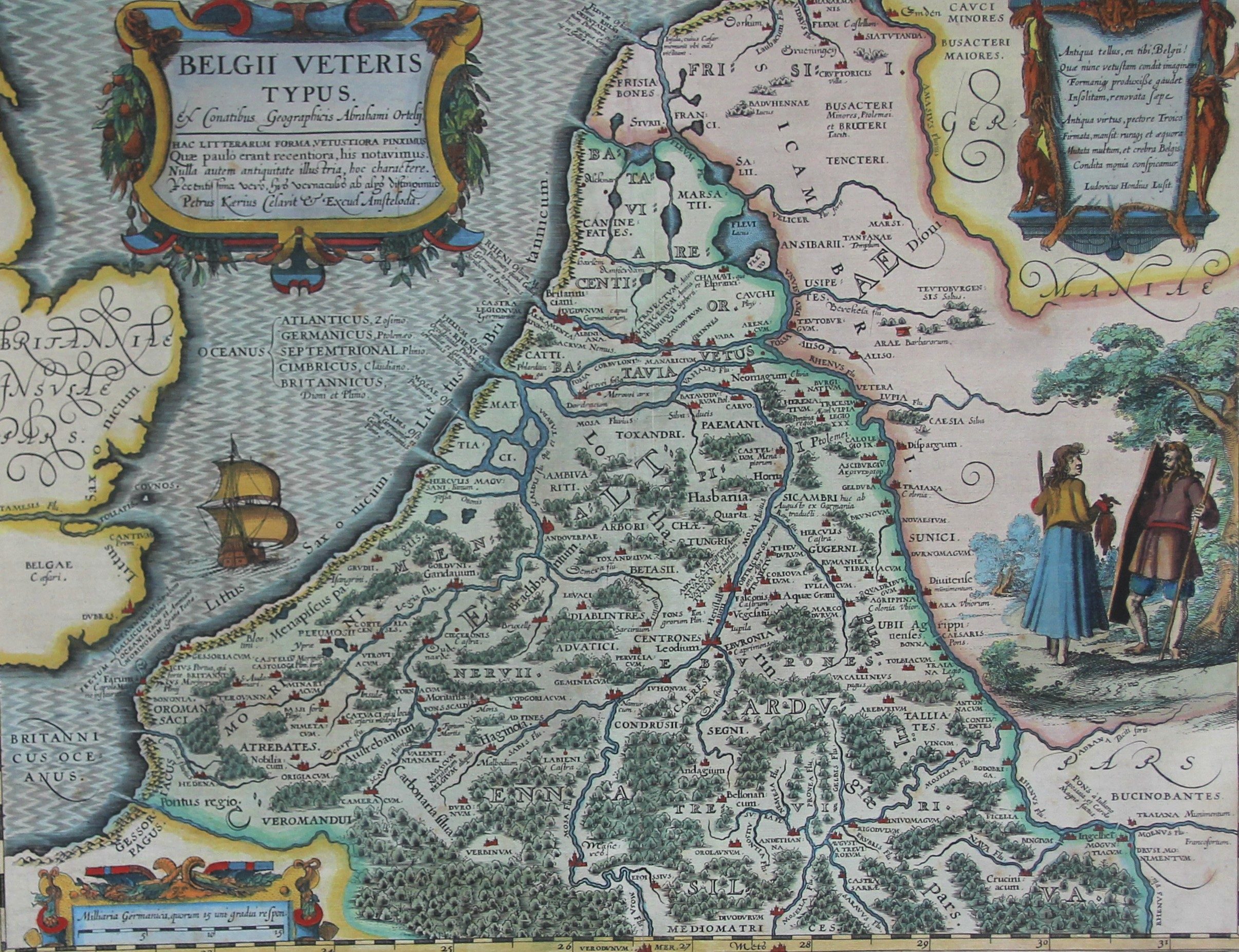
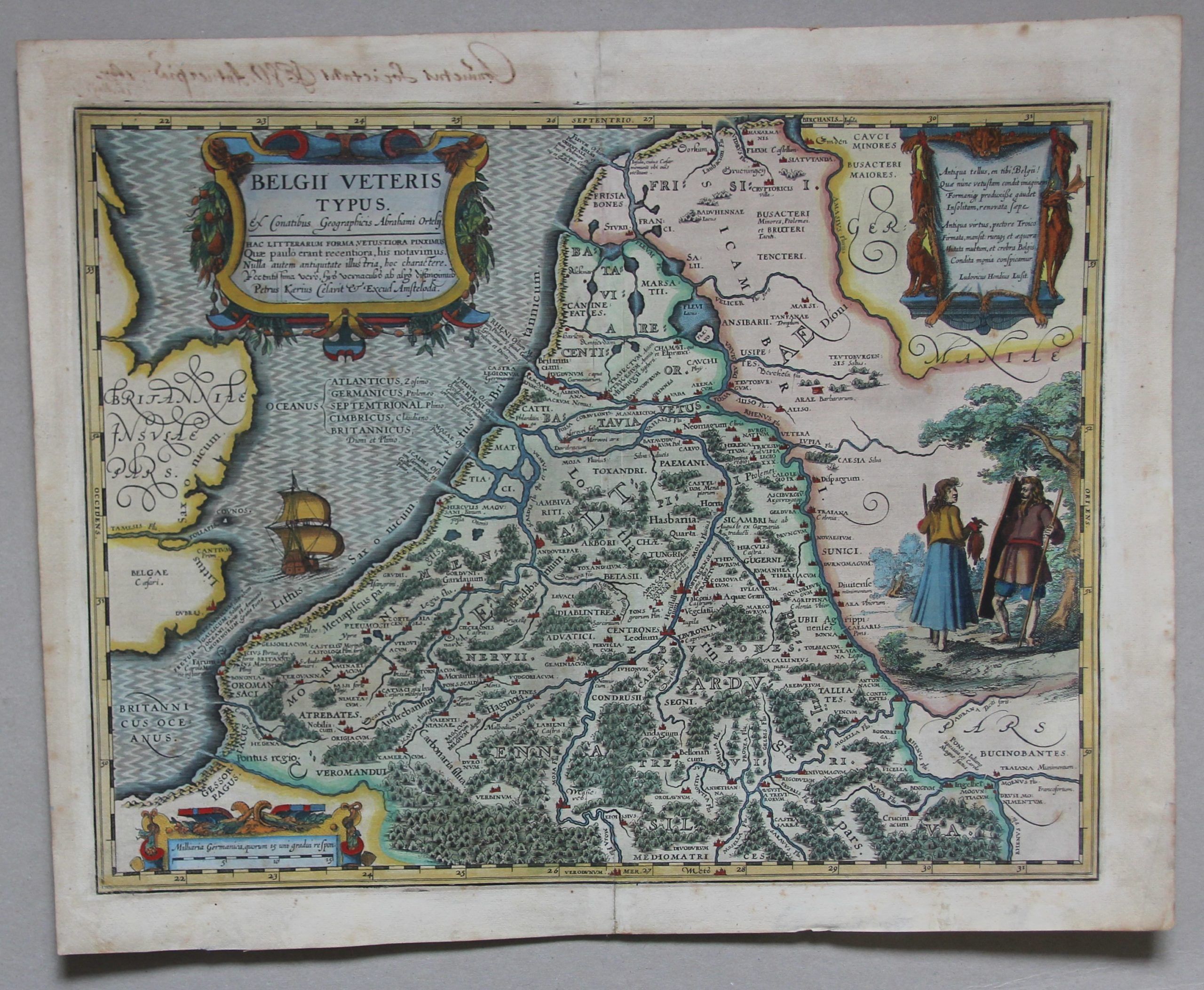

Belgica
Nice example of Peter van der Keere’s (Petrus Kaerius) map of the Low Countries in ancient times.
Scarce and superb map based on the cartography of Ortelius, from the Parergon. Graphically engraved to illustrate the forested land with a few cities and ancient place names taken from classical sources. All important Celtic tribes are mentioned and located.
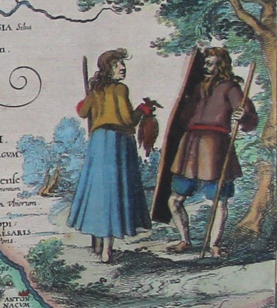
The map is elaborately adorned with three cartouches, a sailing ship, and an interesting scene showing 2 natives of the region.