The Hague (Binnenhof) – Curia Hollandiae Interior
by
Joan Blaeu
Detail
Date of first edition: 1649
Date of this map: 1652
Dimensions (not including margins): 39 x 53 cm
Dimensions (including margins): 45 x 56,8
Condition: Very good. Copper engraving on strong paper. Old colouring with wide margins.
Condition rating: A+
Verso: text in Dutch
Map reference: Van der Krogt 4, 1043
From: Novum Ac Magnum Theatrum Urbium Belgicae Liberae Ac Foederatae (Stedenboek), Amsterdam; Van der Krogt 43:121, page ij E e
Price (without VAT, possibly to be added): €1 800,00 (FYI +/- $1 998,00 / £1 602,00)
Unless otherwise specifically stated on this map page, we charge the following expedition costs in euro (unfortunatelly, gone up with Covid, but still too low in reality!):
– Benelux: 40 euro
– Rest of Europe: 60 euro
– Rest of the World: 100 euro
In stock
Related items
-
The Hague (Buitenhof) – Curia Hollandiae Exterior
by Joan BlaeuPrice (without VAT, possibly to be added): €1 500,00 / $1 665,00 / £1 335,00 -
The Hague – Hagae Comitis
by Georg Braun and Frans Hogenberg, Johannes JanssoniusPrice (without VAT, possibly to be added): €1 300,00 / $1 443,00 / £1 157,00With weapons of the city and the county of Holland
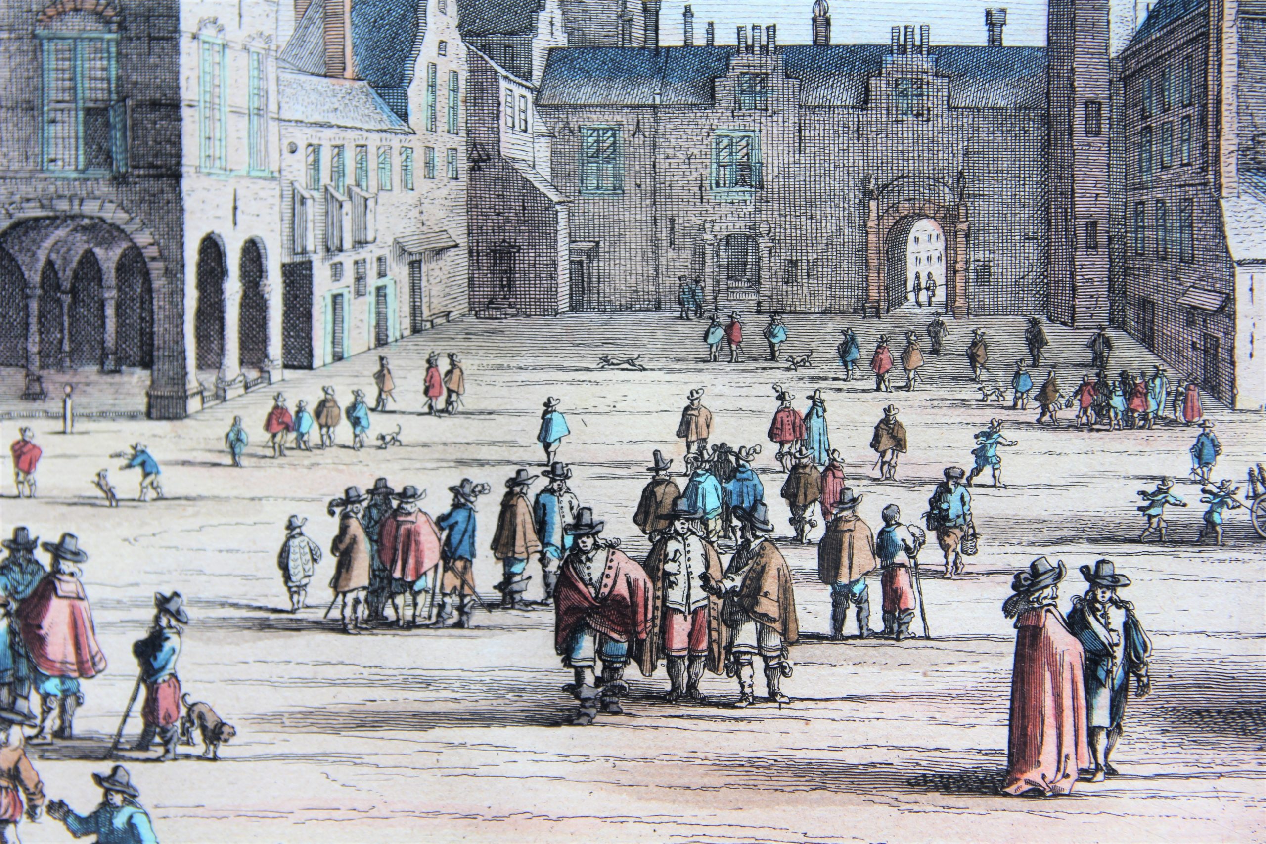
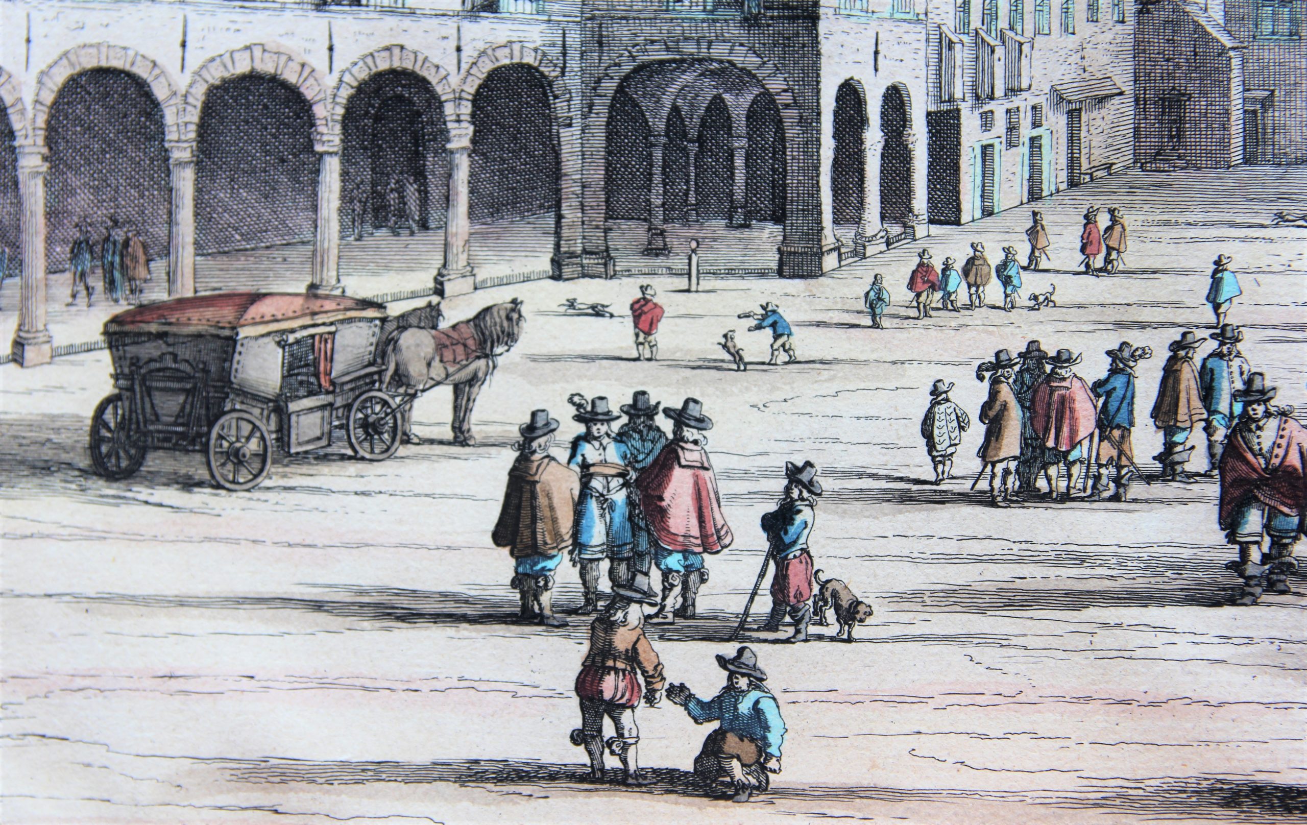
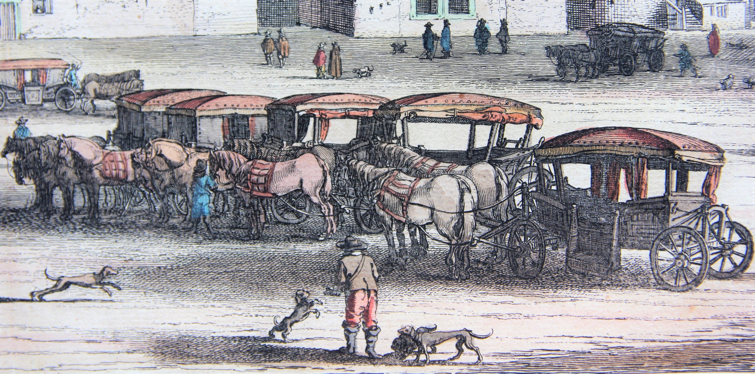
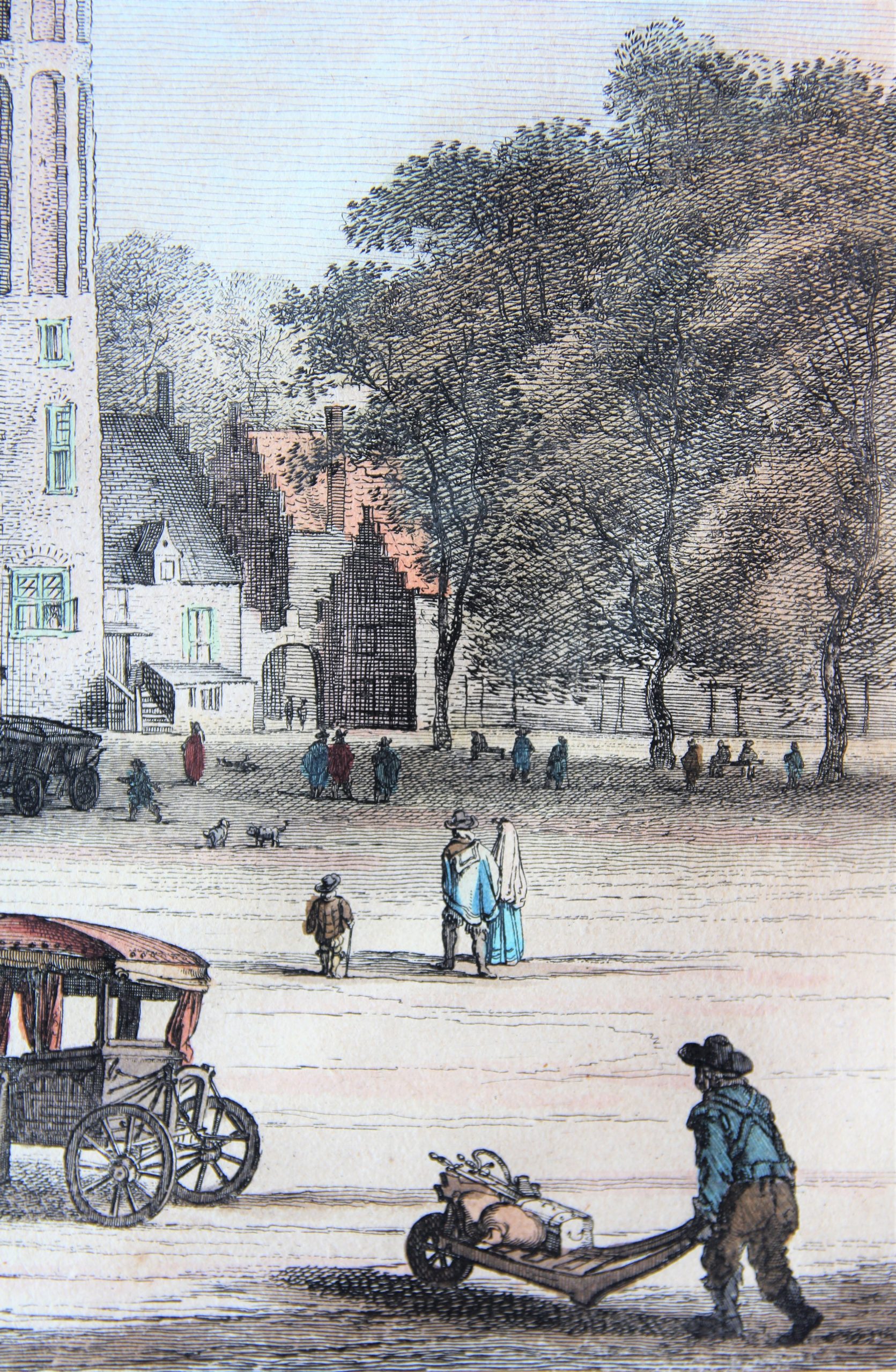
The Court of Holland: a beauty
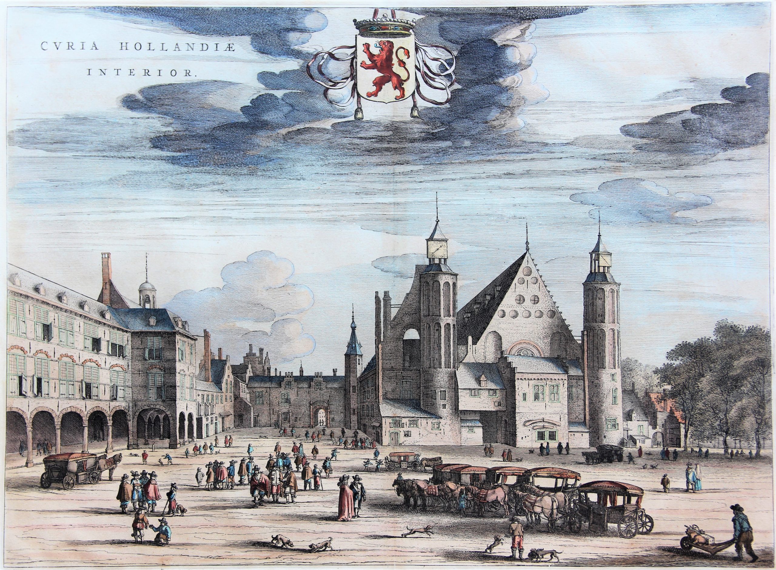
Joan Blaeu’s “Toonneel der Steden van de Vereenighde Nederlanden” of 1649 contains two prints of the Court of Holland in The Hague: the Binnenhof (interior court) and the Buitenhof (exterior court).
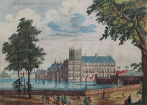
The name of this view Buitenhof is somewhat confusing: the focus of this view is entirely on the Binnenhof. Buitenhof was/is the name for the foreground courtyard closed by a series of houses, stables, a stay for troops and a prison gate: this Gevangenenpoort (see painting) which still exists, was the only entry to the Buitenhof. Under count Aalbrecht (1336-1404), hawks and other birds of prey were kept, for the purpose of hunting. The physical layout of the Buitenhof was frequently changed during the next centuries.
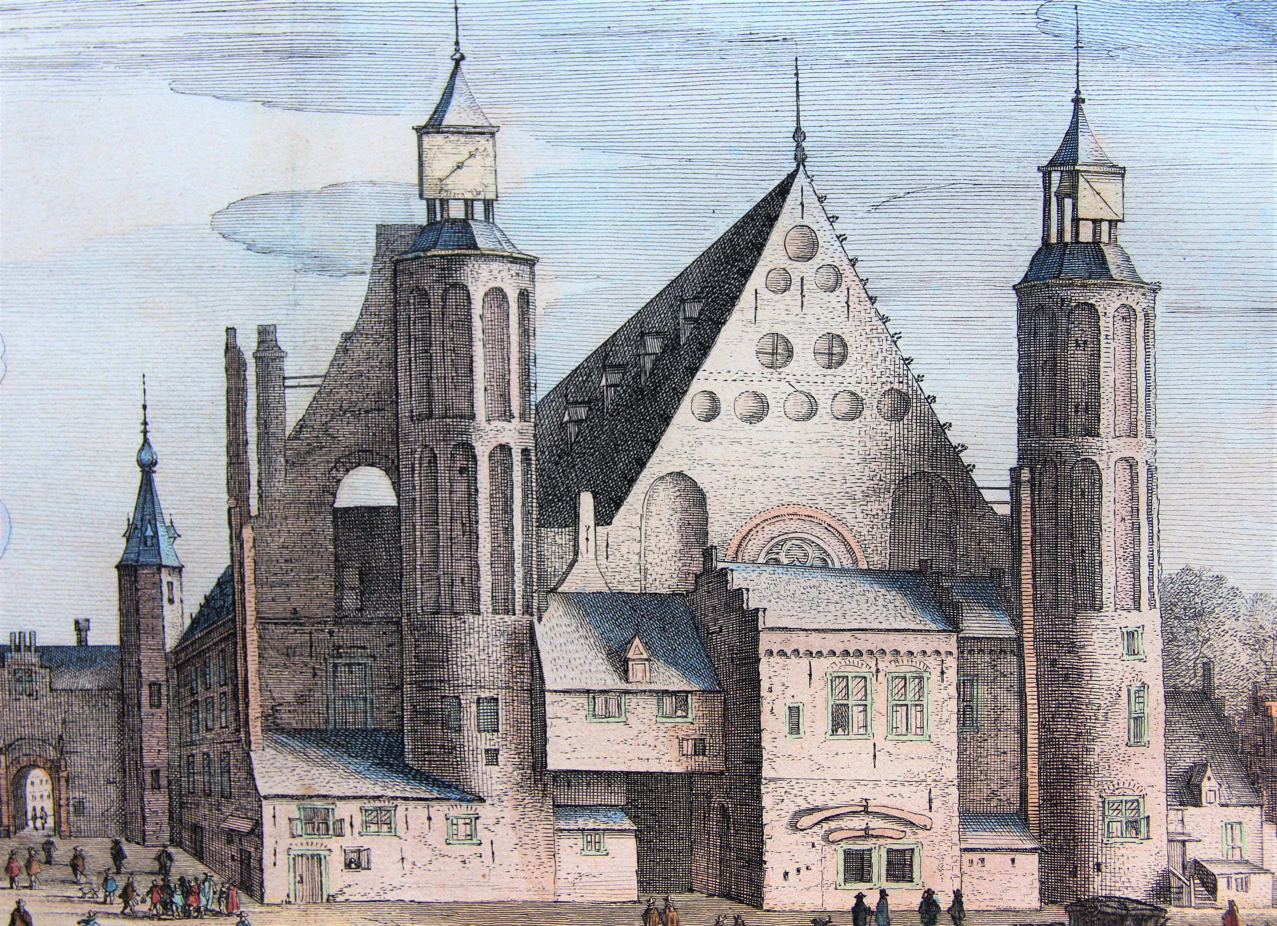
Count Willem II started in 1248 to extend the family estate and began building a chapel and a Gotic Knight’s Hall. This Ridderzaal would become the political center of Dutch politics. Other buildings shape a rectangle around the Ridderzaal, creating a large courtyard in front of the building, and a smaller square behind it (hence the name Binnenhof). Every third Tuesday of September, on “Prinsjesdag”, the Dutch king holds his annual Speech from the Throne in the Ridderzaal. It symbolizes the beginning of the new political year. The Binnenhof is the oldest House of Parliament in the world still in use.
At the forefront the high Stadhouderstoren adorns. To its right the quarters of the stadhouders (name for the highest local governor) Willem IV and Willem V (both 18th century) stand out. Along the Hofvijver lies a mix of executive buildings. Here the Twelve Years’ Truce (1609-1621) was negotiated with the Spanish. In the second half of the 17th century this area was completely redeveloped (not shown on the map). It currently holds the baroque Trêveszaal, where the Council of Ministers meets. The final building at the Hofvijver, is the famous Mauritshuis, constructed in 1640 as a local residence for Maurits of Nassau-Siegen. He is best known for his position as Governor General of Dutch Brazil (1636-1644). Just before the Mauritshuis (and just before a ditch and thus within the proper area of the Binnenhof), is the octagonal “Torentje” (turret): since 1982 it became the working residence of the Dutch Prime Minister. Both the Mauritshuis (its middle facade is in white), the ditch and the octagonal turret are visible on the picture.
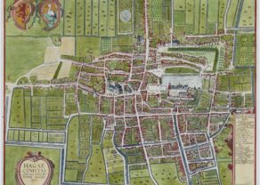
The bird’s-eye view plan from the southwest by Braun-Hogenberg was published in the sixth and last volume of their city atlas in 1628. The absence of any city walls strikes: grown by the Late Middle Ages to the size of a city, The Hague never received city rights. Standing out clearly is the late Gothic Sint-Jacobskerk. On its immediate right is the Renaissance town hall. The (open) Buitenhof and the Binnenhof with the Hofvijver are the prime interest of this plan. Note that just a few km west (top of the map), the North Sea is situated. Today, the Peace Palace houses the International Court of Justice (see final picture). The Peace Palace was built in 1907. Its purpose was to settle international disputes. And thus, it also housed the Permanent Court of International Justice (1922–1946) under the League of Nations [and its successor the International Court of Justice (1946–present)]. This court settles disputes between (mainly) nations and is not to be confused with the International Criminal Court, which deals with criminal matters on an individual level (such as genocide) and is also based in The Hague.