Gelderland and Zutphen – Gelriae
by
Abraham Ortelius
Detail
Date of first edition: 1570
Date of this map: 1603
Dimensions (without margins): 37 x 50 cm
Dimensions (including margins): 56,6 x 45 cm
Condition: Good engraving . Small tears in margin not affecting the map. Wide margins.
Condition rating: A
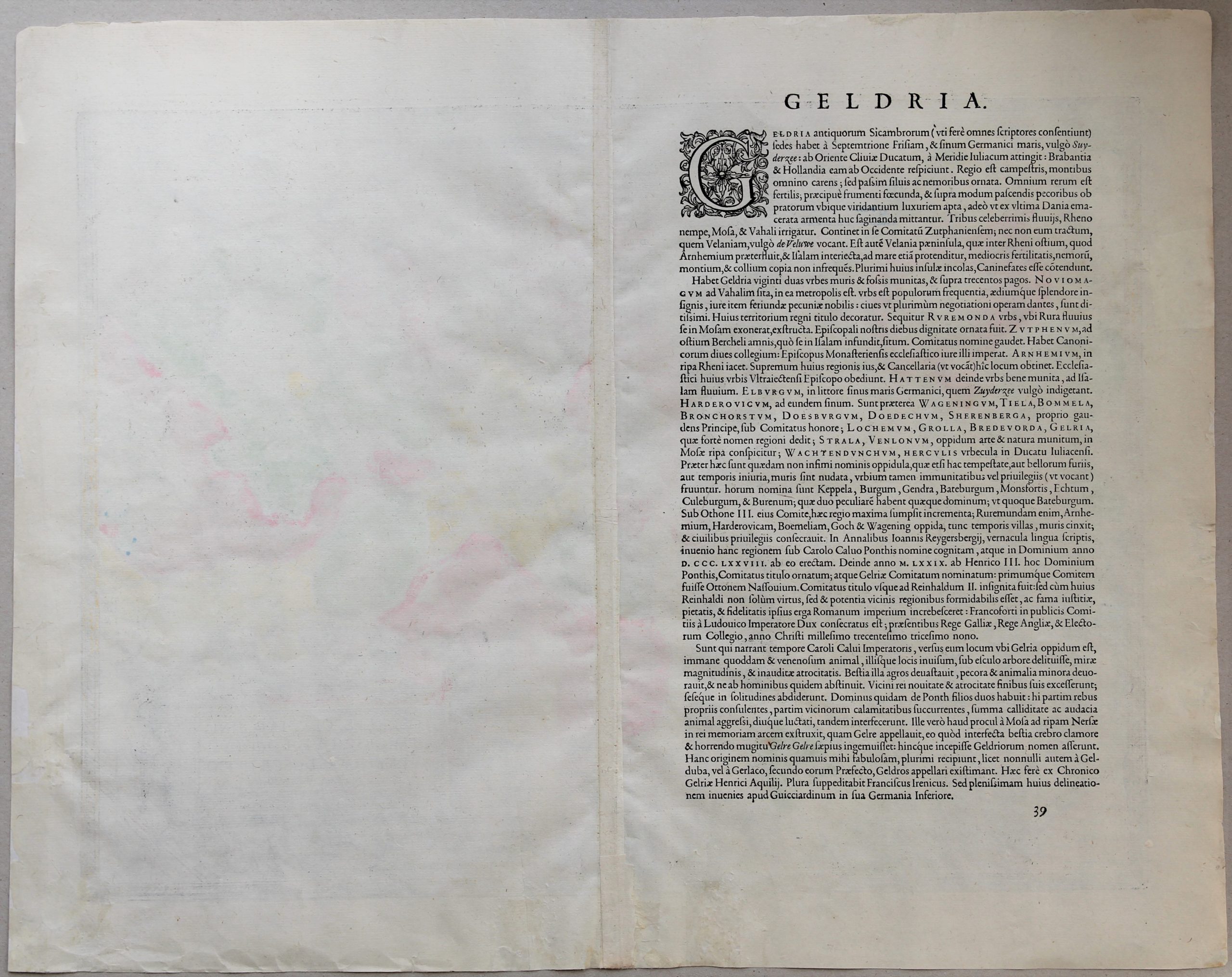
Verso: text in Latin
Map reference: Van der Krogt 3, 3700:31A; Van den Broecke, #61.
From: Theatrum Orbis Terrarum
Price (without VAT, possibly to be added): €500,00 (FYI +/- $555,00 / £445,00)
Unless otherwise specifically stated on this map page, we charge the following expedition costs in euro (unfortunatelly, gone up with Covid, but still too low in reality!):
– Benelux: 40 euro
– Rest of Europe: 60 euro
– Rest of the World: 100 euro
In stock
Related items
-
Holland – Hollandiae Antiquorum Catthorum Sedis Nova Descriptio
by Abraham Ortelius -
Holland – Hollandia Comitatus
by Willem and Joan BlaeuPrice (without VAT, possibly to be added): €1 350,00 / $1 498,50 / £1 201,50Orientated west to the top of the map. Inset of Frisian or Wadden islands
-
West Friesland and Groningen (North Netherlands) – Frisia Occidentalis
by Abraham OrteliusPrice (without VAT, possibly to be added): €500,00 / $555,00 / £445,00
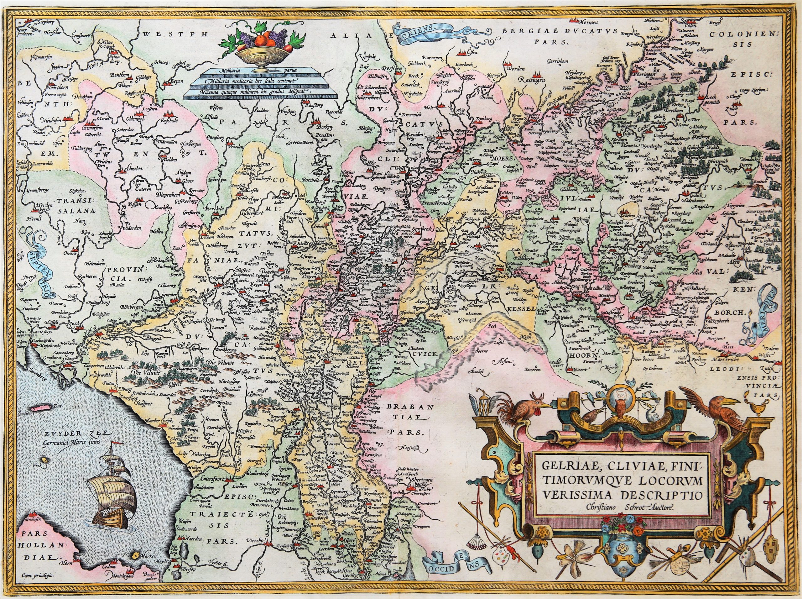
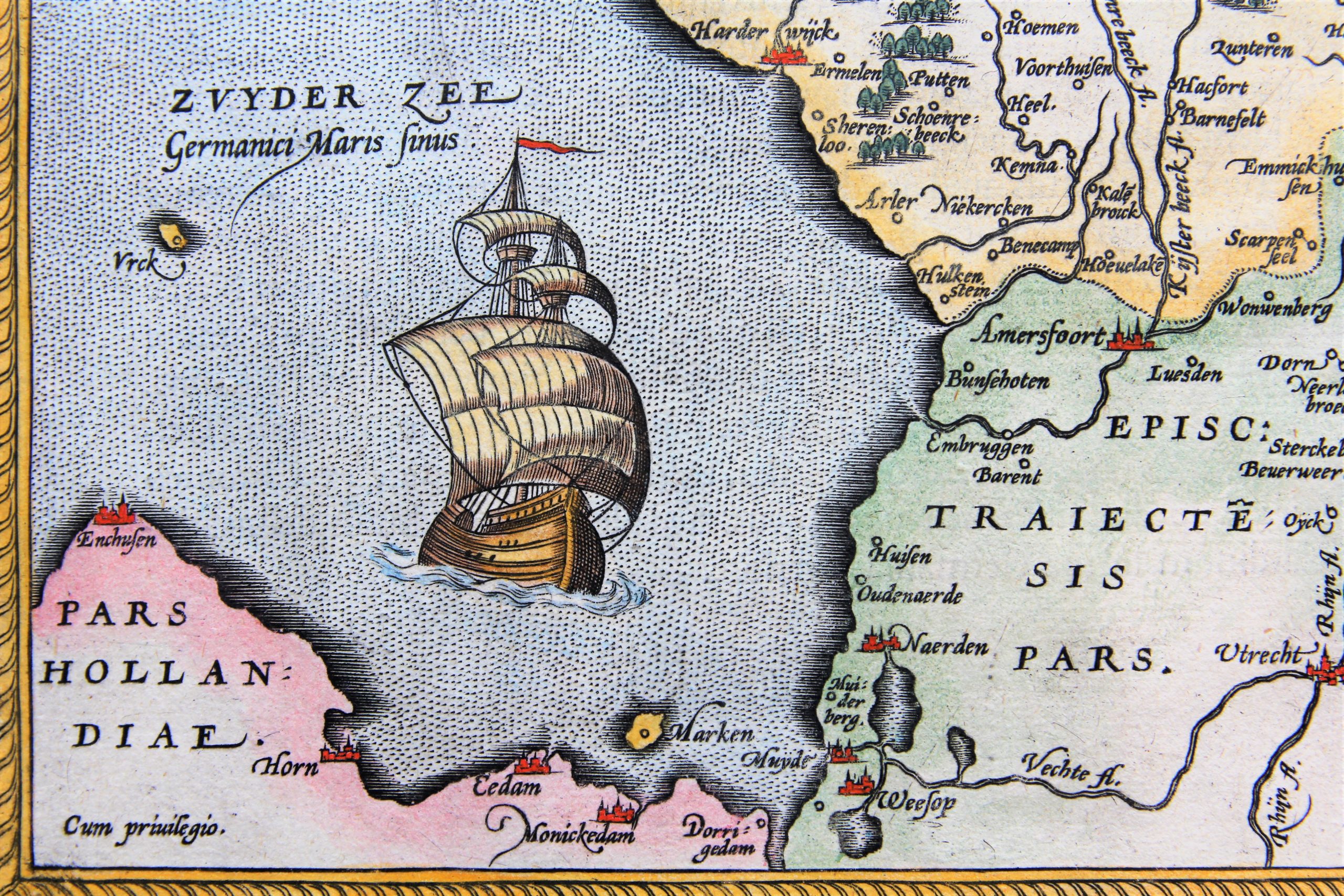
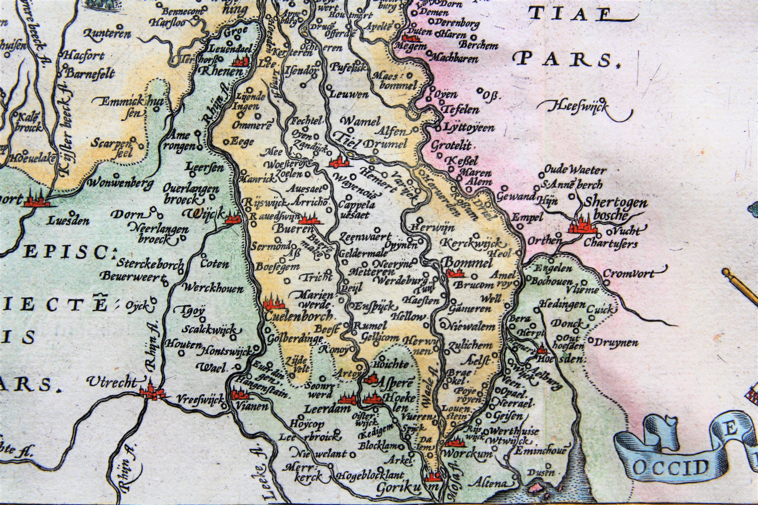
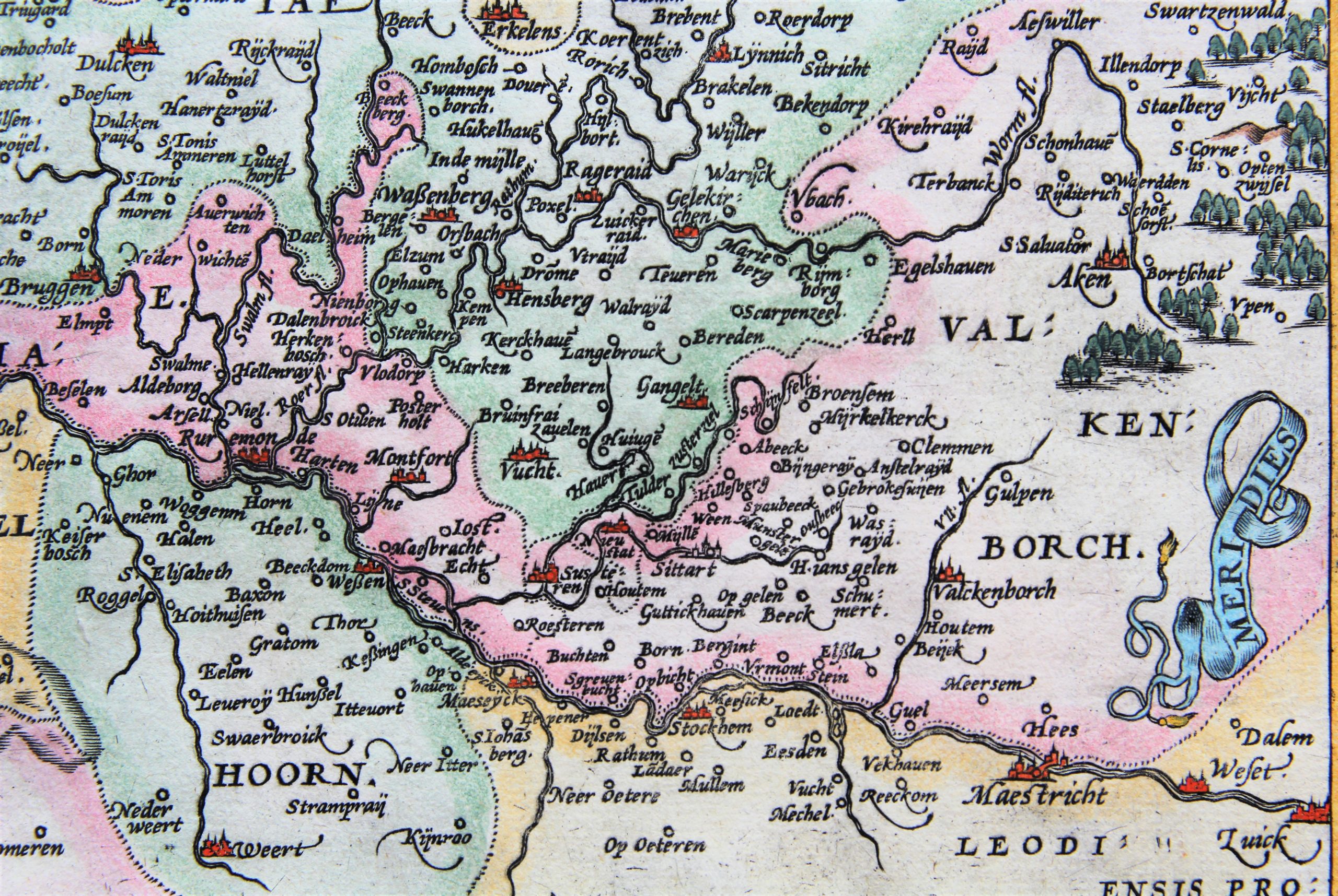
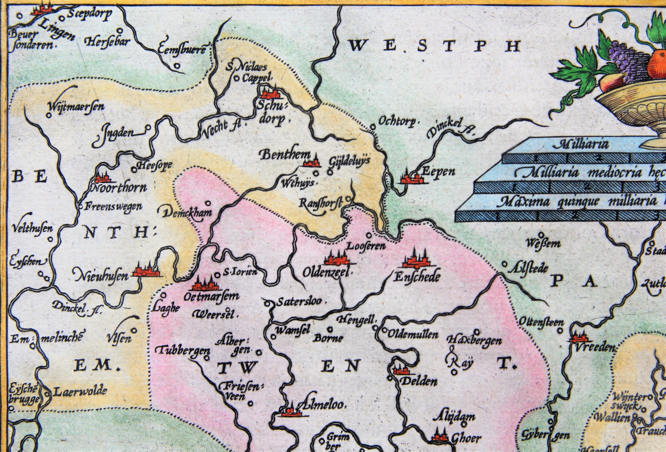
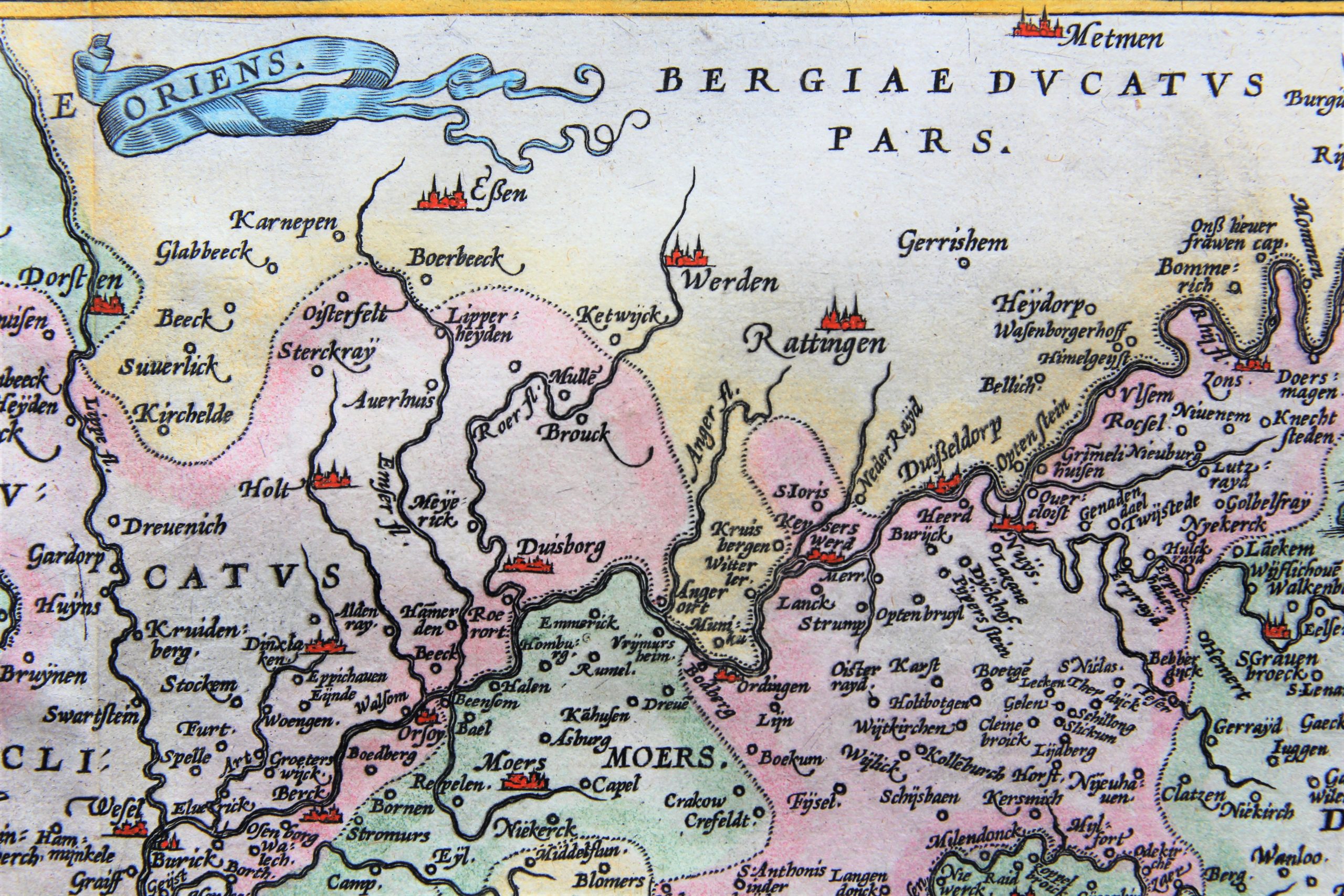
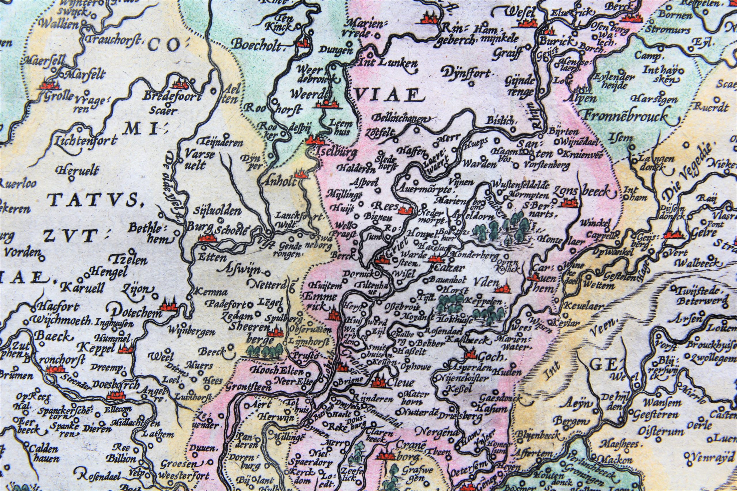

Duchy of Gelderland (Gelre) and county of Zutphen
In the Zuyder Zee sails a ship with full sails. Scale bar is nicely embellished. Made by Christiaan Schrooten, published by Ortelius and printed by Plantin in Antwerp. The 1603 version is the fourth state of this map.