Bay of Bengal – Sinus Gangeticus vulgo Golfo de Bengala
by
Petrus Schenk
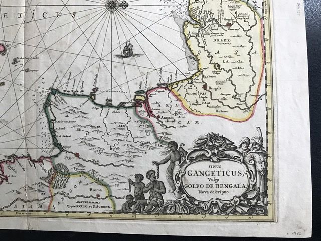
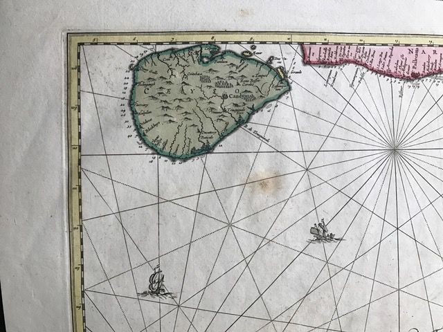
Detail
Date of first edition: 1695
Date of this map: 1695
Dimensions (not including margins): 46,5 x 53,5 cm
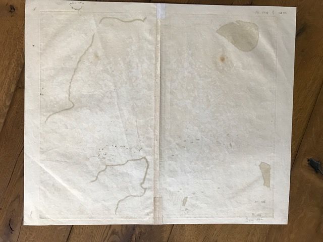
Condition: Very good. One brown spot just below Ceylon, small tear at the bottom at center fold, good margins. A fine example of original colour.
Condition rating: A+
Map reference: Morton and Bannister, p. 120.
Price (without VAT, possibly to be added): €600,00 (FYI +/- $666,00 / £534,00)
Unless otherwise specifically stated on this map page, we charge the following expedition costs in euro (unfortunatelly, gone up with Covid, but still too low in reality!):
– Benelux: 40 euro
– Rest of Europe: 60 euro
– Rest of the World: 100 euro
In stock
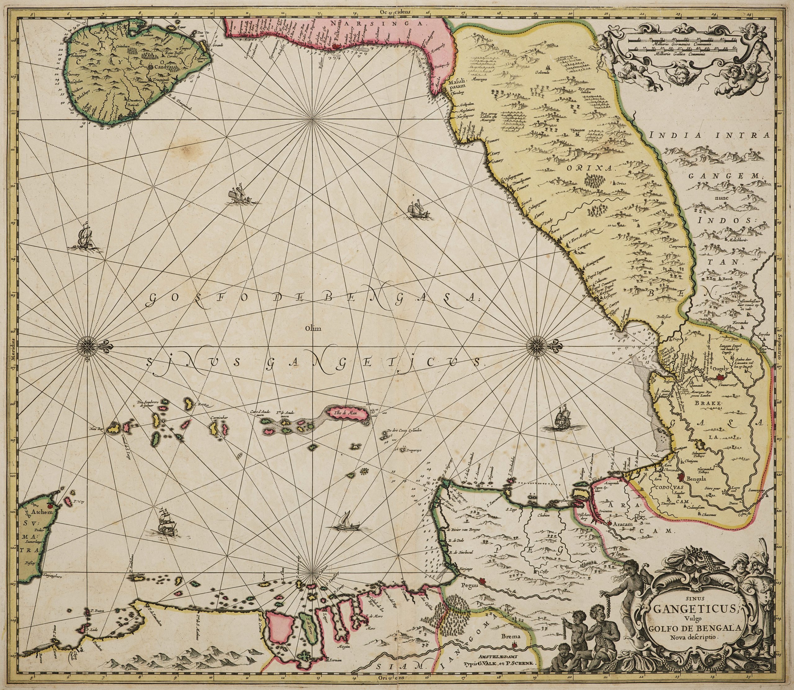
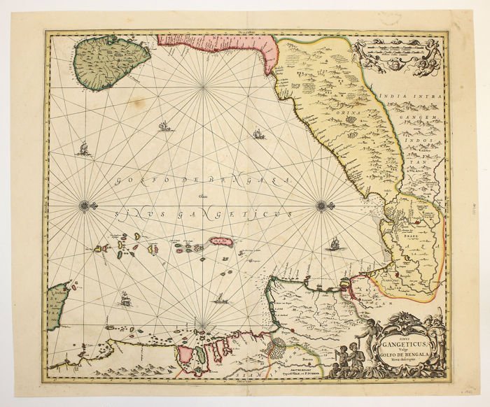
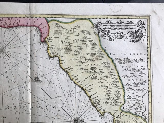

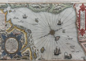
Beautiful large scale map of the Gulf of Bengal
Valk and Schenk’s edition of Jansson’s engraved map of the Bay of Bengal from Ceylan (Sri Lanka) to Sumatra. This striking large format sea chart was originally published in a Jansson sea atlas.
The style of this beautiful map and its decorative cartouche are very like Jansson and suggest this is one of the maps that Petruis Schenk (1660-1710) and Gerard Valk (1651-1726) reissued from Jansson’s Atlas Novus. North faces to the right. Schenk bought the copperplate in 1695 from Janssonius. The Bay of Bengal is decorated with compasses and ships at full sail. The scale at top left in German and French miles has its own decorated cartouche
European and Oriental vessels are shown crossing the sea.
One of the earliest obtainable Dutch Sea Charts of the region.